4 km away
Torreys Peak: Emperor Couloir
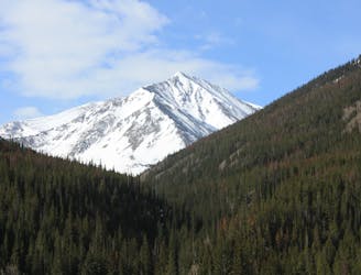
Ski a spectacular 3,000-foot line off the summit of one of Colorado's most popular 14ers.
Severe Ski Touring
- Distance
- 3.7 km
- Ascent
- 999 m
- Descent
- 999 m
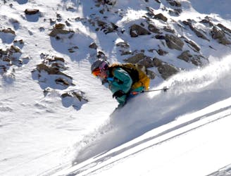
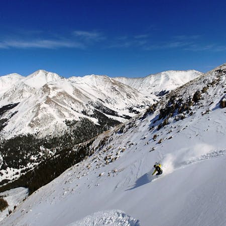
Open bowl just beyond the boundary of Arapahoe Basin
Ski Touring Difficult

Starting off with a lot of exposure, it may be necessary to hike down into the face to avoid going over rocks where the wind has scoured off the snow. Heading to skiers left will provide the easiest entry with more challenging couloirs to the right. The initial descent will be very steep followed by a long and consistent ride out with plenty of room to lay into those powder turns. Keep skiers left to head back inbounds of Arapahoe Basin Ski Area or continue down the center fall line to meet up with the pass road. Users will encounter flat sections on the way out so touring equipment or snowshoes are required.
Difficult
Serious gradient of 30-38 degrees where a real risk of slipping exists.

Little chance of being seen or helped in case of an accident.
4 km away
Ski a spectacular 3,000-foot line off the summit of one of Colorado's most popular 14ers.
Severe Ski Touring
4.5 km away
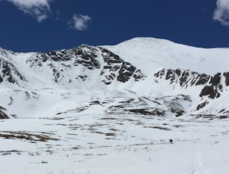
If avalanche conditions are safe this is a good powder stash near Keystone.
Moderate Ski Touring
7 km away
Great route for beginner mountaineers—climb an easy 14er, ski a short couloir, and cruise through a fun gulley back to the trailhead.
Difficult Ski Touring
12 routes · Freeride Skiing · Ski Touring
7 routes · Ski Touring