3.6 km away
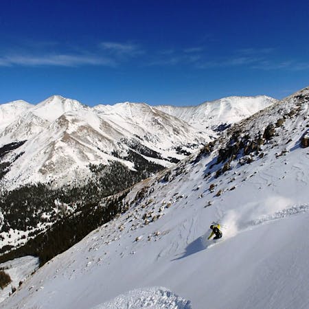
Torreys Peak: Emperor Couloir
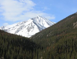
Ski a spectacular 3,000-foot line off the summit of one of Colorado's most popular 14ers.
Severe Ski Touring
- Distance
- 3.7 km
- Ascent
- 999 m
- Descent
- 999 m
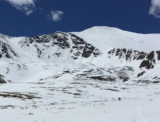
A far out there and hike for extreme steeps
Ski Touring Extreme

This one is for the bold. Mt. Sniktau is best accessed from the top of the Loveland Pass road and will require a long hike along the northwest ridgeline. A shear steep face makes up the first six hundred feet before slightly mellowing into the treeline gully below. Follow the gully back to exit 220 where you hopefully have a ride waiting.
Extreme
Extreme skiing terrain above 45 degrees. These routes are reserved for experienced experts.

In the high mountains or remote conditions, all individuals must be completely autonomous in every situation.
3.6 km away
Ski a spectacular 3,000-foot line off the summit of one of Colorado's most popular 14ers.
Severe Ski Touring
6.5 km away
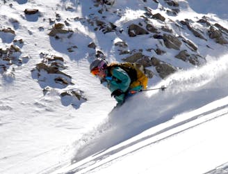
Great route for beginner mountaineers—climb an easy 14er, ski a short couloir, and cruise through a fun gulley back to the trailhead.
Difficult Ski Touring
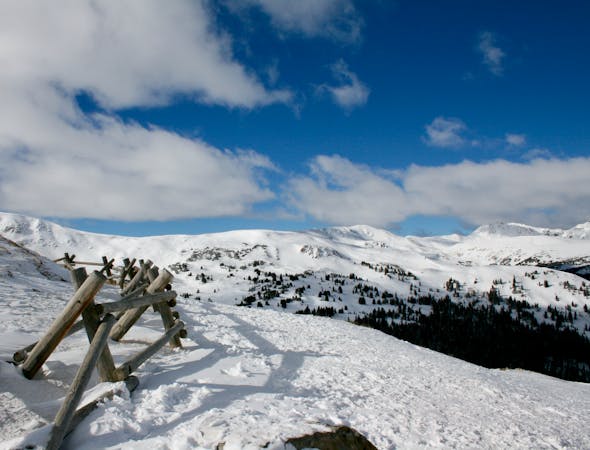
9.6 km away
If avalanche conditions are safe this is a good powder stash near Keystone.
Moderate Ski Touring
12 routes · Freeride Skiing · Ski Touring
7 routes · Ski Touring