3.2 km away
Torreys Peak: Emperor Couloir
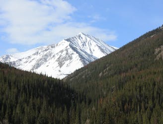
Ski a spectacular 3,000-foot line off the summit of one of Colorado's most popular 14ers.
Severe Ski Touring
- Distance
- 3.7 km
- Ascent
- 999 m
- Descent
- 999 m
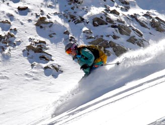
One of the tightest couloirs you will ever ski
Ski Touring Extreme

The "Trench" is a perfect name for this couloir. It could be the tightest line in all of Loveland Pass and Summit County. With its W facing aspect, steep gradient, and over width, it is by far one of the hardest lines you will ski. Please use extreme caution when skiing this line. You can access it via Mexican Hat of the Lenawee Mountain Hike and drop into it or hike straight up it. The line will start out fairly open, but then get very tight most of the way down. Make sure each turn is done wisely and access this line as early as you can. Follow the exit route out to the bottom.
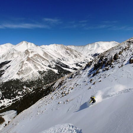
Extreme
Extreme skiing terrain above 45 degrees. These routes are reserved for experienced experts.

In case of a fall, the skier faces certain death.
In the high mountains or remote conditions, all individuals must be completely autonomous in every situation.
3.2 km away
Ski a spectacular 3,000-foot line off the summit of one of Colorado's most popular 14ers.
Severe Ski Touring
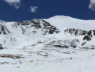
5.3 km away
If avalanche conditions are safe this is a good powder stash near Keystone.
Moderate Ski Touring
6.4 km away
Great route for beginner mountaineers—climb an easy 14er, ski a short couloir, and cruise through a fun gulley back to the trailhead.
Difficult Ski Touring
7 routes · Ski Touring