4.7 km away
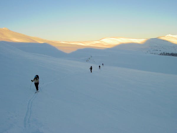
Peak 9 / 10 Summit Hike
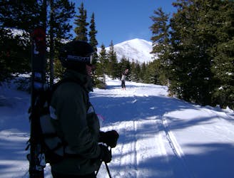
Hike Route that starts from the Backcountry Gate
Moderate Ski Touring
- Distance
- 2.4 km
- Ascent
- 408 m
- Descent
- 6 m
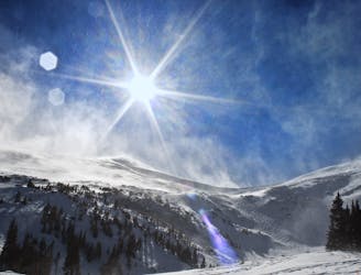
Y shaped Chute off the backside of Peak 6
Ski Touring Difficult

The best way to get into this line is right off the summit of Peak 6. In accordance with ski patrol, you must access through backcountry gates. You will find the access gate at the top of the Peak 6. You could also skin from the Copper Mountain side as well. Just like S and K chutes, you will have to down climb the rocks into the line. You also have an option skier's right. Understand that the down climb could take time and there is no set route. Also be aware of cross loading at the top of the line. Once you enter into either line, enjoy a simple straight forward line down to the bottom and stay skier's right on the exit. Find the bridge to cross Tenmile Creek over to the parking lot. If you are taking the bus, it will be South towards I-70 at the entrance of the Copper Mountain Resort.
Difficult
Serious gradient of 30-38 degrees where a real risk of slipping exists.

As well as the slope itself, there are some obstacles (such as rock outcrops) which could aggravate injury.

Little chance of being seen or helped in case of an accident.
4.7 km away
Hike Route that starts from the Backcountry Gate
Moderate Ski Touring
4.7 km away
Nice long decent off Peak 9 Summit
Difficult Ski Touring
6 km away
The approach to a backcountry hut with an abundance of touring opportunities.
Easy Ski Touring
10 km away
When the avalanche danger gets high around Vail head to Uneva Ridge for some low angle pow laps.
Moderate Ski Touring
6 routes · Ski Touring