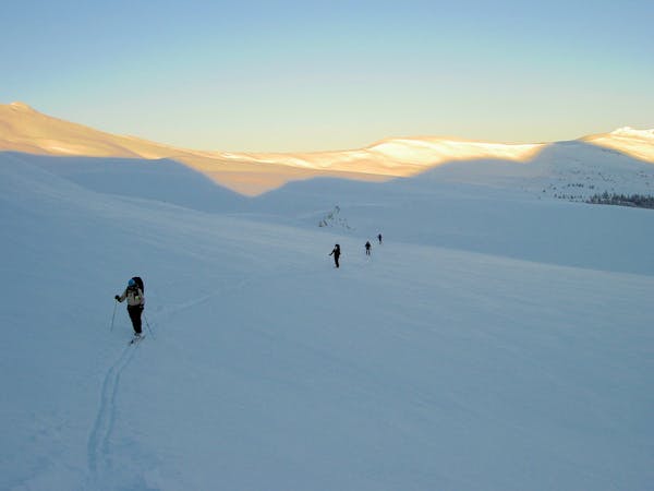
Chickaree Way Uphill
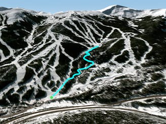
A somewhat obscure up-track through the woods, from West Village to Timberline Express.
Moderate Resort Ski Touring
- Distance
- 1.6 km
- Ascent
- 197 m
- Descent
- 3 m
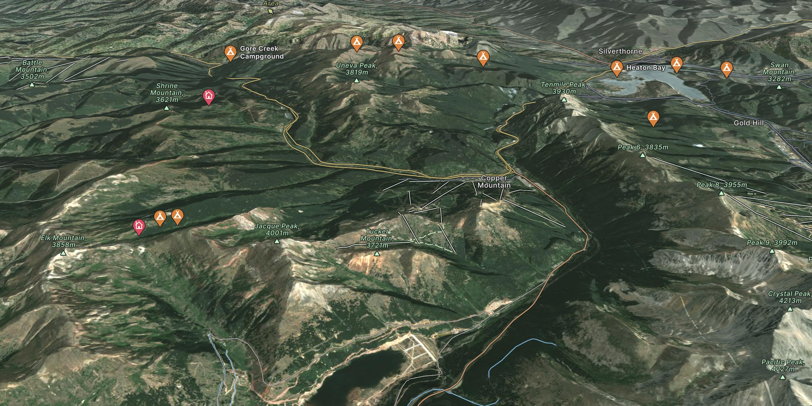
Explore Copper Mountain with curated guides of the best ski routes, and more. With over 42 3D trail maps in FATMAP, you can easily discover and navigate the best trails in Copper Mountain.
No matter what your next adventure has in store, you can find a guide on FATMAP to help you plan your next epic trip.
Get a top trail recommendation in Copper Mountain from one of our 9 guidebooks, or get inspired by the 42 local adventures uploaded by the FATMAP community. Start exploring now!
A somewhat obscure up-track through the woods, from West Village to Timberline Express.
Moderate Resort Ski Touring

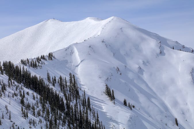
A way to reach the Union Meadows sidecountry without relying on a lift.
Moderate Resort Ski Touring

A woodsy uphill route near the outskirts of Copper Mountain Resort.
Moderate Resort Ski Touring

An easy daytime uphill route, and the start of the approach to Janet’s Cabin in the backcountry.
Easy Resort Ski Touring

A mid-mountain blue run for daytime uphill laps at Copper.
Moderate Resort Ski Touring

A mid-mountain green run for daytime uphill laps at Copper.
Easy Resort Ski Touring

Morning and evening uphill access, from East Village to the top of Super Bee.
Moderate Resort Ski Touring

Morning and evening uphill access, from Center Village to the top of Super Bee.
Moderate Resort Ski Touring

26 routes · Mountain Biking

25 routes · Mountain Biking
3 routes · Freeride Skiing
6 routes · Ski Touring

10 routes · Hiking

40 routes · Hiking

17 routes · Resort Ski Touring
40 routes · Resort Ski Touring