2.2 km away
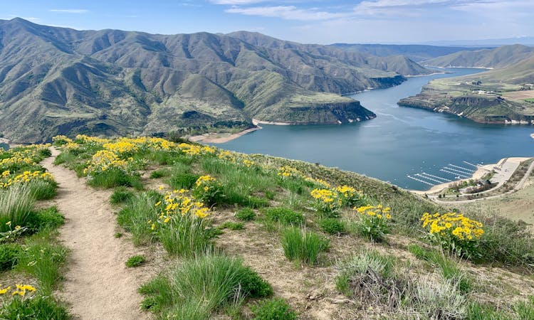
Highland Valley - Cobb Loop
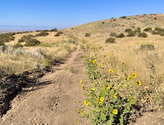
Steep training loop in the foothills of Lucky Peak.
Moderate Trail Running
- Distance
- 9 km
- Ascent
- 440 m
- Descent
- 440 m
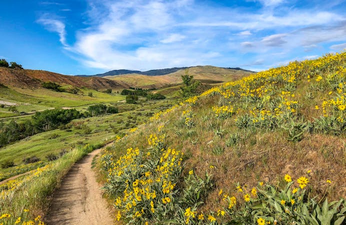
Scenic run along the historic route of the Oregon Trail.
Trail Running Moderate

The Oregon Trail Reserve is a small, slender park tucked between neighborhoods of Southeast Boise. It preserves part of the historic wagon road, including a ramp that was dynamited through the basalt cliffs.
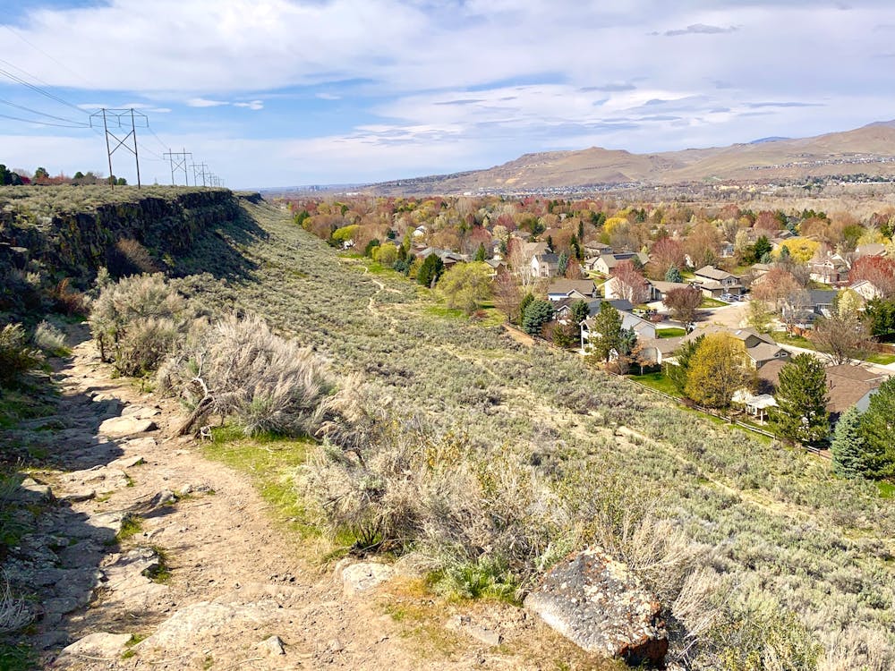
This loop follows the best of the small network of trails here, providing opportunities to stop at overlooks and read interpretive signs. Rim Trail traces the top of the cliffs, where the overlooks are, then connects with Basalt Trail. Basalt Trail cuts steeply but briefly through the cliffs, utilizing the historic ramp, then runs along the bottom, beside a residential area.
Moderate

The trail contains some obstacles such as outcroppings and rock which could cause injury.

Close to help in case of emergency.
2.2 km away
Steep training loop in the foothills of Lucky Peak.
Moderate Trail Running
2.9 km away
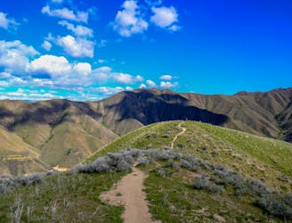
Stout run or long hike to the top of a Boise local mountain.
Difficult Trail Running
10 km away

A scenic workout in Boise's Military Reserve park.
Moderate Trail Running
10 routes · Trail Running
8 routes · Hiking · Trail Running