2.9 km away
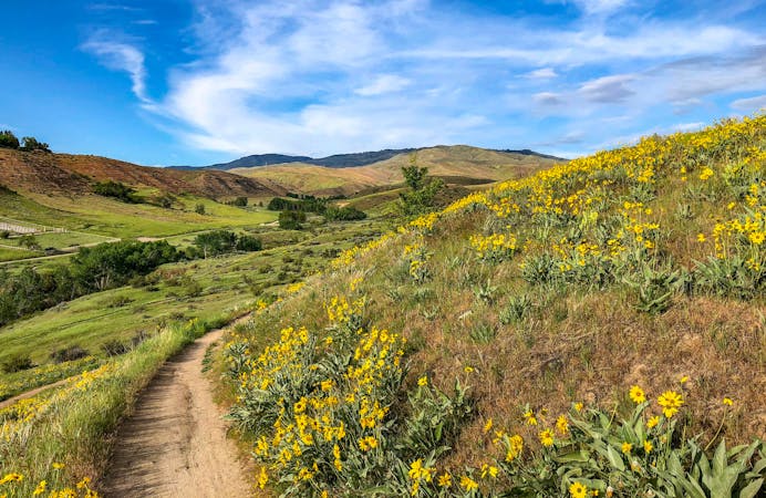
Rim and Basalt Trail Loop
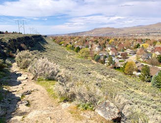
Scenic run along the historic route of the Oregon Trail.
Moderate Trail Running
- Distance
- 4.3 km
- Ascent
- 58 m
- Descent
- 58 m
Stout run or long hike to the top of a Boise local mountain.
Trail Running Difficult

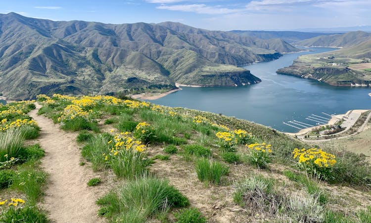
Lucky Peak is the obvious mountain rising east of Boise, making an easily accessible incline playground for all types of recreation. This route is one of the more direct ascents and grants landscape panoramas every step of the way. If taken to the top and back, it's nearly a half-marathon with more than 3000 feet of gain. Prepare for a grueling few hours!
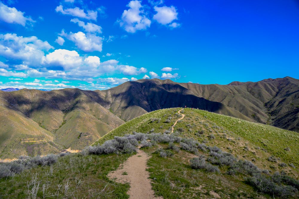
The ascent begins on the non-motorized Homestead Trail, then takes Lucky Peak Road the rest of the way up. The road is for 4WD vehicles, but traffic is usually light, and it's actually closed to motorized use Nov 15-May 1. You can guarantee solitude during those colder months, but it might be hard to find good conditions for running.
The elevation and exposure on Lucky Peak warrant certain considerations for weather. The treeless, south-facing slopes roast in the summer, and the upper elevations hold snow throughout winter and spring. The best times for covering the whole mountain would be early mornings in the summer or anytime in the fall before it snows too much.
Note that there are multiple trails and roads that reach the top of Lucky Peak. The route mapped here returns by the same way, but you could devise your own variations to switch it up.
Source: https://www.ridgetorivers.org/
Difficult

The path is on completely flat land and potential injury is limited to falling over.

Away from help but easily accessed.
2.9 km away
Scenic run along the historic route of the Oregon Trail.
Moderate Trail Running
2.9 km away
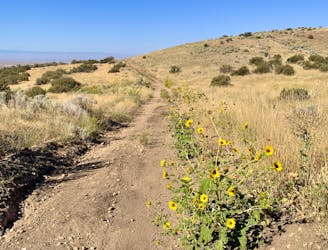
Steep training loop in the foothills of Lucky Peak.
Moderate Trail Running
7.7 km away

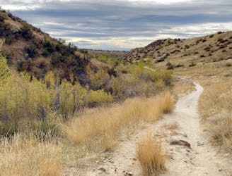
A scenic workout in Boise's Military Reserve park.
Moderate Trail Running
9.7 km away
Efficient climb up Hulls Gulch and a scenic return on Crestline and Kestrel Trails.
Moderate Trail Running
10 routes · Trail Running
8 routes · Hiking · Trail Running