2.1 km away
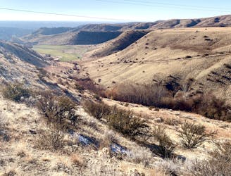
Shane's Loop from Freestone Creek

A scenic workout in Boise's Military Reserve park.
Moderate Trail Running
- Distance
- 9.6 km
- Ascent
- 247 m
- Descent
- 247 m
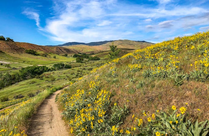
Efficient climb up Hulls Gulch and a scenic return on Crestline and Kestrel Trails.
Trail Running Moderate

This is a popular loop in the Boise foothills, close to downtown and easily accessed. It's on multi-use trails that are loved by walkers and bikers as well. In accordance with the new 2021 Pilot Program, Lower Hulls Gulch is open to foot travel only on even-numbered days of the month during spring-fall, and only to downhill bikers on odd-numbered days. So plan for what day you'll go to run.
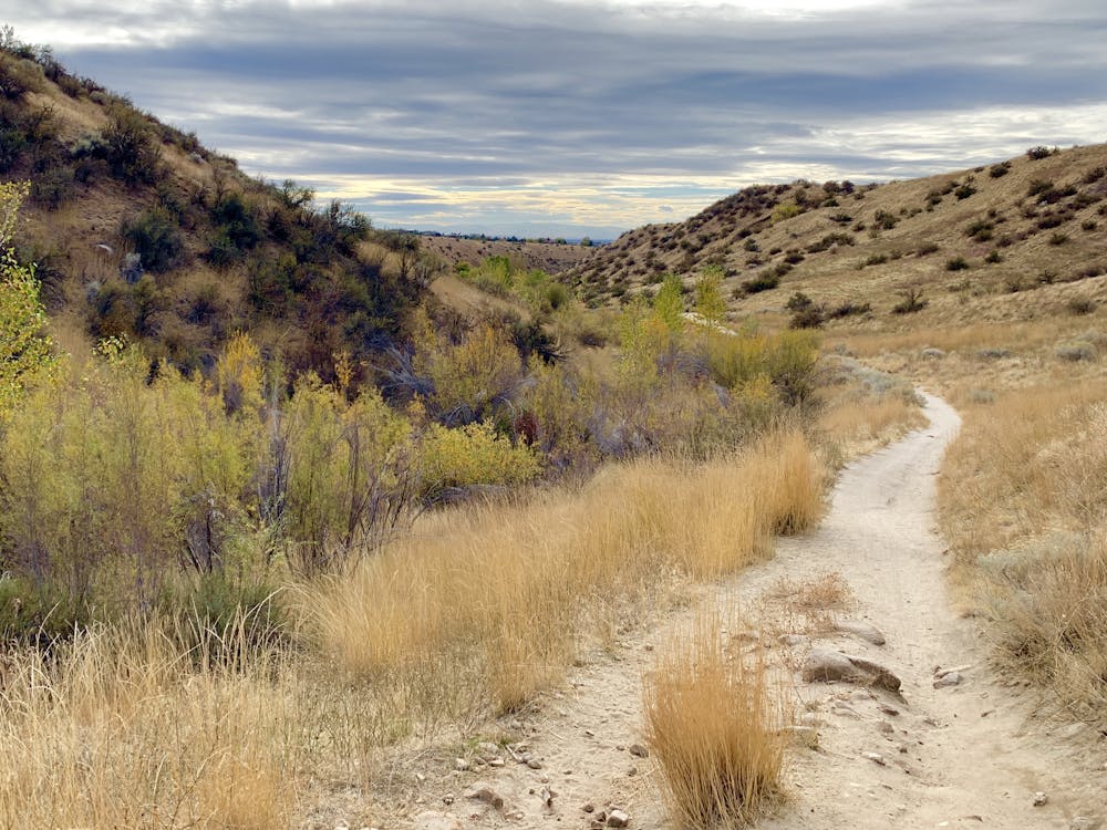
The loop mapped here goes up Lower Hulls Gulch Trail, briefly uses Motorcycle Trail to connect with Crestline Trail, then goes down Kestrel Trail. This direction is preferred by most because the gulch is a more gradual climb than Kestrel, and because views are best when looking out over Boise from Crestline Trail. Either direction is good, though, and the network of other trails makes variations possible.
The trails are, for the most part, smooth, but in Hulls Gulch, you'll find sandy spots and rocky sections––just enough to keep things interesting. Crestline and Kestrel are nothing but hardpack highways, with wide-open views over the grassy hills.
Moderate

The trail contains some obstacles such as outcroppings and rock which could cause injury.

Close to help in case of emergency.
2.1 km away
A scenic workout in Boise's Military Reserve park.
Moderate Trail Running
3.1 km away
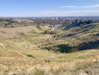
One of Boise's best local trail run loops.
Moderate Trail Running
4.1 km away
One idea for a hilly training loop in Hillside to Hollow Reserve.
Moderate Trail Running
5.5 km away

Singletrack loop in the hills, convenient to Boise and Meridian.
Moderate Trail Running
9.7 km away
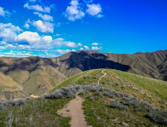
Stout run or long hike to the top of a Boise local mountain.
Difficult Trail Running
10 routes · Trail Running
8 routes · Hiking · Trail Running