1.9 km away
Hillside to Hollow Ridge Loop
One idea for a hilly training loop in Hillside to Hollow Reserve.
Moderate Trail Running
- Distance
- 8.5 km
- Ascent
- 241 m
- Descent
- 241 m
Singletrack loop in the hills, convenient to Boise and Meridian.
Trail Running Moderate

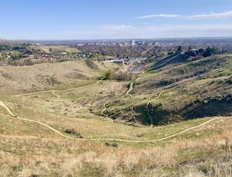
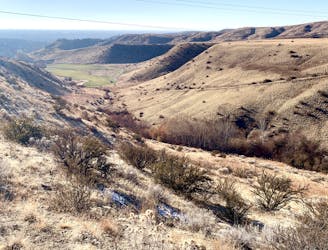
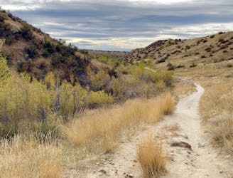
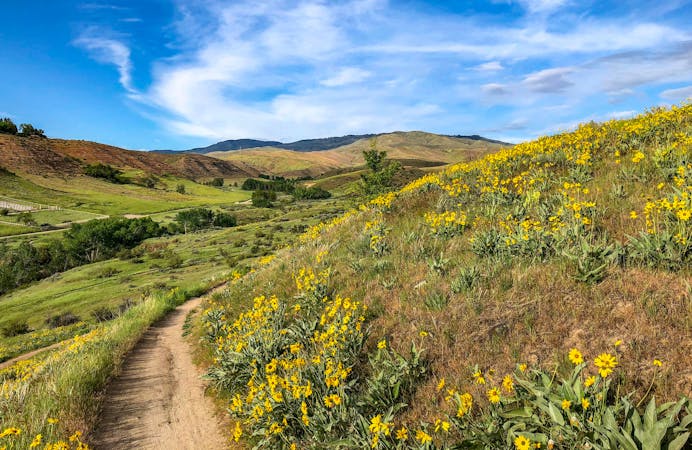
This trail loop is almost all singletrack, winding through the grassy foothills of the Boise Front. It goes gradually up the valley of Polecat Gulch to a panoramic ridgeline, then twists in and out of smaller canyons. It mostly contours the ridges, avoiding any super steep sections. One quick descent awaits at the end to return to the trailhead.
The surface is mostly hardpack, but it has some significant sandy stretches. Much of the route is on north-facing slopes, so it can be good in summer when other places are too hot. The downside is that these trails are slower to dry than some others in the area, so they may be too muddy in the colder seasons. As mapped here, the loop starts from Polecat Gulch trailhead, but you could alternately start from the parking area on Cartwright Road.
Note: As of 2021, all users are required to travel counter-clockwise on this loop (may not apply in the winter).
Source: https://www.ridgetorivers.org/
Moderate

The trail contains some obstacles such as outcroppings and rock which could cause injury.

Close to help in case of emergency.
1.9 km away
One idea for a hilly training loop in Hillside to Hollow Reserve.
Moderate Trail Running
4.2 km away
One of Boise's best local trail run loops.
Moderate Trail Running
5.5 km away
Efficient climb up Hulls Gulch and a scenic return on Crestline and Kestrel Trails.
Moderate Trail Running
7.4 km away

A scenic workout in Boise's Military Reserve park.
Moderate Trail Running
10 routes · Trail Running