3.1 km away
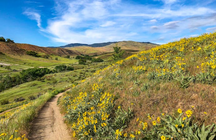
Hulls Gulch and Kestrel Loop
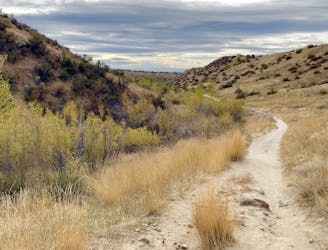
Efficient climb up Hulls Gulch and a scenic return on Crestline and Kestrel Trails.
Moderate Trail Running
- Distance
- 8.5 km
- Ascent
- 213 m
- Descent
- 213 m
One of Boise's best local trail run loops.
Trail Running Moderate

This is one of the best medium-length training loops near the city––with smooth, firm trails and a lot of hills! The climbs and descents are mostly all steady, with nothing too steep, and there's a good mix of ups and downs to keep things interesting throughout the loop. It follows Corrals Trail, Bob's Trail, and Highland Trail through a mix of hillsides, ridgelines, and canyons in the foothills.
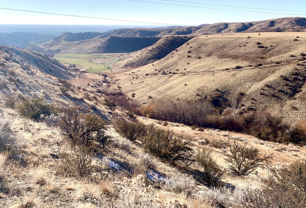
As mapped here, the loop begins from Corrals Trailhead on Bogus Basin Road. Parking there is a bit awkward, only available on the road shoulder opposite the trail. Alternate parking with more spaces is just up the road at Miller Gulch Trailhead. You could even start the loop at an entirely different point, like from Bob's Trail trailhead on Hearthstone Drive, or from the 8th Street extension trailhead. The variety of options is another plus for this loop.
Moderate

The trail contains some obstacles such as outcroppings and rock which could cause injury.

Close to help in case of emergency.
3.1 km away
Efficient climb up Hulls Gulch and a scenic return on Crestline and Kestrel Trails.
Moderate Trail Running
4 km away
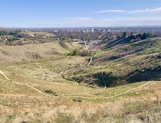
One idea for a hilly training loop in Hillside to Hollow Reserve.
Moderate Trail Running
4.2 km away

Singletrack loop in the hills, convenient to Boise and Meridian.
Moderate Trail Running
5.1 km away

A scenic workout in Boise's Military Reserve park.
Moderate Trail Running
8.4 km away
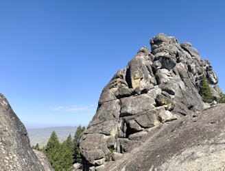
A scenic romp through mountainside meadows and montane forest, with bonus views from the iconic Stack Rock formation.
Moderate Trail Running
10 routes · Trail Running