6.3 km away
Heritage Trail to Sunset Point
A fully-accessible path to a spectacular overlook of the Green River.
Easy Hiking
- Distance
- 1.2 km
- Ascent
- 21 m
- Descent
- 21 m
A short 1.5-mile hike to a sinkhole about 10 minutes from the visitor center.
Hiking Moderate

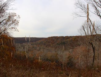
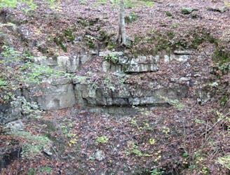
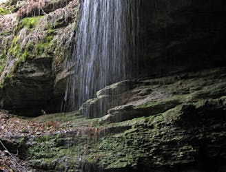
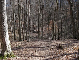
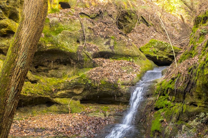
Hike along massive rock bluff and cavernous overhangs on one of Mammoth Cave's staple hikes, the Cedar Sink Trail. This "lush walk through the woods" offers intimate views of Kentucky's karst landscape defined by underground rivers, caves, and sinks. As you hike, you can see "water coming from holes in the ground and then disappearing back into massive walls," a unique and fascinating phenomenon that is quite common throughout the park. Source
The trailhead for Cedar Sink is about 10 minutes from the park's main visitor center, so plan accordingly if you are passing time between cave tours or ranger-led programs. Both beginning at the visitor center, Heritage Trail or Dixon Cave are two family-friendly to consider if you are already at the visitor center.
The trail is well-maintained and should take most between 1-2 hours to complete. Stairs negotiate the steeper sections, while narrow walkways lined with railings follow the cliff's edge.
Sources: https://www.theoutbound.com/kentucky/hiking/hike-the-cedar-sink-trail
Moderate
Hiking along trails with some uneven terrain and small hills. Small rocks and roots may be present.

The trail contains some obstacles such as outcroppings and rock which could cause injury.
Away from help but easily accessed.
6.3 km away
A fully-accessible path to a spectacular overlook of the Green River.
Easy Hiking
6.3 km away
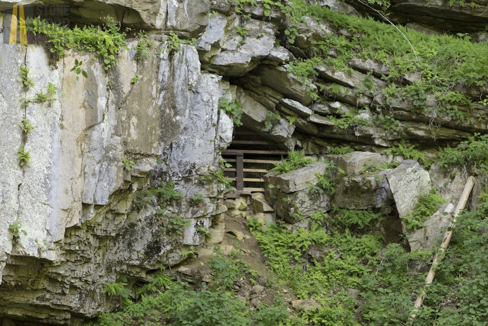
A short hike to a view of a collapsed cave entrance.
Easy Hiking
6.3 km away
A short hike to a spring where water emerges from an underground cave.
Easy Hiking
6.3 km away
A looped hike with smaller caves, sinkholes, and vibrant scenery.
Moderate Hiking
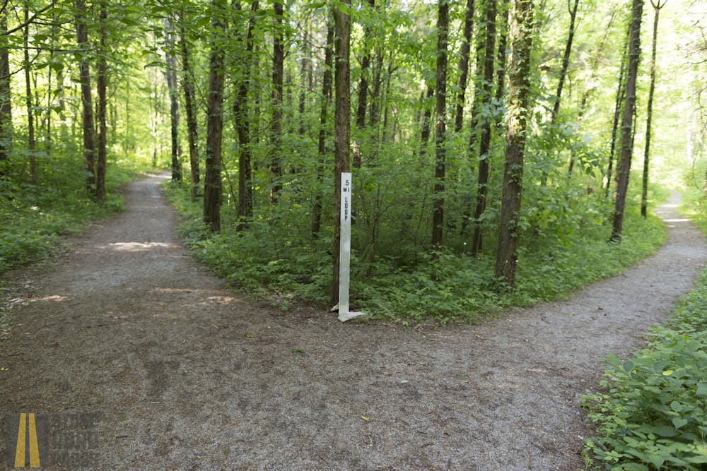
5 routes · Hiking

63 routes · Alpine Climbing · Hiking