Heritage Trail to Sunset Point
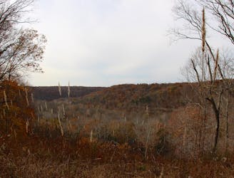
A fully-accessible path to a spectacular overlook of the Green River.
Easy Hiking
- Distance
- 1.2 km
- Ascent
- 21 m
- Descent
- 21 m
A short hike to a spring where water emerges from an underground cave.
Hiking Easy

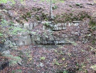
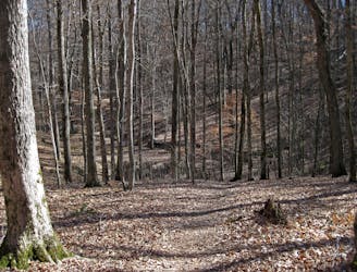
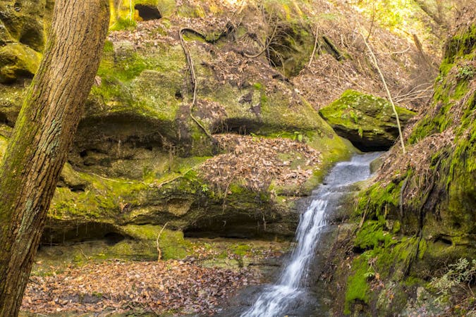
River Styx Spring Trail offers hikers a close-up view of an interesting phenomenon where groundwater emerges from a cave before flowing into the Green River. Many would consider it one of the top hikes from the visitor, often pairing it with other classics like Dixon Cave or Sunset Point. Adjacent to the cave, you can also snag some views of the Green River below.
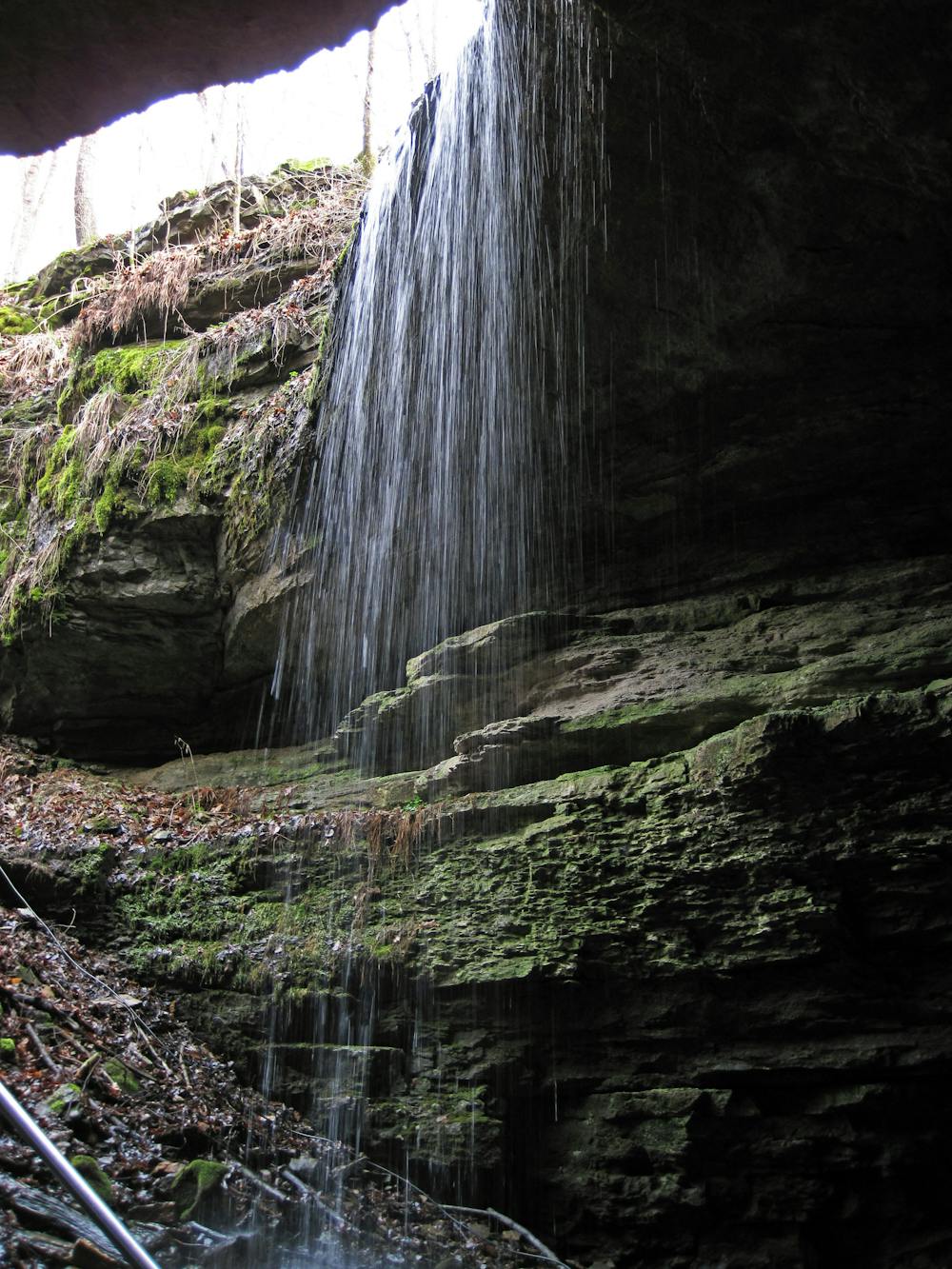
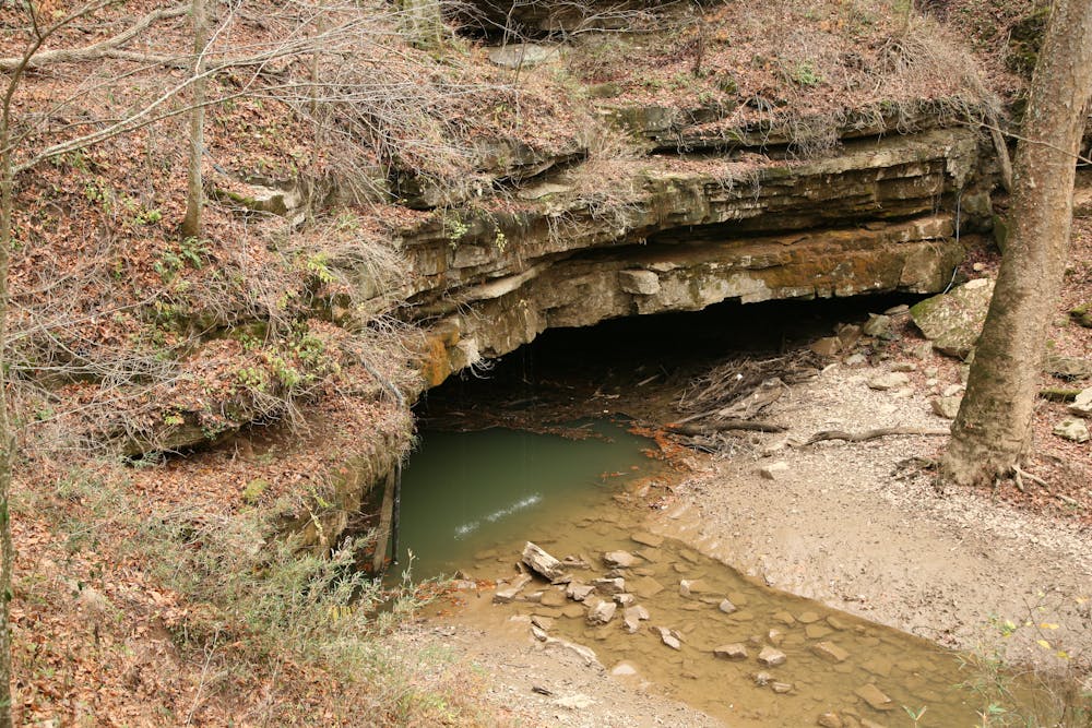
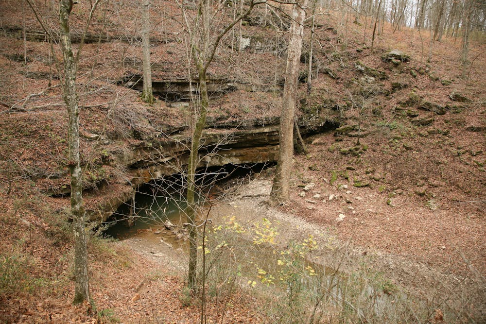
As with other nearby hikes, River Styx is a great way to kill some time while waiting on a scheduled cave tour to depart. While it is open year-round, many visitors take note of the stunning spring wildflowers and fall foliage that make the hike even more spectacular.
Parking is available near the visitor center and hotel, and water and restrooms both available nearby. For those seeking a fully-accessible hike with commanding views of the Green River Valley, consider Sunset Point instead.
Easy
Walking along a well-kept trail that’s mostly flat. No obstacles are present.

The trail contains some obstacles such as outcroppings and rock which could cause injury.

Close to help in case of emergency.
A fully-accessible path to a spectacular overlook of the Green River.
Easy Hiking
A short hike to a view of a collapsed cave entrance.
Easy Hiking
A looped hike with smaller caves, sinkholes, and vibrant scenery.
Moderate Hiking
6.3 km away
A short 1.5-mile hike to a sinkhole about 10 minutes from the visitor center.
Moderate Hiking
5 routes · Hiking

63 routes · Alpine Climbing · Hiking