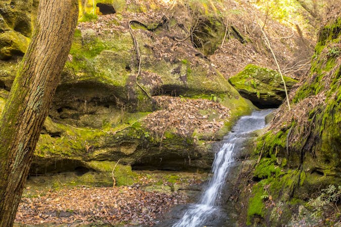
Dixon Cave
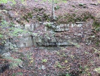
A short hike to a view of a collapsed cave entrance.
Easy Hiking
- Distance
- 1.4 km
- Ascent
- 44 m
- Descent
- 44 m
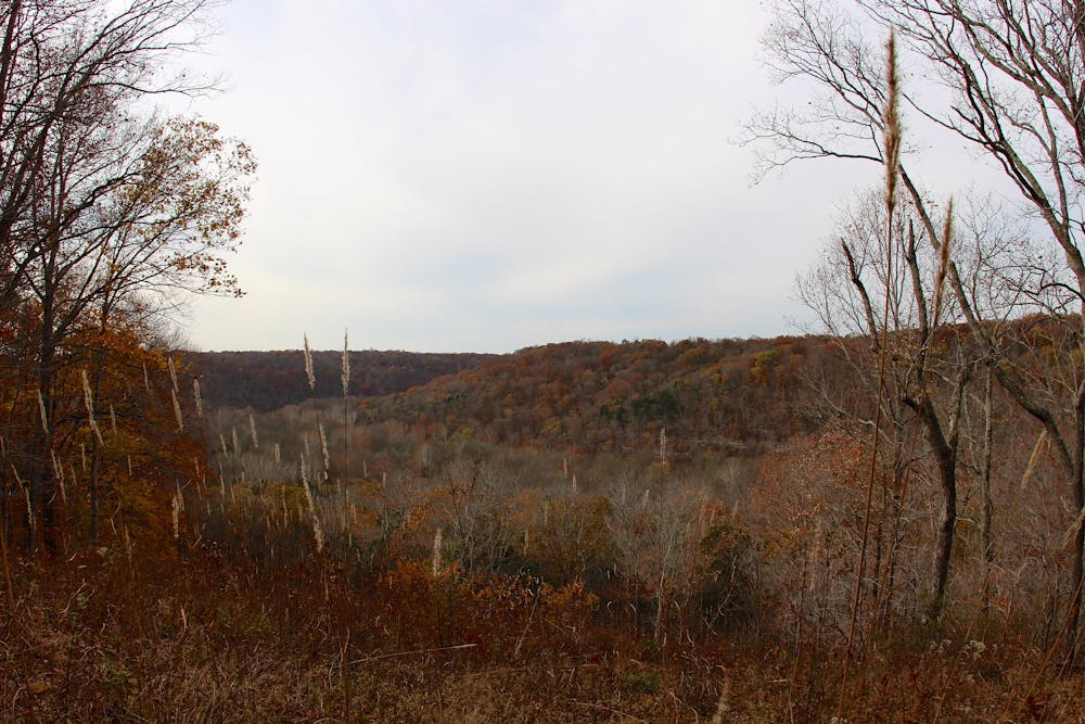
A fully-accessible path to a spectacular overlook of the Green River.
Hiking Easy

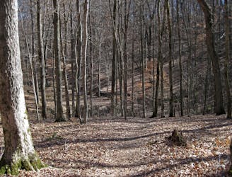
The Heritage Trail is a short and fully-accessible path to a stunning overlook of the Green River Valley. Aptly nicknamed "Sunset Point" due to its western-facing vantage, it's the perfect hike for the entire family to enjoy together. Stretch your legs after a long drive, or pass time between cave tours—this hike averages less than one-hour and is your free ticket to some of the best above-ground views in Mammoth Cave NP.
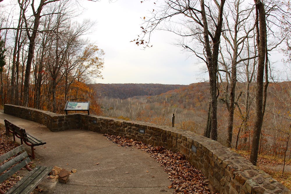
Most of this hike follows a wooden walkway or paved path averaging 6' wide. Benches are available along the way, and railings are provided to negotiate the gentle slopes. As such, the park considers it "appropriate for all visitors and all ranges of mobility." Leashed and well-behaved pets are also welcome to join.
As mapped, begin your hike between the visitor center and lodge. Water and restrooms are available, and there is ample parking for larger vehicles or RV's. According to the park, accessible parking can be found "alongside the Lodge at Mammoth Cave, within 100 yards from the trail."
Sources: https://www.nps.gov/thingstodo/heritage-trail.htm https://en.wikipedia.org/wiki/Karst
Easy
Walking along a well-kept trail that’s mostly flat. No obstacles are present.

The path is on completely flat land and potential injury is limited to falling over.
Close to help in case of emergency.
A short hike to a view of a collapsed cave entrance.
Easy Hiking
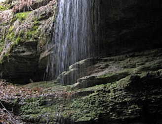
A short hike to a spring where water emerges from an underground cave.
Easy Hiking
A looped hike with smaller caves, sinkholes, and vibrant scenery.
Moderate Hiking
6.3 km away
A short 1.5-mile hike to a sinkhole about 10 minutes from the visitor center.
Moderate Hiking
5 routes · Hiking

63 routes · Alpine Climbing · Hiking