9 m away
Appalachian Trail: Grafton Notch to Rumford Road
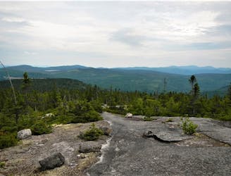
A stretch of the AT through Maine known for its summit of Baldpate and Bemis Mountains.
Difficult Hiking
- Distance
- 48 km
- Ascent
- 3.6 km
- Descent
- 3.3 km
Iron rungs and cables make this a fun (steep) hike!
Hiking Moderate

This is a popular hiking route which is generally considered to be moderate. It's remote, it features high exposure and is typically done between May and November. From a low point of 461 m to the maximum altitude of 784 m, the route covers 3.5 km, 332 vertical metres of ascent and 332 vertical metres of descent.
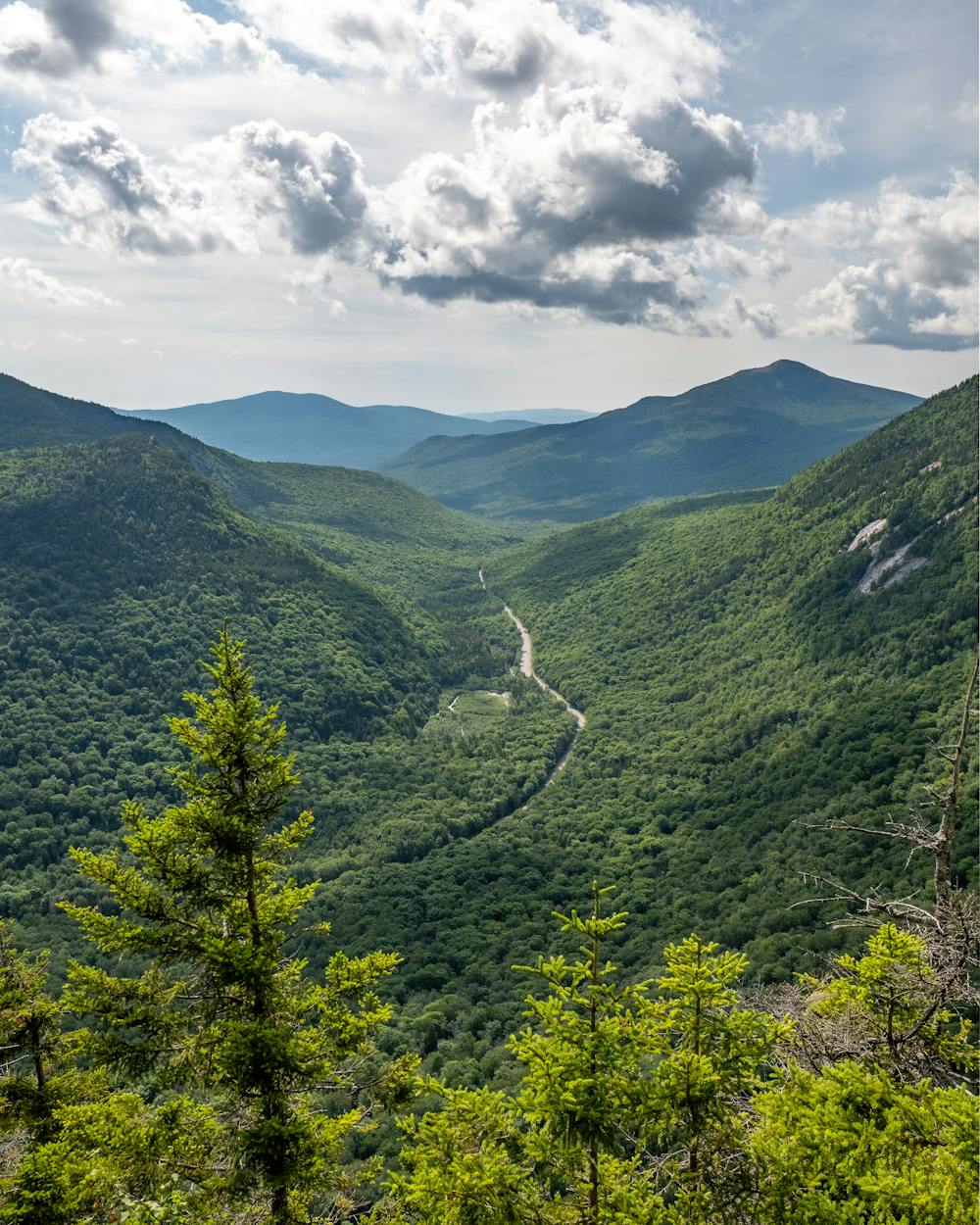
At about 2.5 miles round trip with 1,100 feet elevation gain, its not a long hike, but its quite steep. The highlight is the section where you can hang onto a long cable to assist in your ascent. Great views of Grafton Notch from the top.
Moderate
Hiking along trails with some uneven terrain and small hills. Small rocks and roots may be present.

Some trail sections have exposed ledges or steep ascents/descents where falling could cause serious injury.

Away from help but easily accessed.
9 m away
A stretch of the AT through Maine known for its summit of Baldpate and Bemis Mountains.
Difficult Hiking

58 routes · Hiking