6.1 km away
Blue Hills Skyline Trail: Out-and-Back

Quite a challenging hike for the outskirts of Boston!
Severe Hiking
- Distance
- 25 km
- Ascent
- 1.1 km
- Descent
- 1.1 km
Harvest River Bridge to Adams Park
Hiking Moderate

This is the start of a lovely and unique journey through the heart of Boston city centre. Much of this section of the Boston Walking City Trail is on sidewalks, and even the sections of trail are easy and well-maintained, making it a straightforward hike overall.
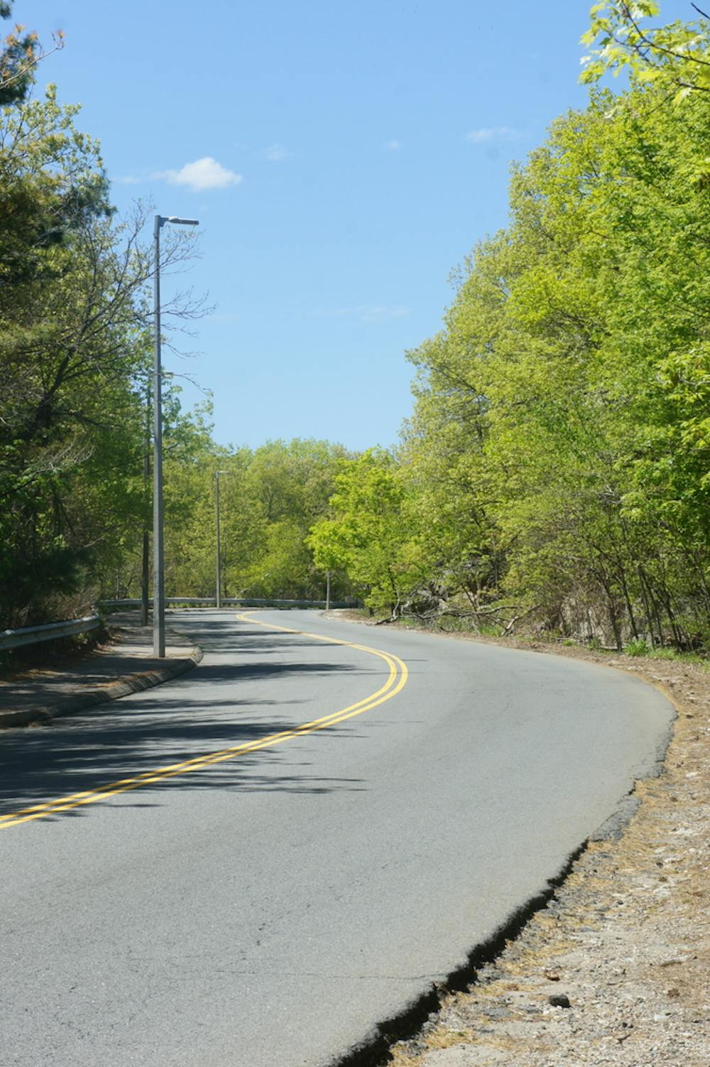
The hike begins on the wooden planks of the Harvest River Bridge and the trail then winds through suburbia before reaching Sherrin Woods, just to the north of Hyde Park. After passing through Hyde Park, one of the more tranquil sections of the whole trail awaits as you cross Stony Brook Reservation. There are some great views towards Boston city centre from Bearberry Hill (in the heart of Stony Brook Reservation) and it's fun to glimpse where you're heading over the next few days.
From Bearberry Hill, drop down onto Washington Street and stroll easily into Roslindale Village, where you can either stay for the night or get into the Boston public transit system.
Sources -
Moderate
Hiking along trails with some uneven terrain and small hills. Small rocks and roots may be present.

The path is on completely flat land and potential injury is limited to falling over.
Close to help in case of emergency.
6.1 km away
Quite a challenging hike for the outskirts of Boston!
Severe Hiking