127 m away
Mount Franklin
A rugged day hike or overnight trip to a spectacular overlook on Greenstone Ridge.
Difficult Hiking
- Distance
- 15 km
- Ascent
- 249 m
- Descent
- 249 m
Wander through beautiful forests and along rocky shorelines connecting Rock Harbor to Scoville Point.
Hiking Easy

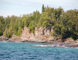
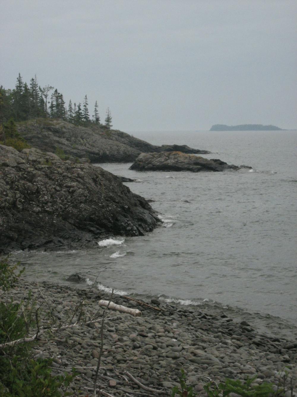
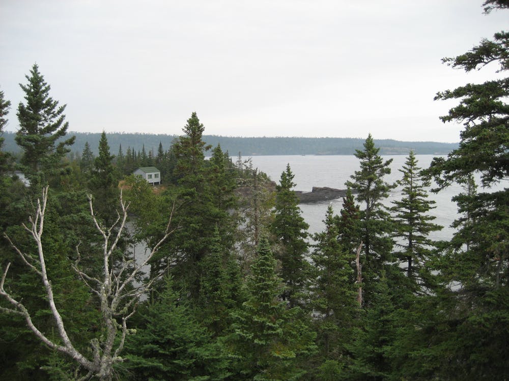
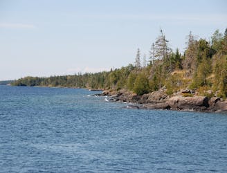
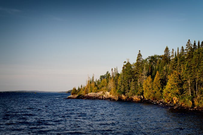
Beginning in Rock Harbor, the Stoll Trail wanders through dense forests and along rocky coastlines bound for a spectacular overlook at Scoville Point. With expansive views to the south and east, "it's a beautiful spot where you can sit on the rock bluffs, soak in the sun, and watch the boaters and kayakers pass through on their way to Rock Harbor," according to this source.
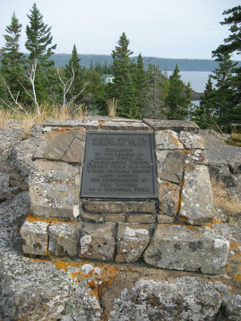
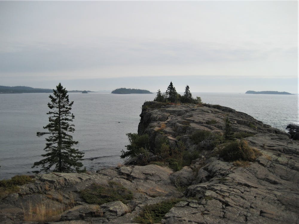
Named and dedicated after a conservation writer for the Detroit News in the early 20th century, this is one of the classic day hikes from Rock Harbor, the park's northeastern hub. With others including Suzy's Cave and Mount Franklin, Rock Harbor offers some of the most diverse day trip opportunities anywhere in the park. In fact, thanks to the abundance of trail, many visitors center their trip around the comforts offered at Rock Harbor Lodge, while others seek solitude at remote backcountry campsites.
"A mix of craggy rock shoreline, juniper bushes, and a few scraggly pines," this easy hike is just over 4 miles total and a great hike for anyone in the family. Pets, however, are not permitted anywhere in the park due to concerns "for the protection of wildlife species," according to the NPS.
Easy
Walking along a well-kept trail that’s mostly flat. No obstacles are present.

The path is on completely flat land and potential injury is limited to falling over.

Away from help but easily accessed.
127 m away
A rugged day hike or overnight trip to a spectacular overlook on Greenstone Ridge.
Difficult Hiking
127 m away
A classic day hike from Rock Harbor leading to "a wave-washed cliff and an inland sea arch, both formed by wave action some 4000 years ago when the lake water levels were higher."
Moderate Hiking
1.7 km away
A short hike including Monument Rock and Lookout Louise, a spectacular overlook along the edge of a bluff.
Moderate Hiking
9 routes · Hiking