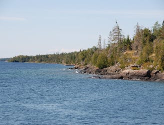
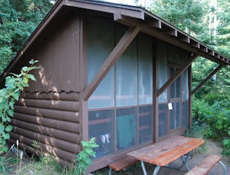
Stoll Trail
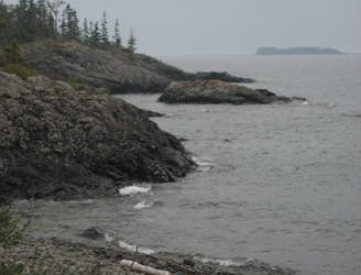
Wander through beautiful forests and along rocky shorelines connecting Rock Harbor to Scoville Point.
Easy Hiking
- Distance
- 6.9 km
- Ascent
- 57 m
- Descent
- 57 m
Experience epic views along the ridgelines, wander through secluded wetlands and around ponds, and learn about ancient copper mines on a hike at one of America’s most remote national parks: Isle Royale.
Hiking Easy, Moderate, Difficult
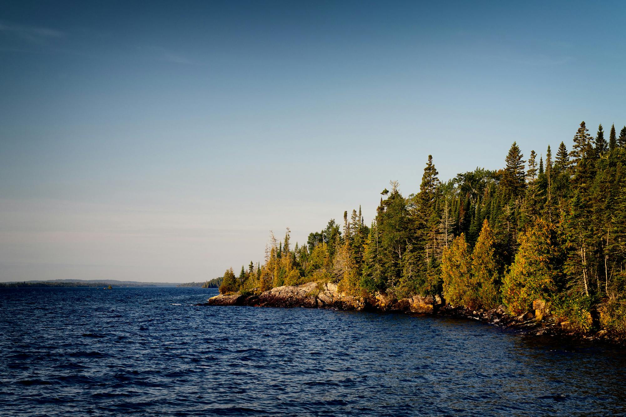
Accessible only by private boat or ferry, Isle Royale is one of America’s most remote national parks. A designated Wilderness Area north of Copper Harbor in Lake Superior, the park and its 400+ islands are defined by forested wetlands, swamps, bogs, and rivers—the perfect habitat to view moose in the wild. From challenging backcountry trails to an interpretive walk around Windigo, this guidebook highlights nine hikes to top your list during your visit to Isle Royale National Park.
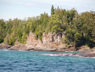
Isle Royale has two visitor centers on the main island, plus another in Houghton. While Windigo hosts both the Huginnin Cove Loop and Nature Trail, Rock Harbor is the better hub for hiking. For starters, you can hike along rocky shorelines and watch boats enter the harbor from Scoville Point on the Stoll Trail, or make your way along Tobin Harbor to Suzy’s Cave to view an inland sea arch carved by waves some 4000 years ago. Whatever you decide, pair your visit with a stay at the Rock Harbor Lodge & Marina where you can rent kayaks, canoes, motorboats, or book a tour with a local guide.
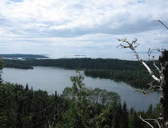
Across the bay, you can pair a short paddle with a hike to an overlook nicknamed Lookout Louise, or venture further southwest down the island to Daisy Farm, the park's largest campground. After a good night's rest, start the next day with a hike to the lookout tower on Mount Ojibway. Passing through heavily forested wetlands and along ponds, you may even see moose along this hike!
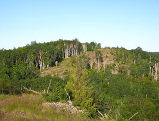
For anyone seeking an epic multi-day trip, Isle Royale is home to two spectacular long trails: Greenstone Ridge and Minong Ridge. Connecting the park’s two visitor centers by way of a long ridgeline, Greenstone is acclaimed as “the state’s best long-distance trail," and an adventure that every backpacker should at least experience once, according to this local guide.
Shadowing Greenstone to the north, Minong Ridge travels rugged backcountry with limited blazes and trail improvements, with nothing more than rock cairns marking long stretches. Though Minong is only 26 miles compared to the 40+ mile Greenstone, either hike could take between 3 and 5 days based on experience.
Source: Michigan Trail Maps Wikipedia
Wander through beautiful forests and along rocky shorelines connecting Rock Harbor to Scoville Point.
Easy Hiking

A short interpretive trail where you can learn about "everything from lichens and moose droppings to island geology and succession."
Easy Hiking
A short hike including Monument Rock and Lookout Louise, a spectacular overlook along the edge of a bluff.
Moderate Hiking
A rugged day hike or overnight trip to a spectacular overlook on Greenstone Ridge.
Difficult Hiking
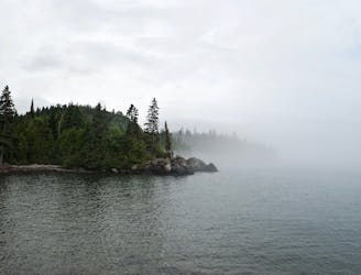
A classic day hike from Rock Harbor leading to "a wave-washed cliff and an inland sea arch, both formed by wave action some 4000 years ago when the lake water levels were higher."
Moderate Hiking
A 40+ mile ridgeline trek across the mountainous backbone of Isle Royal National Park.
Difficult Hiking
A rugged and wild backcountry trail with exposed ridgetops and rock cairns guiding the way.
Difficult Hiking
Hike through secluded wetlands, camp along the lake, and watch moose in the wild!
Moderate Hiking
A staple day hike from Daisy Farm Campground to the lookout tower on Mount Ojibway.
Moderate Hiking

63 routes · Alpine Climbing · Hiking