Mount Franklin
A rugged day hike or overnight trip to a spectacular overlook on Greenstone Ridge.
Difficult Hiking
- Distance
- 15 km
- Ascent
- 249 m
- Descent
- 249 m
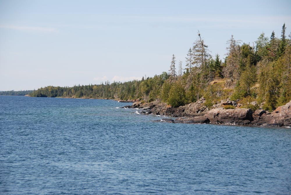
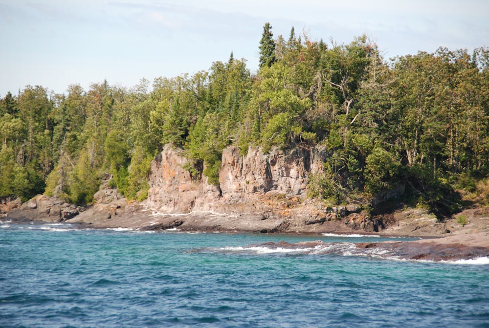
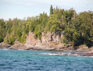
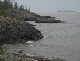
A classic day hike from Rock Harbor leading to "a wave-washed cliff and an inland sea arch, both formed by wave action some 4000 years ago when the lake water levels were higher."
Hiking Moderate

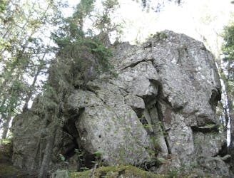
An inland sea arch carved by the crashing waves of Lake Superior, Suzy's Cave is one of the top destinations for a day hike from Rock Harbor. Formed "some 4000 years ago when water levels were higher," this classic hike in Isle Royal NP doubles as a shorter version of the difficult 10-mile trek to Mount Franklin.
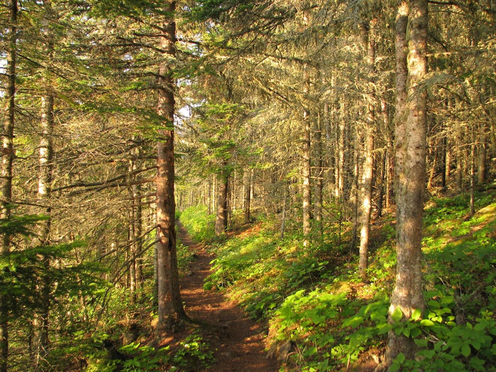
The cave can be accessed via Tobin Harbor Trail or Rock Harbor Trail. A spur trail between the two offers access to view the cave. While "Rock Harbor Trail is difficult and includes rocks and roots," the park suggests that Tobin Harbor Trail is both easier and "significantly smoother." Seen here, this loop pairs both, giving you the option to hike either trail in either direction.
For those seeking a longer day hike or even an overnight trip, make your way to Mount Franklin instead. Suzy's Cave can be easily incorporated into the route, and overnight camping is available at Three Mile Campground.
Moderate
Hiking along trails with some uneven terrain and small hills. Small rocks and roots may be present.

The trail contains some obstacles such as outcroppings and rock which could cause injury.
Away from help but easily accessed.
A rugged day hike or overnight trip to a spectacular overlook on Greenstone Ridge.
Difficult Hiking
127 m away
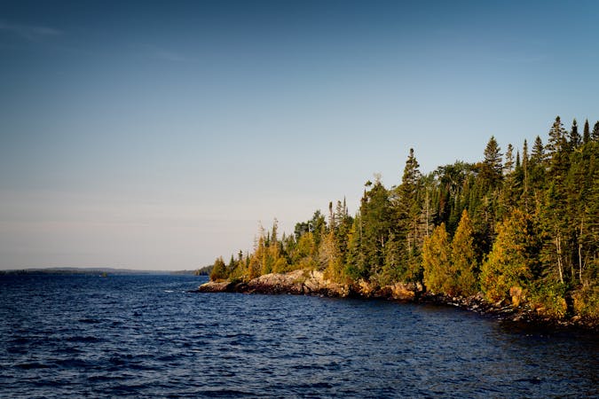
Wander through beautiful forests and along rocky shorelines connecting Rock Harbor to Scoville Point.
Easy Hiking
1.8 km away
A short hike including Monument Rock and Lookout Louise, a spectacular overlook along the edge of a bluff.
Moderate Hiking
9 routes · Hiking