1.1 km away
Kab-Ash Trail Point-to-Point
A long walk through the remote backcountry of Voyageurs, with huge trees and abundant wildlife in seemingly endless woods.
Moderate Hiking
- Distance
- 27 km
- Ascent
- 405 m
- Descent
- 387 m
A stroll through the woods to overlooks and points along the lakeshore, with gentle hills and rocky sections for more variety.
Hiking Moderate

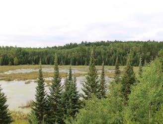
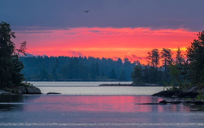
Blind Ash Bay is one of the trails in Voyageurs that can be reached without a boat, and it makes a perfect introduction to the environment of the national park. On this wooded trail, you’ll walk beneath tall, straight pines typical of the boreal forest, and among lush green understory. You’ll also see wetland areas and find views over the reed-lined edges of the lake. At elevated viewpoints, you can see across the water to islands and the opposite shore.
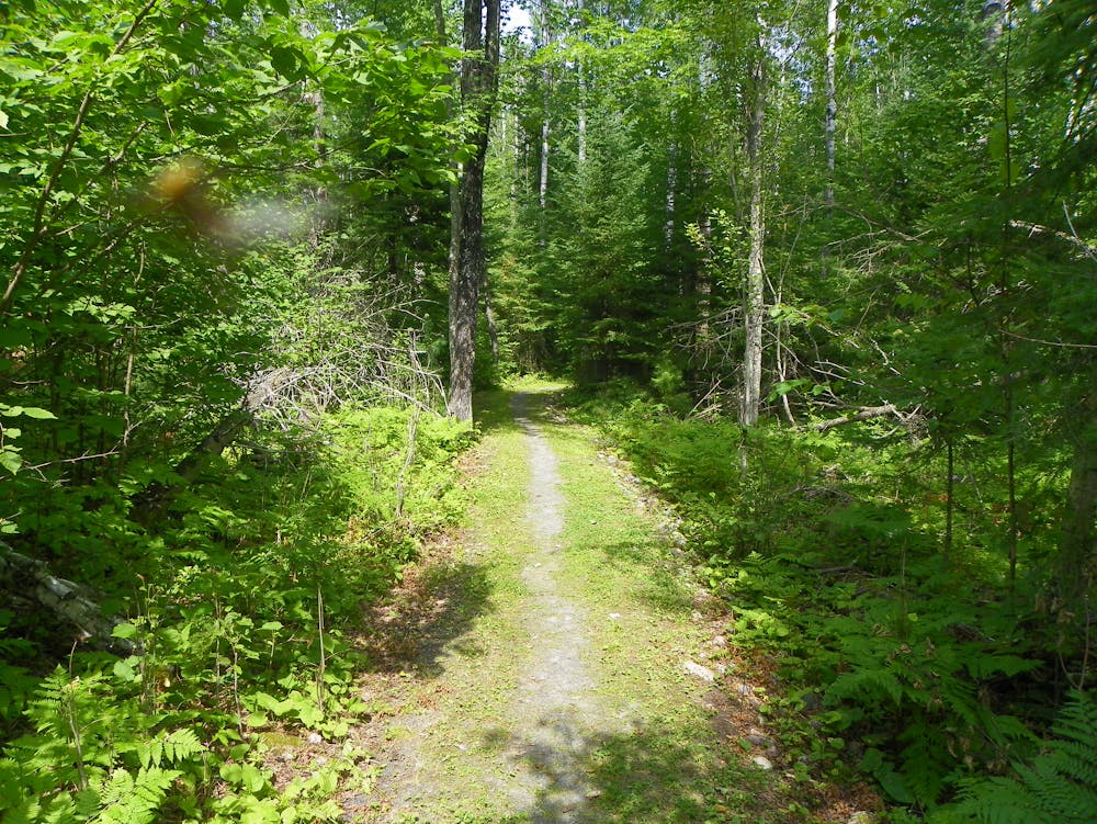
The path is hilly and rocky in places, with enough variety to keep things interesting even though it stays mostly in the woods. Keep an eye out for deer and other wildlife, and for wild berries, which you are allowed to pick and eat (But note that collecting anything else like wildflowers or fungi is prohibited). This trail is open year-round, even though the nearby Ash River Visitor Center is only open in summer. Snowshoes or other traction may be useful in winter.
Source: https://www.nps.gov/voya/planyourvisit/hiking-trails.htm
Moderate
Hiking along trails with some uneven terrain and small hills. Small rocks and roots may be present.

The trail contains some obstacles such as outcroppings and rock which could cause injury.

Close to help in case of emergency.
1.1 km away
A long walk through the remote backcountry of Voyageurs, with huge trees and abundant wildlife in seemingly endless woods.
Moderate Hiking
4.3 km away

A rugged trail crossing the Kabetogama Peninsula, with backcountry campsites at secluded interior lakes.
Difficult Hiking
5 routes · Hiking

63 routes · Alpine Climbing · Hiking