4.3 km away
Blind Ash Bay Trail

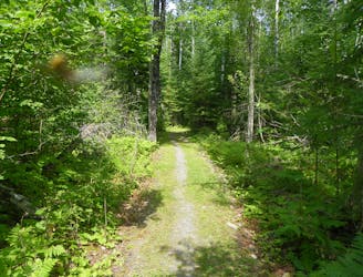
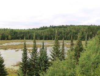
A stroll through the woods to overlooks and points along the lakeshore, with gentle hills and rocky sections for more variety.
Moderate Hiking
- Distance
- 4.9 km
- Ascent
- 118 m
- Descent
- 118 m

A rugged trail crossing the Kabetogama Peninsula, with backcountry campsites at secluded interior lakes.
Hiking Difficult

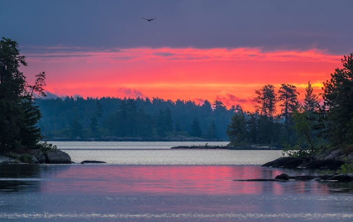
This trail covers some of the wildest backcountry terrain in Voyageurs National Park. It’s a footpath across the Kabetogama Peninsula, from one large lake to another, over glacial ridges that ripple the landscape, and through the thick woods that cover them. Interior lakes along the way are cold and clear, irresistible for swimming on a hot day, and tantalizing for fishermen. Large wildlife roams this territory, and attentive campers might spot a moose or hear the call of wolves.
The trail is accessible from either end, but only by boat. A water taxi service is available to reach the southern end at Lost Bay, or with your own boat you could reach either trailhead. Once dropped off at the trailhead dock, you’ll be completely on your own until your pickup time, whether that be hours or days. An out and back to Cruiser Lake makes a good day hike, but backpacking is the best way to enjoy the solitude of the peninsula. Lakeside backcountry campsites are comfortably equipped with tent pads, fire rings, and bear-hang poles.
The main Cruiser Lake Trail is what’s mapped here, as an out and back from Lost Bay to Anderson Bay, but connecting trails allow for creative variations and lesser-visited campsites for backpackers. Trails on the peninsula are deceptively strenuous, with sharp inclines and declines on the rock ridges, plus lengths of bare rock where the trail is hard to discern. In the valleys between are marshy areas where mud is often an issue, though boardwalks cross the wettest sections. Most trails are cairned, but some sections can still be hard to follow.
Hiking and camping on the peninsula require gearing up for the varied terrain and potentially wet weather, as well as preparation for bug protection and food storage. Review the park’s backcountry guidelines to help plan your trip, and use Recreation.gov for reservations.
Sources: https://www.nps.gov/voya/planyourvisit/hiking-trails.htm https://blog.visitcranelake.com/cruiser-lake-trail/
Difficult
Hiking trails where obstacles such as rocks or roots are prevalent. Some obstacles can require care to step over or around. At times, the trail can be worn and eroded. The grade of the trail is generally quite steep, and can often lead to strenuous hiking.
4.3 km away

A stroll through the woods to overlooks and points along the lakeshore, with gentle hills and rocky sections for more variety.
Moderate Hiking
5.2 km away

A long walk through the remote backcountry of Voyageurs, with huge trees and abundant wildlife in seemingly endless woods.
Moderate Hiking

5 routes · Hiking

63 routes · Alpine Climbing · Hiking