5 m away
Locator Lake Trail

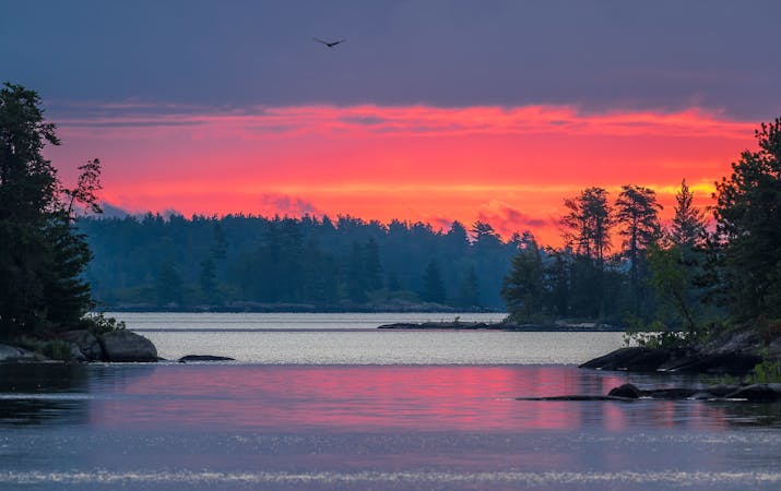
Paddle or motor across Kabetogama Lake, then find this remote trail leading to a smaller lake hidden in the forest.
Moderate Hiking
- Distance
- 6.3 km
- Ascent
- 126 m
- Descent
- 126 m
Hiking and canoeing route deep in the Voyageurs backcountry, with lakeside campsites that guarantee solitude.
Hiking Moderate

The Kabetogama Peninsula makes most of the land area of Voyageurs National Park, but no roads lead there. It’s only accessible by crossing one of three large lakes that surround it. Once on the peninsula, hiking is the way to get around, on trails that wind among rock ridges and marshy valleys covered in forest. But there are more lakes as well. Interior lakes of the peninsula provide one more way to explore, and that’s by canoe.
The Chain of Lakes are four lakes in a row, each with a backcountry campsite on the shoreline. If you can reserve and reach one of these sites, you are all but guaranteed days of utter solitude deep in the backcountry. The Park Service provides canoes for crossing the lakes, which must be reserved along with a campsite (personal boats, like packrafts, are not allowed in the backcountry). You’ll hike to the first lake to unlock your canoe, then paddle to your camp. Reaching the third and fourth lakes also requires portaging rough trails. It’s a true northwoods wilderness experience, yet the campsites are well-equipped and comfortable despite their remoteness.
The journey begins at either Kabetogama Visitor Center or Woodenfrog Campground, where you’ll take a boat across Kabetogama Lake. You can charter a ride, rent a boat, or use your own craft to paddle or motor across the lake. The route mapped here begins from the Locator Lake trailhead dock. The footpath leads through varied forest and rocky terrain on the way to the first in the Chain of Lakes. There you’ll unlock your canoe and be able to continue across the water.
Locator Lake connects to War Club Lake by a clear channel, but continuing past this second lake requires portaging. The general paths of the portages are shown by the mapped track, but these are not exact. Portage routes vary with season and water level, so expect to do some searching to find the ideal place.
Each of the four lakes has its own campsite. Locations are approximately indicated by the mapped track where it meets the shore. Each campsite has tent pads, benches, fire ring, bear-hang, and a toilet. All the sites are set idyllically among forest and water, but the site on Quill Lake is exceptional for being on an island. You must choose and reserve a campsite and canoe ahead of time using Recreation.gov, and you should also review guidelines on the park’s backcountry camping and canoe rentals page to help plan. This trip is best in late summer, when humidity and bugs begin to subside. Fall brings harsher weather but also brilliant foliage, and permits may be easier to get in the late season.
Sources: https://www.nps.gov/voya/planyourvisit/backcountry-tent-camping-and-canoe-rentals.htm http://thriftytripster.com/voyageurs-national-park-private-island-camping/
Moderate
Hiking along trails with some uneven terrain and small hills. Small rocks and roots may be present.

The trail contains some obstacles such as outcroppings and rock which could cause injury.

Little chance of being seen or helped in case of an accident.
5 m away
Paddle or motor across Kabetogama Lake, then find this remote trail leading to a smaller lake hidden in the forest.
Moderate Hiking
5 routes · Hiking