139 m away
Alimony

Protected snow in spaced trees
Difficult Freeride Skiing
- Distance
- 175 m
- Ascent
- 0 m
- Descent
- 58 m
Fun chutes just out of bounds
Freeride Skiing Difficult

This is a popular freeride skiing route which is generally considered to be difficult. It's not remote, it features high exposure (e3) and is typically done between December and May. From a low point of 2.3 km to the maximum altitude of 2.4 km, the route covers 217 m, 86 vertical metres of ascent and 73 vertical metres of descent.
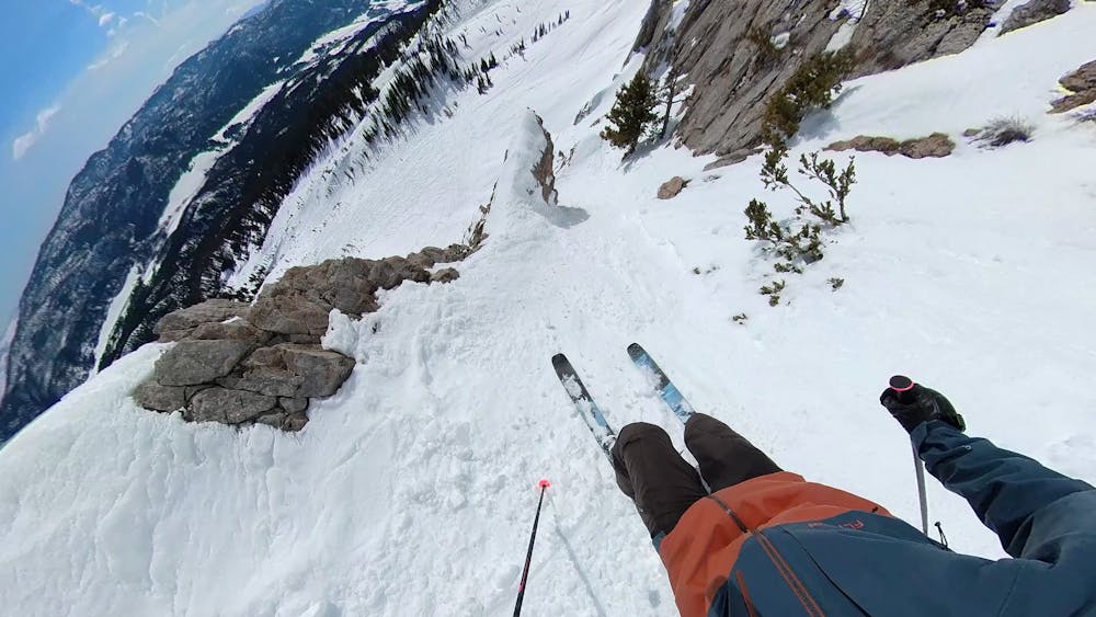
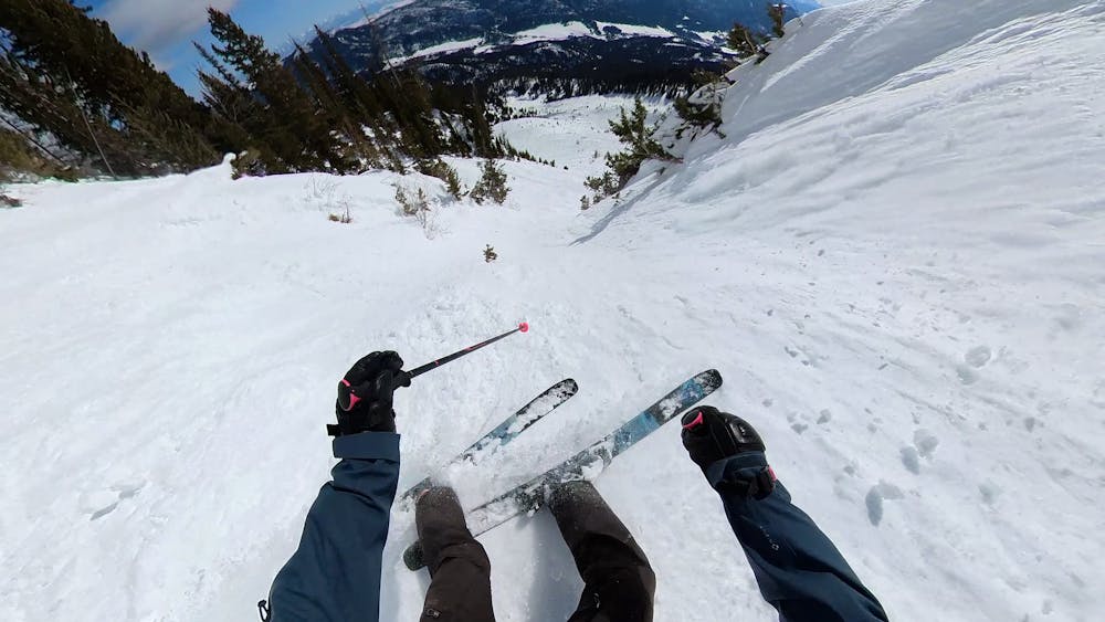
Not an official line, but there are some fun chutes here just to the side of the big cliff and just out of bounds. Halfway down there is an option to go left into the easier chute, or go right where there are a couple gnarlier options.
Difficult
Serious gradient of 30-38 degrees where a real risk of slipping exists.

In case of a fall, death is highly likely.

Close to help in case of emergency.
139 m away
Protected snow in spaced trees
Difficult Freeride Skiing
213 m away

Steep, quick trees
Difficult Freeride Skiing
241 m away

Steep, rocky, tree area
Severe Freeride Skiing
259 m away

Large open chute
Difficult Freeride Skiing
284 m away

Mellow skiing through gullys
Moderate Freeride Skiing
347 m away

Wide, steep face down into Mundy's
Difficult Freeride Skiing
351 m away

Wide open tree chute
Difficult Freeride Skiing
404 m away

Wide open moderately steep bowl
Difficult Freeride Skiing
416 m away

Open chute that leads down to the Bitter End
Difficult Freeride Skiing
425 m away

Steep hanging chutes
Severe Freeride Skiing