37 m away
Mundy's Bowl North

Wide open skiing
Difficult Freeride Skiing
- Distance
- 263 m
- Ascent
- 0 m
- Descent
- 169 m
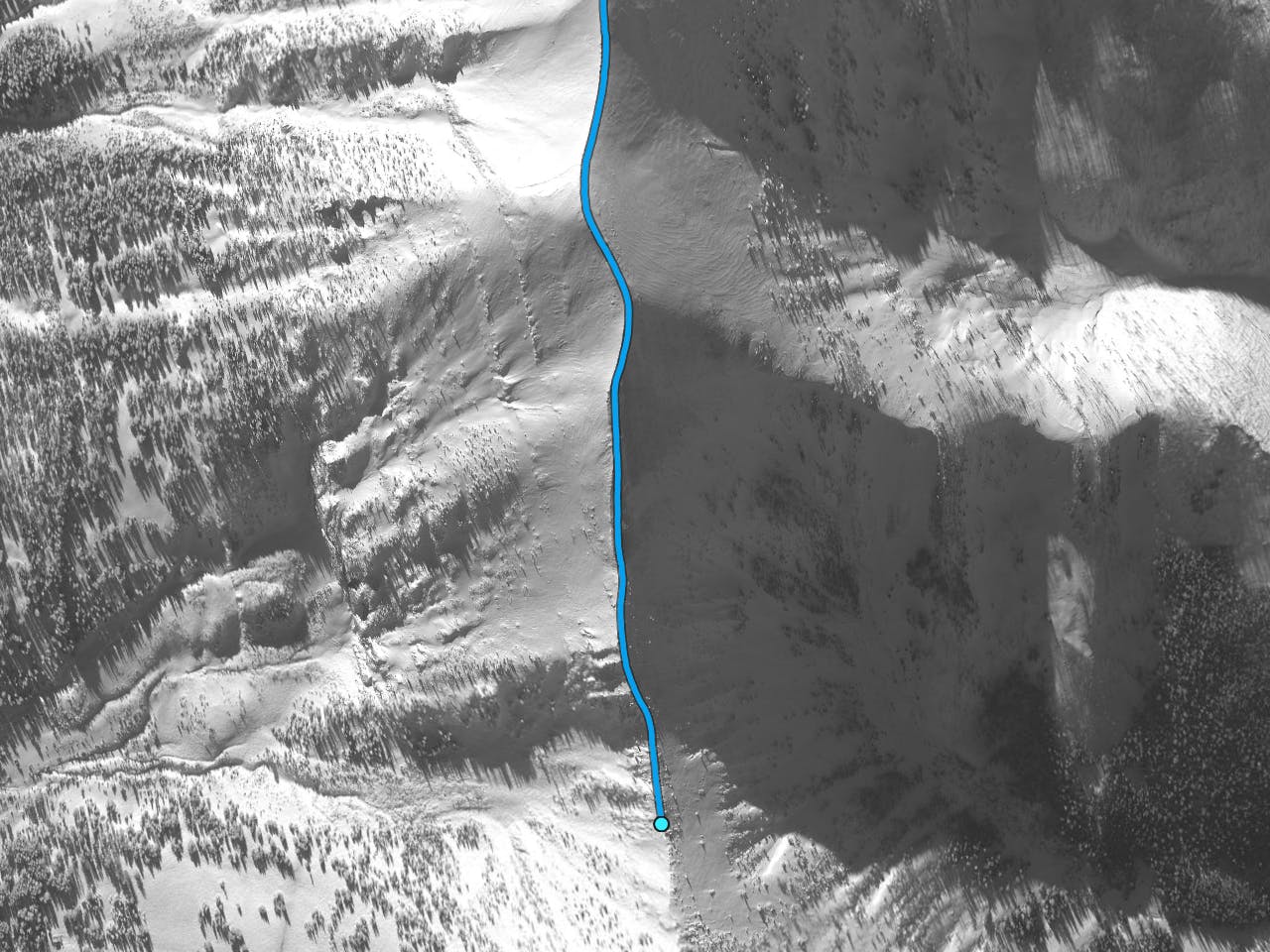
Bootpack up to Saddle Peak.
Freeride Skiing Difficult
This is a popular freeride skiing route which is generally considered to be difficult. It's not remote, it features medium exposure (e2) and is typically done between January and April. From a low point of 2.6 km to the maximum altitude of 2.8 km, the route covers 1 km, 193 vertical metres of ascent and 15 vertical metres of descent. You'll need skins and crampons to complete it safely.
This bootpack starts inbounds and after you pass the Bathtub it exits the ski area boundary. This bootpack is used to access countless chutes and bowls. Just over 550 ft of vertical.
Difficult
Serious gradient of 30-38 degrees where a real risk of slipping exists.

As well as the slope itself, there are some obstacles (such as rock outcrops) which could aggravate injury.

Close to help in case of emergency.
37 m away
Wide open skiing
Difficult Freeride Skiing
41 m away

Steep technical rocky spine
Severe Freeride Skiing
117 m away

Steep, wide, short chute
Difficult Freeride Skiing
123 m away

Wide open moderately steep bowl
Difficult Freeride Skiing
157 m away

Large, gnarly, double drop
Severe Freeride Skiing
189 m away

Steep, rocky, exposed, gnar zone
Severe Freeride Skiing
190 m away

Steep hanging chutes
Severe Freeride Skiing
235 m away

Open chute that leads down to the Bitter End
Difficult Freeride Skiing
247 m away

Wide, steep face down into Mundy's
Difficult Freeride Skiing
247 m away

Mellow skiing through gullys
Moderate Freeride Skiing