1.1 km away
Natural Arches Trail

An easy hike up a sandy wash past beautiful natural arches.
Easy Hiking
- Distance
- 4.7 km
- Ascent
- 27 m
- Descent
- 27 m
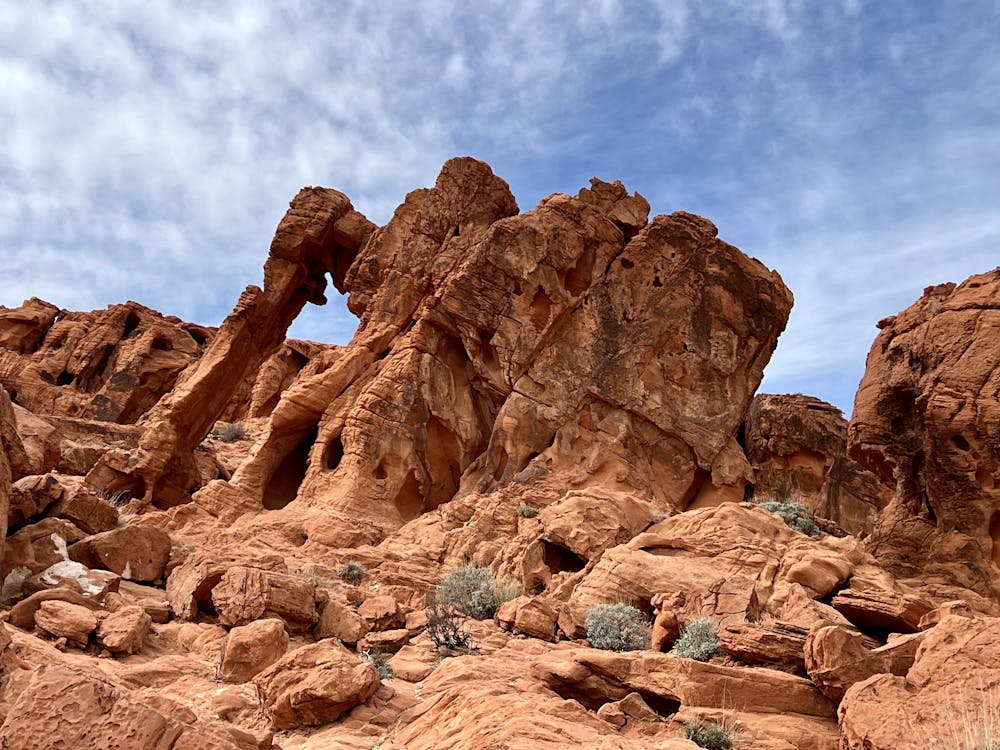
One of the most visited rock formations in the Valley of Fire.
Hiking Moderate

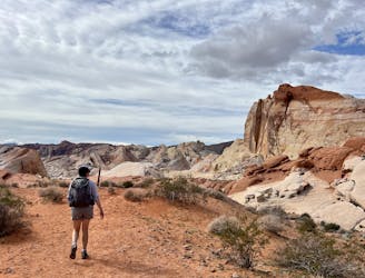
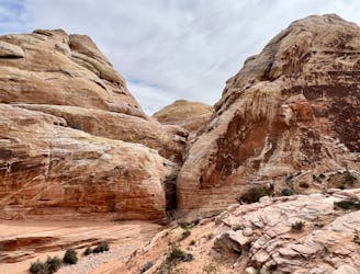
Elephant Rock is one of the most visited rock formations in Valley of Fire State Park, as it is located directly adjacent to one of the main entrance stations. Many visitors pay their entry fee and promptly pull into the parking lot to check out this visually stunning arch resembling an elephant.
While you can simply hike up to the arch and snap your photo, the route mapped here forms a mellow loop that runs past the arch, along the road, and then deeper into the hills. While the section of trail to the arch itself is highly-trafficked, you may very well have the rest of the loop all to yourself.
The trail itself is sandy and rocky but not very difficult to negotiate. One portion on the southwestern corner may be faint and difficult to navigate, but if you use this map as a reference, you'll be able to continue following the route as mapped.
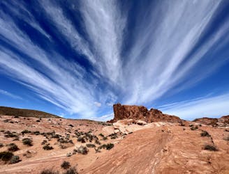
As you turn back east on the northern section of the loop, you'll have to climb a small rise to make your way back up and over the ridge. Depending on your perspective, this rocky climb up the side of the ridge might exceed the "Moderate" FATMAP difficulty rating, but not by much. The descent down the opposite side is even mellower and will allow you to enjoy the spectacular views of sandstone formations in the distance and small arches and windows next to the trail.
Moderate
Hiking along trails with some uneven terrain and small hills. Small rocks and roots may be present.

The path is on completely flat land and potential injury is limited to falling over.
Close to help in case of emergency.
1.1 km away
An easy hike up a sandy wash past beautiful natural arches.
Easy Hiking
5.4 km away

A short, easy hike to an incredible petroglyph panel and natural water tank.
Easy Hiking
5.7 km away

An easy hike to a spectacular overlook.
Easy Hiking
7.4 km away
The longest and most remote trail in Valley of Fire State Park.
Difficult Hiking
9.1 km away

The most famous hike in the Valley of Fire.
Easy Hiking
9.2 km away
A fantastic tour through one of the most spectacular spots in the Valley of Fire.
Moderate Hiking
9.2 km away
Visit the most impressive rock formations in the Valley of Fire.
Difficult Hiking
9.2 km away
A high-value loop combining many of the best trails in the park.
Difficult Hiking
9 routes · Hiking