2 m away
Mustang Loop
A flowy beginner-friendly loop through a beautiful section of the desert.
Easy Mountain Biking
- Distance
- 6.1 km
- Ascent
- 115 m
- Descent
- 116 m
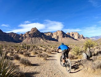
A beautiful, smooth XC pedal deep in the hills.
Mountain Biking Moderate

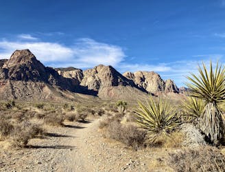
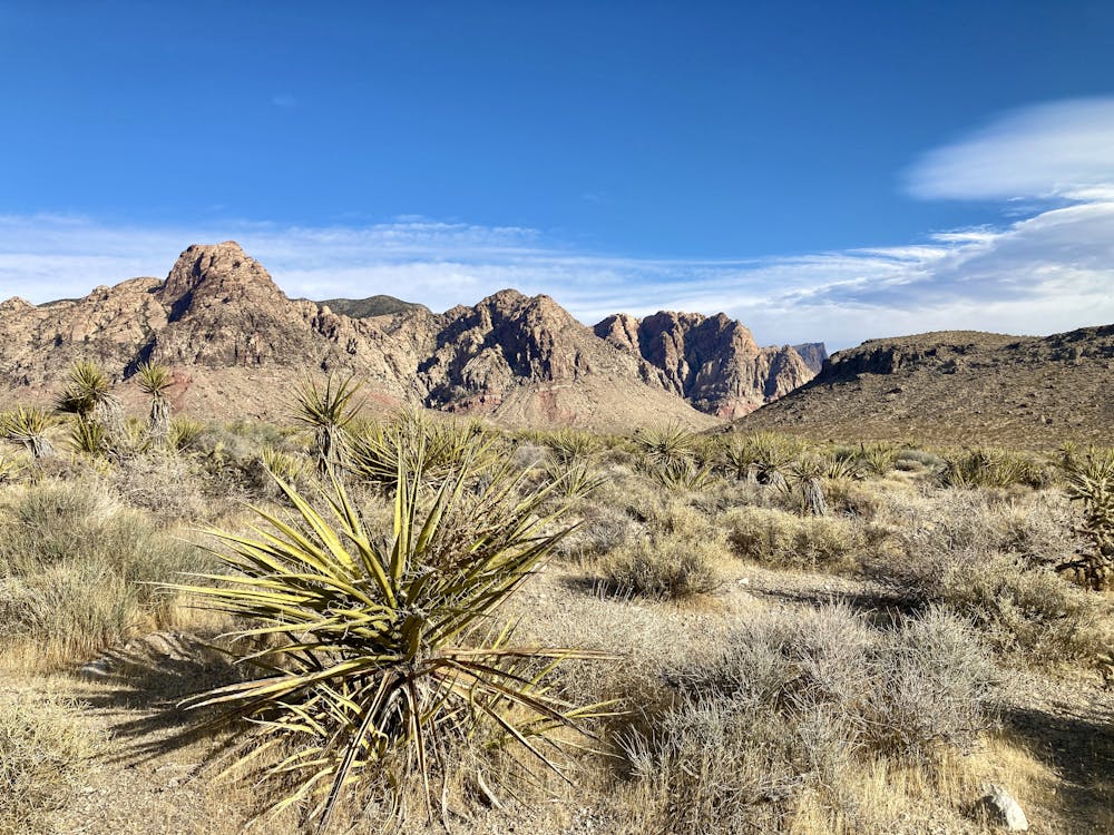
To head deep into the hills above Blue Diamond, check out this delightful loop on Dead Horse to 3 Mile Smile.
This intermediate-friendly ride is mapped as departing from the Late Night Trailhead, but it can be ridden in conjunction with the classic Blue Diamond loop for a much longer cross country ride, if desired. As mapped, this ride is 14.3 miles by itself, making for a great ~2 hour pedal in the foothills.
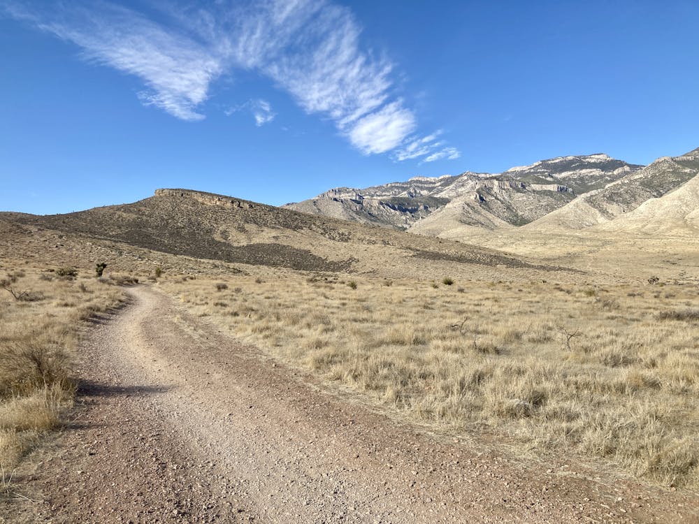
The ride begins by climbing slowly along the Dead Horse Trail through a low valley on mostly-smooth singletrack. The smooth, gravelly trails are occasionally punctuated by larger rock obstacles, but the technical challenges are few and far between.
Eventually, you'll climb to the top of a pass and gain a beautiful overlook of the desert below, with the mountains mostly flanking you. Take a few minutes to soak in the stunning beauty of the desert, and marvel at how wild and isolated it feels, despite being right on the outskirts of the Las Vegas metro area!
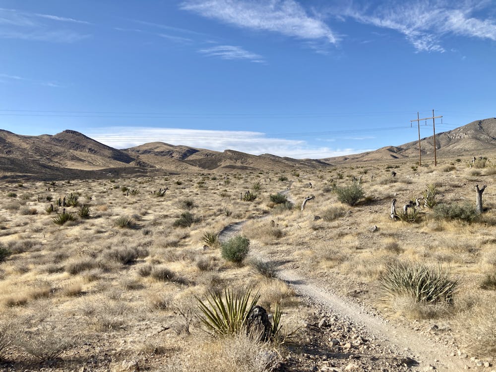
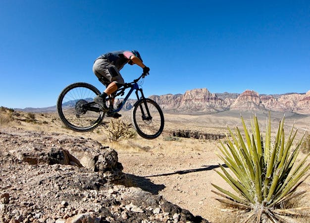
Now comes the fun part! The moderate climbing you've done to reach the overlook rewards you with a fast, swooping descent back down the valley. The descent begins by following the Dead Horse Loop, but then soon connects to 3 Mile Smile. You can imagine why this trail earned this name, as you'll be grinning from ear-to-ear for the next 3 miles of flowy, swooping downhill through the desert.
At the junction, you have a few different options, but the one shown here climbs a short way to the Badger Pass trail for another swoopy, mellow descent. Carrying on straight would drop downhill sooner, but do so via a slightly rougher section of trail.
Moderate
Mostly stable trail tread with some variability, with unavoidable obstacles 8in/20cm tall or less. Other obstacles such as rock gullies and steep sections may exist. Ideal for lower intermediate riders.

The path is on completely flat land and potential injury is limited to falling over.

Away from help but easily accessed.
2 m away
A flowy beginner-friendly loop through a beautiful section of the desert.
Easy Mountain Biking
4.6 km away
Beautiful desert pedaling on the edge of Las Vegas.
Moderate Mountain Biking

37 routes · Mountain Biking
16 routes · Mountain Biking
5 routes · Mountain Biking