4.6 km away
Mustang Loop
A flowy beginner-friendly loop through a beautiful section of the desert.
Easy Mountain Biking
- Distance
- 6.1 km
- Ascent
- 115 m
- Descent
- 116 m
Beautiful desert pedaling on the edge of Las Vegas.
Mountain Biking Moderate

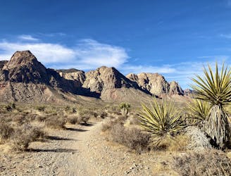
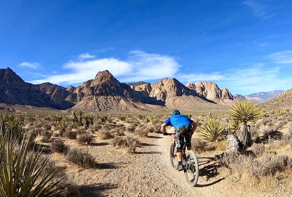
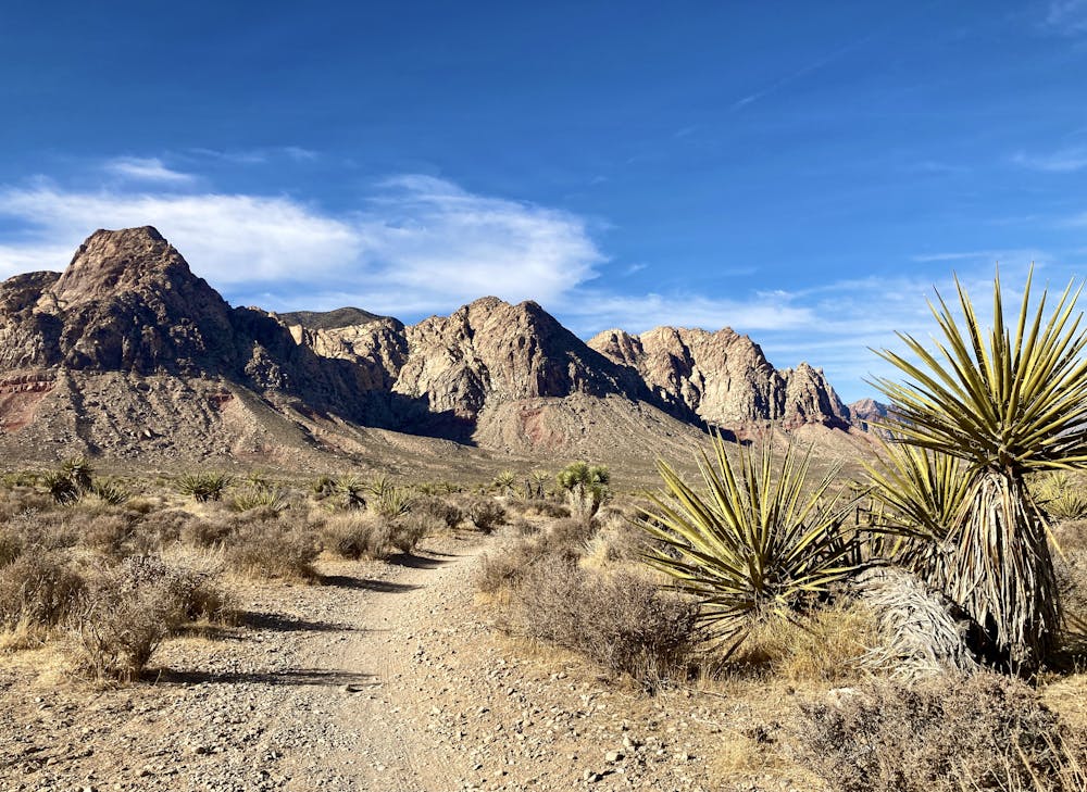
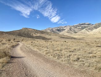
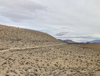
The Cottonwood Valley trail system is anchored by the tiny town of Blue Diamond, just outside of suburban Las Vegas. Directly from "downtown" Blue Diamond, you can pedal into this fantastic network of flowy singletrack trails running through the high desert hills.
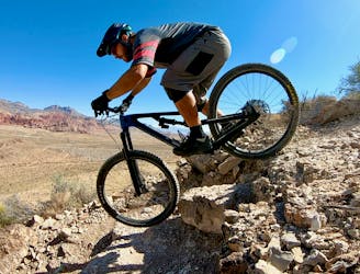
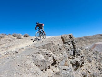
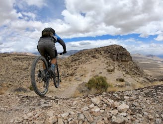
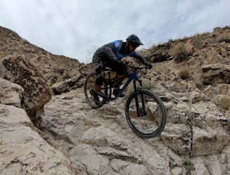
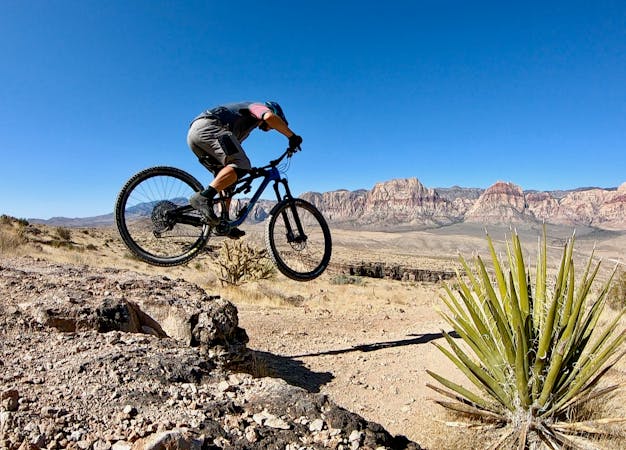
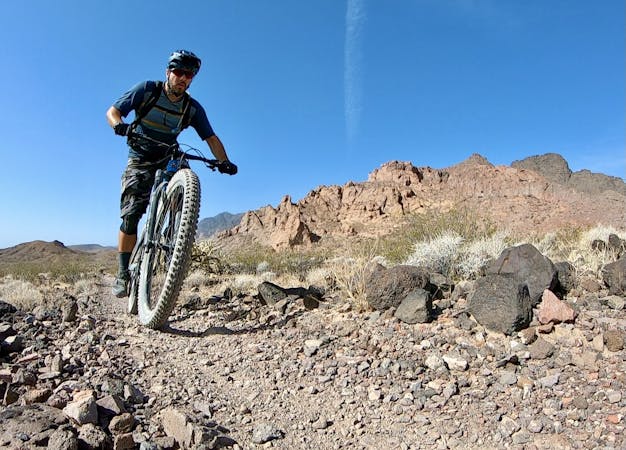
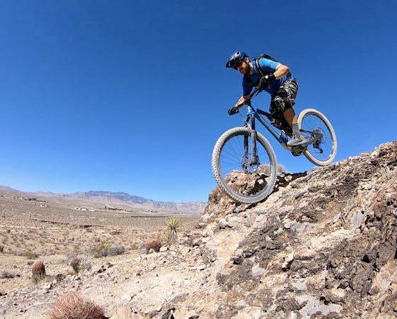
Right out of downtown, the classic Landmine Loop will throw some rocky challenges at you. There are a few chunky rock gardens and some small ledges on the climbs and descents. Despite these rock gardens, I've still given this ride a "moderate" rating overall. In comparison to the average desert trail, these rocks are pretty much par for the course of easy intermediate singletrack.
Once you depart from the Landmine loop and begin pedaling down Cactus Slalom toward the Mustang Loop, the singletrack gets even easier. The trails are swoopy and flowy, consisting mostly of packed sand with very few rocks.
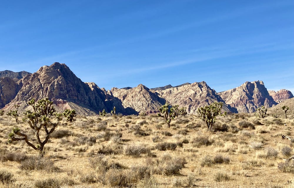
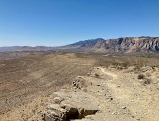
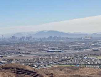
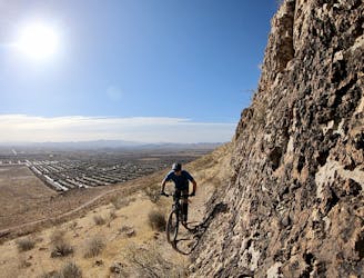
From the far reaches of the trail system, you'll enjoy captivating views of the towering red rock cliffs to the west. Who knew that just 30 minutes west of the ugliness of the Strip you could find natural beauty this stunning?!
After rounding the parking lot and the upper end of Mustang, a fast, flowy descent shows that you actually were climbing on your way out. The banked corners allow you to fly down the hillside, rocking and rolling all the way back to the junction with Lil Daytona.
The technical entrance into Lil Daytona might seem challenging, but again, the vast majority of Lil Daytona is fast and flowy, returning eventually to the Landmine Loop.
Landmine finishes with a bit of uphill pedaling on rolling terrain to return to the town of Blue Diamond, forcing you to pay penance for the delightful downhill you just enjoyed. Once everything is said and done, you'll still only have climbed a total of 991 feet over the course of this 12.4-mile ride—downright flat by mountain biking standards.
Moderate
Mostly stable trail tread with some variability, with unavoidable obstacles 8in/20cm tall or less. Other obstacles such as rock gullies and steep sections may exist. Ideal for lower intermediate riders.

The path is on completely flat land and potential injury is limited to falling over.

Away from help but easily accessed.
4.6 km away
A flowy beginner-friendly loop through a beautiful section of the desert.
Easy Mountain Biking
4.6 km away
A beautiful, smooth XC pedal deep in the hills.
Moderate Mountain Biking
8.5 km away
Everyone loves a good Flow Job, and you can get a great one here in Las Vegas!
Difficult Mountain Biking
8.5 km away
A fantastic tech ride with stunning views!
Extreme Mountain Biking
8.5 km away
Everyone loves a good Flow Job, and you can get a great one here in Las Vegas!
Moderate Mountain Biking
8.5 km away
Technical descending with stunning views of the city.
Extreme Mountain Biking
8.5 km away
Rock ledges, exposed cliffs, and epic views of the city!
Severe Mountain Biking
8.5 km away
Stunning views, big exposure, and gnarly descending.
Severe Mountain Biking
8.7 km away
Hit the best black diamond gems in the Bear's Best trail system.
Severe Mountain Biking
8.7 km away
Fantastic swoop and flow in the desert outside of Las Vegas.
Moderate Mountain Biking

37 routes · Mountain Biking
16 routes · Mountain Biking
5 routes · Mountain Biking
6 routes · Mountain Biking