Southwest Ridge: Southern Loops

Rock ledges, exposed cliffs, and epic views of the city!
Severe Mountain Biking
- Distance
- 23 km
- Ascent
- 451 m
- Descent
- 451 m
Stunning views, big exposure, and gnarly descending.
Mountain Biking Severe

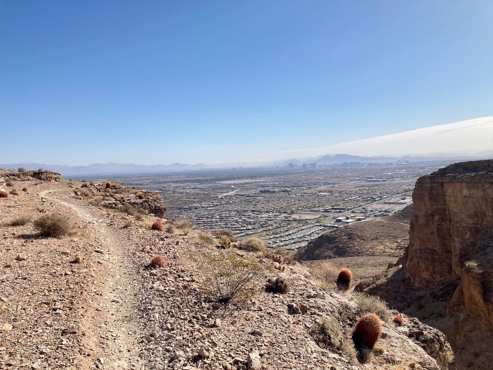
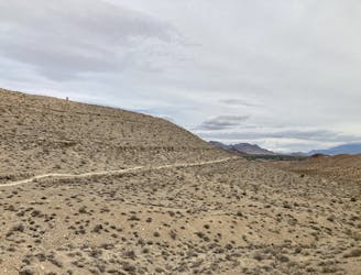
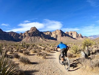
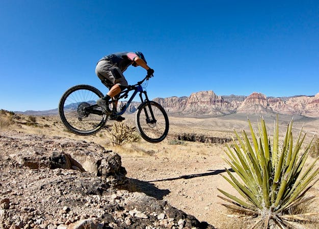
Southwest Ridge rises prominently directly above the (you guessed it) southwest suburbs of the Las Vegas metro area. From the top of the ridge, you can see the entire metropolis spread out below you and distinctly pick out specific casinos from the skyline of the Strip on the other side of town. But in addition to the great views, Southwest Ridge offers some rad technical mountain biking!
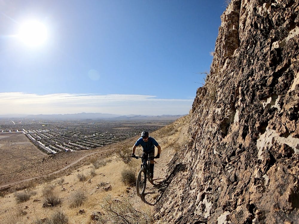

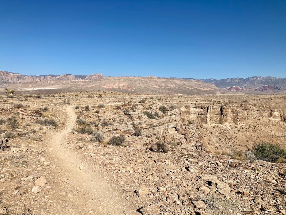
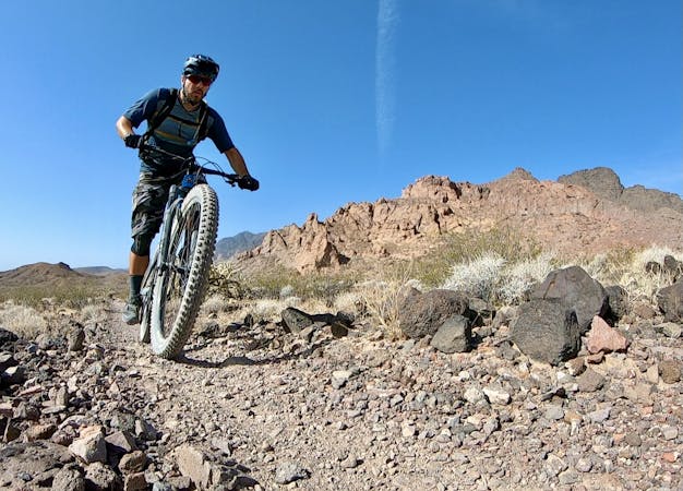
Menny Thanks is the primary tech loop that anchors the southern end of this trail system. It climbs steeply to gain the ridge and then spends several miles traversing along the rim. You'll have to keep your eyes on the trail, though, because the singletrack negotiates a constant series of sharp rock ledges, both up and down, as you undulate along the bench.
(Note: it's tough to spot the turn off of the dirt road onto the Menny Thanks singletrack the first time, so keep your eyes peeled and be sure to download this route for offline navigation.)
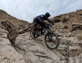
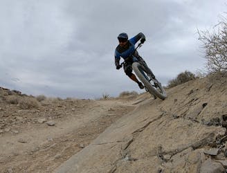
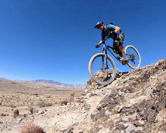
After swinging around the ridge, Menny Thanks plummets straight back down the mountain via a combination of high-speed flowy singletrack, chundery rock gardens, and a series of ledge drops that offer some serious hang time! "Ledges" is the name of the game at Southwest Ridge, and you'll either get your ledge hucking game down or crash your brains out trying!
Actually, it's probably best to not crash your brains out, because the singletrack here is quite exposed in places. Especially on top of the ridge, the trail tread is dramatically exposed next to a series of sheer cliffs. This ride isn't for the faint of heart or short of skills.
Severe
Widely variable, narrow trail tread with steeper grades and unavoidable obstacles of 15in/38cm tall or less. Obstacles may include unavoidable bridges 24in/61cm wide or less, large rocks, gravel, difficult root sections, and more. Ideal for advanced-level riders.

Some trail sections have exposed ledges or steep ascents/descents where falling could cause serious injury.

Close to help in case of emergency.
Rock ledges, exposed cliffs, and epic views of the city!
Severe Mountain Biking
7.1 km away
Hit the best black diamond gems in the Bear's Best trail system.
Severe Mountain Biking
7.1 km away
Fantastic swoop and flow in the desert outside of Las Vegas.
Moderate Mountain Biking
7.1 km away
Take Your Mom and Step Mom for a quick ride.
Moderate Mountain Biking
8.5 km away
Beautiful desert pedaling on the edge of Las Vegas.
Moderate Mountain Biking

37 routes · Mountain Biking
16 routes · Mountain Biking
5 routes · Mountain Biking
6 routes · Mountain Biking