6 m away
Bear's Best Black Diamond Loop
Hit the best black diamond gems in the Bear's Best trail system.
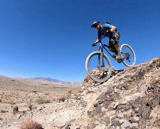
Severe Mountain Biking
- Distance
- 23 km
- Ascent
- 409 m
- Descent
- 409 m
Take Your Mom and Step Mom for a quick ride.
Mountain Biking Moderate

For a fun, quick ride on the southwest corner of Vegas, take Step Mom, Your Mom, and Alice for a spin.
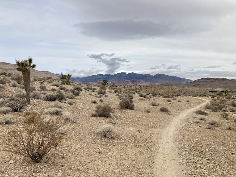
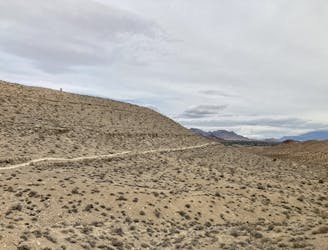
You'll find this short, beginner-friendly loop on the northern end of the Bear's Best trail system. This expansive trail system offers a serious spider web of interconnecting singletrack trails. It mashes into the Southwest Ridge trail system to such an extent that it can be difficult to tell where one trail system ends and the other begins. It can even be connected to the Cowboy Trails and the Blue Diamond Trails without much difficulty. In short, the web of trails on this side of Vegas offers a limitless number of ride options, of which this is just one.
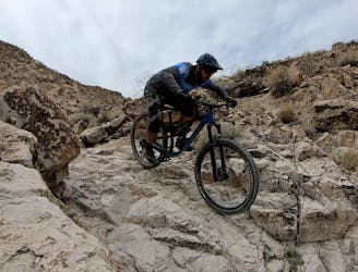
After following the standard path to pedal into the Bear's Best trail system, you'll keep pedaling up Step Mom to reach Your Mom. Your Mom offers a flowy, fun trail that bobs and weaves through the mellow dirt hills and arroyos of the desert. The trail tread is downright smooth, although punctuated by the occasional rock. These few rock obstacles earn the ride a "Moderate" FATMAP difficulty rating, but plenty of beginner mountain bikers will still enjoy the pleasures found on Your Mom.
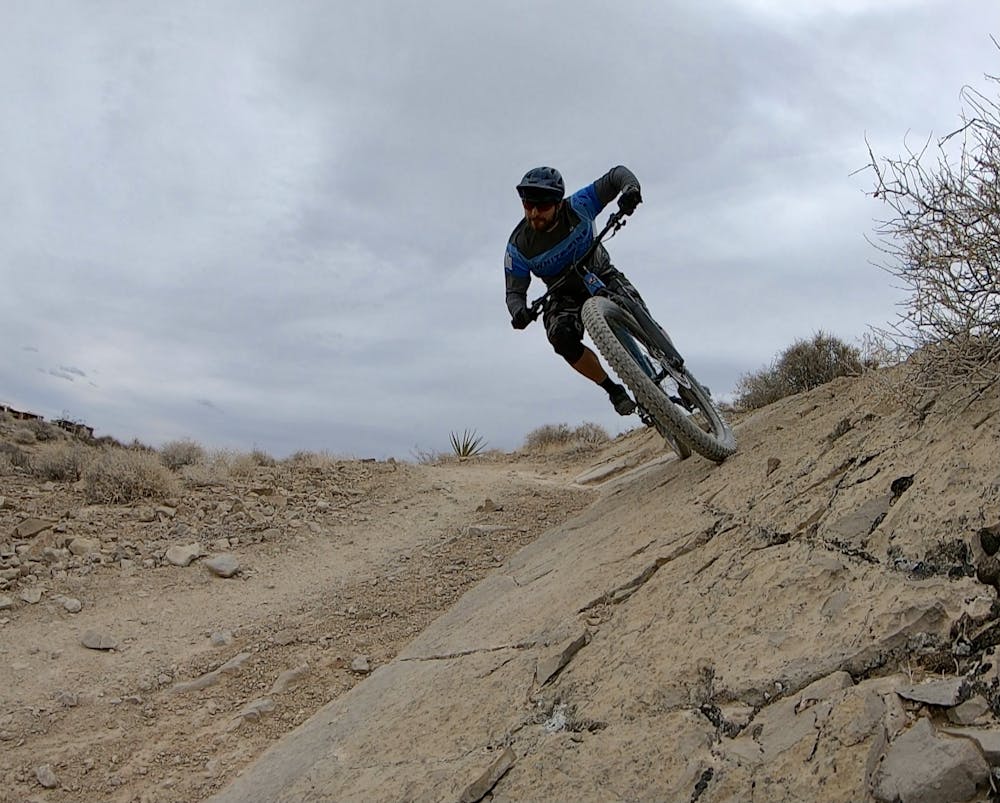
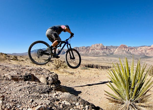
After swooping along Your Mom, you'll go down fast and furious on Alice. The flowy, fast singletrack continues but down a persistent downhill grade, swooping and flowing back to the entrance to the trail system, near the end of the canal.
If you haven't had enough yet, try climbing TK to the top of a low pass and then descending Perma Grin. That short loop will drop you right back to where you're currently standing for a few welcome bonus miles. For even more bonus miles, check out the full Perma Grin loop here on FATMAP.
Moderate
Mostly stable trail tread with some variability, with unavoidable obstacles 8in/20cm tall or less. Other obstacles such as rock gullies and steep sections may exist. Ideal for lower intermediate riders.

The path is on completely flat land and potential injury is limited to falling over.
Close to help in case of emergency.
6 m away
Hit the best black diamond gems in the Bear's Best trail system.
Severe Mountain Biking
6 m away
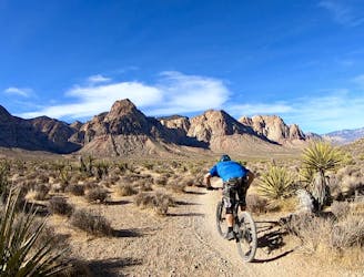
Fantastic swoop and flow in the desert outside of Las Vegas.
Moderate Mountain Biking
7.1 km away
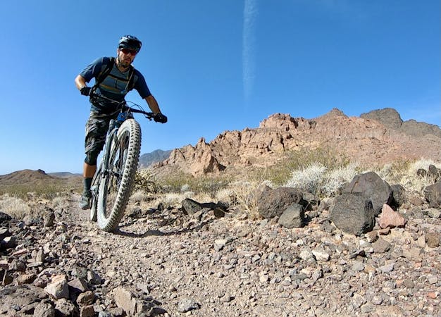
Stunning views, big exposure, and gnarly descending.
Severe Mountain Biking
7.1 km away

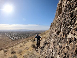
Rock ledges, exposed cliffs, and epic views of the city!
Severe Mountain Biking
8.7 km away
Beautiful desert pedaling on the edge of Las Vegas.
Moderate Mountain Biking

37 routes · Mountain Biking
16 routes · Mountain Biking
5 routes · Mountain Biking
6 routes · Mountain Biking