9.1 km away
Appalachian Trail: Franconia Notch to Crawford Notch
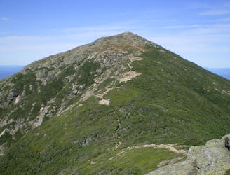
A perfect segment to shuttle, bagging several 4,000-footers along the way.
Severe Hiking
- Distance
- 40 km
- Ascent
- 2.5 km
- Descent
- 2.6 km
A wandering, beautiful journey up a peaceful valley
Hiking Moderate

The Lincoln Woods Trail in New Hampshire is a gateway to the breathtaking beauty of the White Mountains, offering hikers a scenic journey through pristine wilderness and along the serene Pemigewasset River.
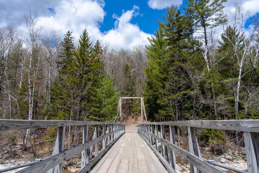
As you make your way along the Lincoln Woods Trail, you're enveloped by the tranquility of the forest, and the trail meanders gently through the lush undergrowth, offering occasional glimpses of the rushing river and surrounding mountains through breaks in the trees. Along the way, interpretive signs provide information about the natural and cultural history of the area, giving this popular trail a cultural element to go with its natural interest.
After approximately 2.9 miles, the Lincoln Woods Trail intersects with the Wilderness Trail, opening up a multitude of possibilities for further exploration. We've drawn the line up to here, but you can choose to continue along the Wilderness Trail to access popular destinations such as Franconia Falls, Franconia Brook Tentsite, and the Pemigewasset Wilderness Area. Alternatively, turn around and enjoy seeing the trail and its many features from a different angle.
Moderate
Hiking along trails with some uneven terrain and small hills. Small rocks and roots may be present.

The path is on completely flat land and potential injury is limited to falling over.

Away from help but easily accessed.
9.1 km away
A perfect segment to shuttle, bagging several 4,000-footers along the way.
Severe Hiking

58 routes · Hiking

25 routes · Alpine Climbing · Hiking

10 routes · Hiking