5.6 km away
Appalachian Trail: Crawford Notch to Pinkham Notch
Summit the highest peak in the northeast, Mount Washington.
Severe Hiking
- Distance
- 37 km
- Ascent
- 2.6 km
- Descent
- 2.4 km
Easy day hike to the top of Mount Willard
Hiking Moderate
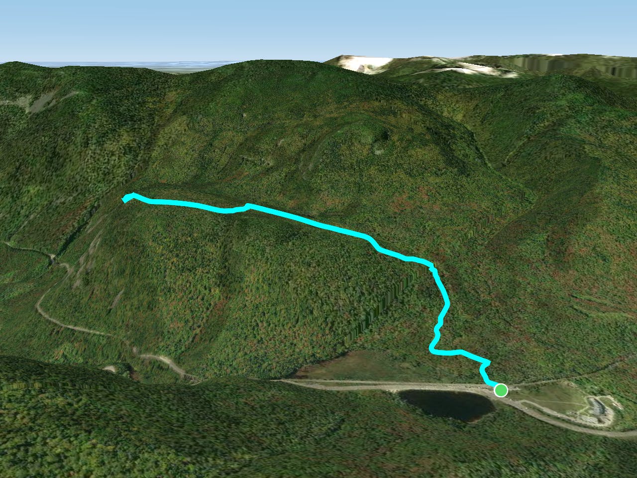
This is a popular hiking route which is generally considered to be moderate. It's remote, it features medium exposure and is typically done between March and November. From a low point of 577 m to the maximum altitude of 854 m, the route covers 5 km, 283 vertical metres of ascent and 283 vertical metres of descent.
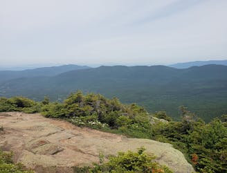
Mount Willard is a large cliff that over looks Crawford Notch. It has amazing views and is fairly easy.
Moderate
Hiking along trails with some uneven terrain and small hills. Small rocks and roots may be present.

The trail contains some obstacles such as outcroppings and rock which could cause injury.
Away from help but easily accessed.
5.6 km away
Summit the highest peak in the northeast, Mount Washington.
Severe Hiking

58 routes · Hiking