9 m away
Wheeler Peak via the Bull of the Woods trail
The best way to the highest point in New Mexico
Severe Hiking
- Distance
- 23 km
- Ascent
- 1.4 km
- Descent
- 1.4 km
A beautiful above-alpine peak in the Sangres.
Hiking Difficult

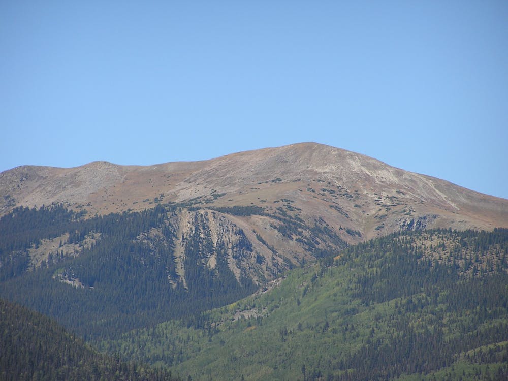
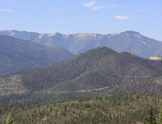
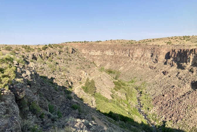
Gold "Hill" is actually a tall mountain peak that soars above treeline, rising to a height of 12,716 feet above sea level. This peak in the Sangre de Cristo range is dwarfed by nearby 13,161-foot Wheeler Peak, the tallest mountain in the state. But thanks to Wheeler's proximity, most of the crowds go there, leaving Gold Hill positively deserted. For a change of pace and to avoid the crowds, check out this peak climb instead.
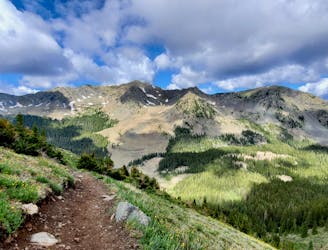
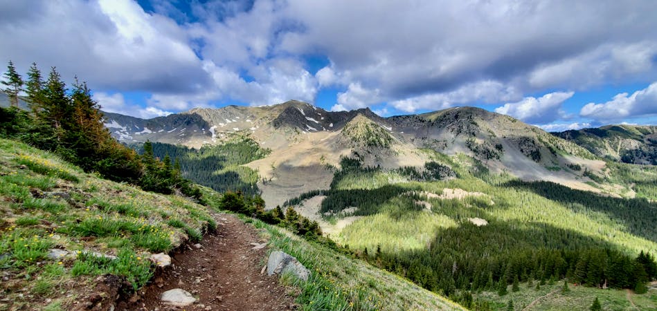
There are several different ways to reach the top of Gold Hill. From the Bull of the Woods trailhead, both the Long Canyon Trail and the Gold Hill Trail lead toward the summit. Gold Hill follows the ridgeline, and Long Canyon runs up the bottom of a canyon before joining Gold Hill Trail at a saddle. This route shows both of these options, creating a loop in the middle of the route to add some variety to your hike.
Gold Hill can also be accessed from the northeast via the Goose Creek Trail and the Northwest via the Placer Fork trail. You could even combo Gold Hill with Lobo Peak if you're feeling very ambitious.
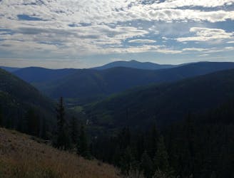
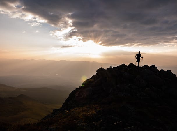
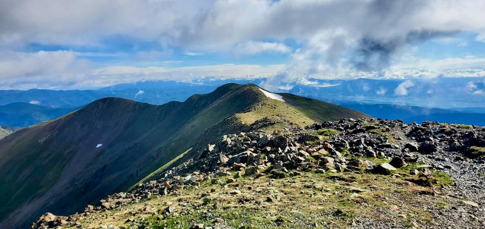
Regardless, the route as mapped provides a delightful summit hike with incredible variety, thanks to both the ridgeline section of hiking on Gold Hill and getting to hike through a narrow mountain valley on Long Canyon. And finally, the above-treeline section as you make the final push to the summit of Gold Hill is absolutely stunning!
This exposed mountain peak affords incredible views of Northern New Mexico with mountain peaks in all directions!
Sources: https://www.summitpost.org/gold-hill/151451 https://www.peakbagger.com/peak.aspx?pid=5933#:~:text=Elevation%3A%2012%2C716%20feet%2C%203876%20meters
Difficult
Hiking trails where obstacles such as rocks or roots are prevalent. Some obstacles can require care to step over or around. At times, the trail can be worn and eroded. The grade of the trail is generally quite steep, and can often lead to strenuous hiking.

The trail contains some obstacles such as outcroppings and rock which could cause injury.

Little chance of being seen or helped in case of an accident.
9 m away
The best way to the highest point in New Mexico
Severe Hiking
2.1 km away
The most direct route to New Mexico's 13,161-foot high point.
Severe Hiking
2.1 km away
The most popular trail in Taos Ski Valley—but for good reason!
Moderate Hiking
3.1 km away

Steep climb to beautiful views of the Sangres.
Difficult Hiking
6.8 km away
A non-technical but steep climb to Lobo Peak
Difficult Hiking
5 routes · Alpine Climbing · Hiking
7 routes · Hiking
4 routes · Alpine Climbing · Hiking
7 routes · Hiking · Trail Running