1 m away
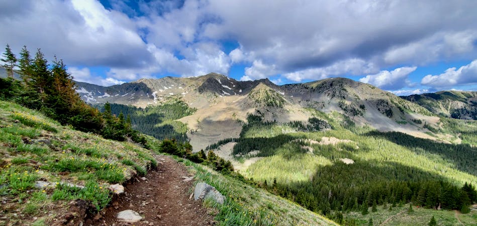
Williams Lake
The most popular trail in Taos Ski Valley—but for good reason!
Moderate Hiking
- Distance
- 6.2 km
- Ascent
- 313 m
- Descent
- 313 m
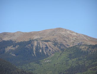
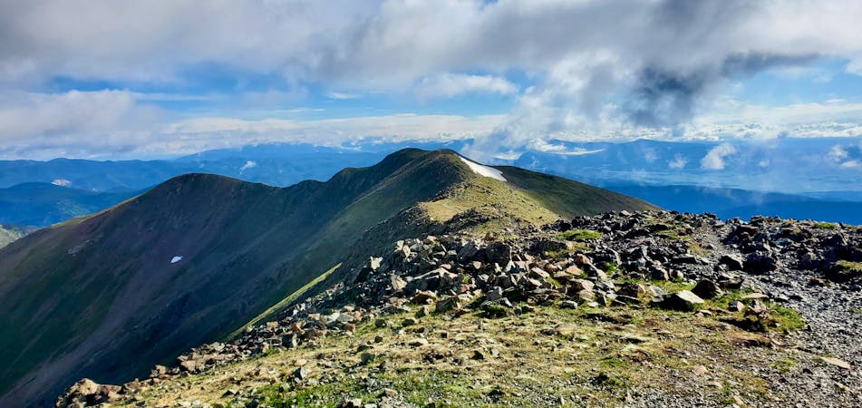
The most direct route to New Mexico's 13,161-foot high point.
Hiking Severe

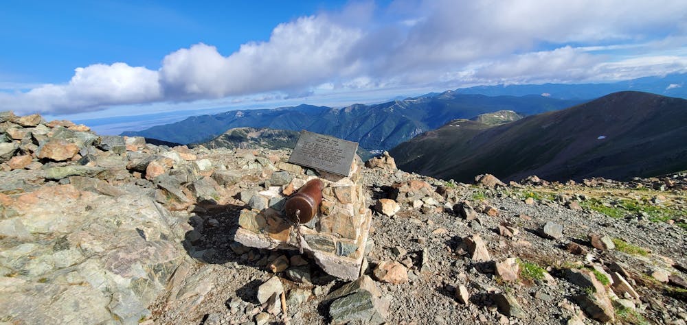
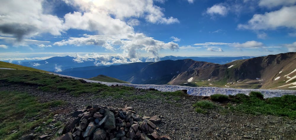
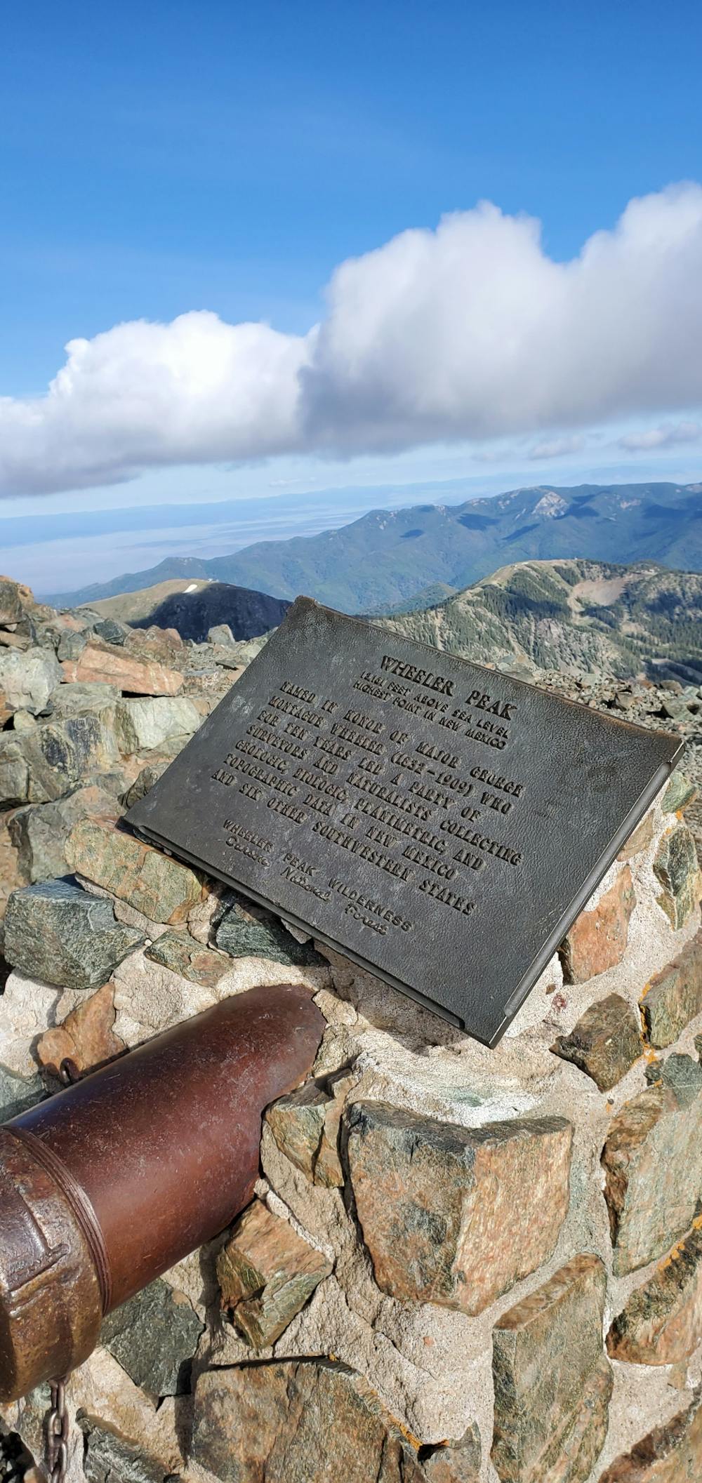
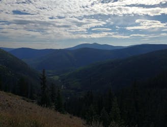
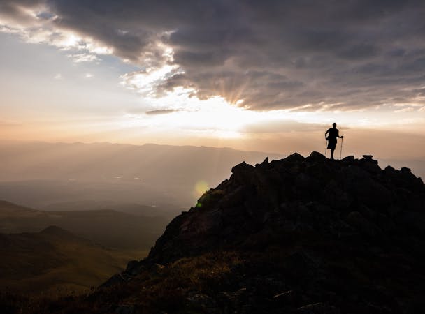
Wheeler Peak is the crown of New Mexico, soaring to a height of 13,161 feet above sea level. As the state's highpoint, and since it is a non-technical climb, Wheeler receives a significant amount of peak climbing traffic. To score a spot in the parking lot (and to get off the mountain before the afternoon thunderstorms begin), it's advisable to get to the trailhead before dawn, even during the middle of the week.


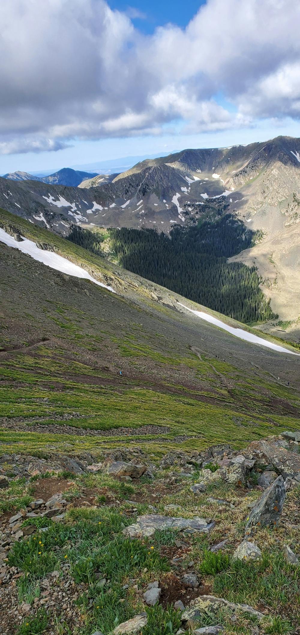
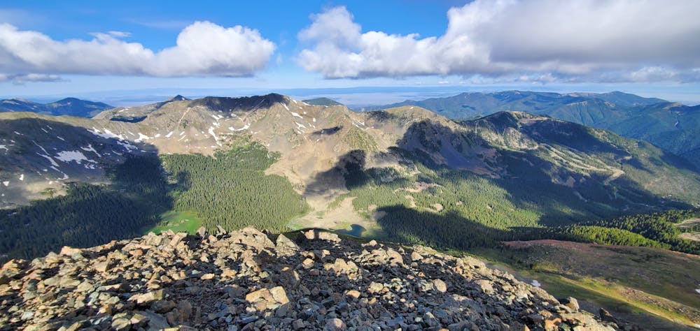
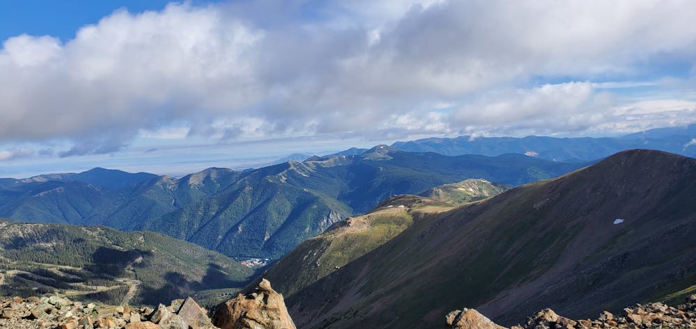
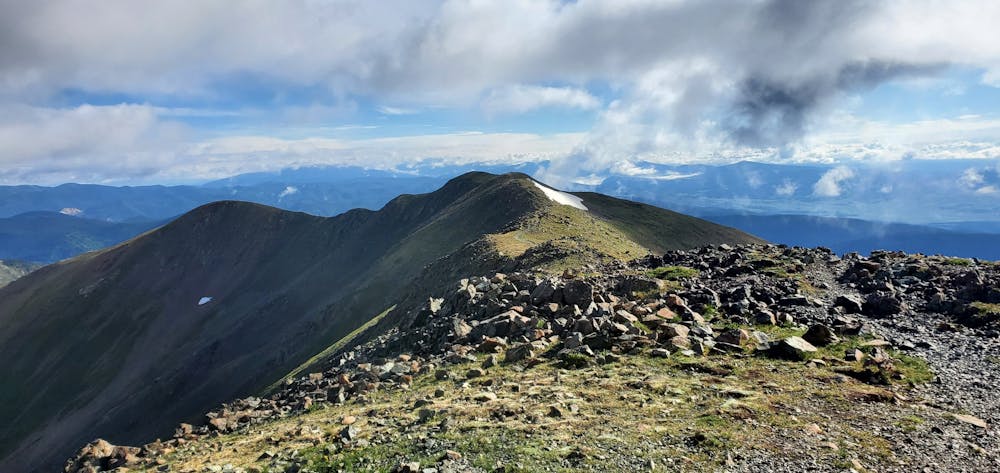
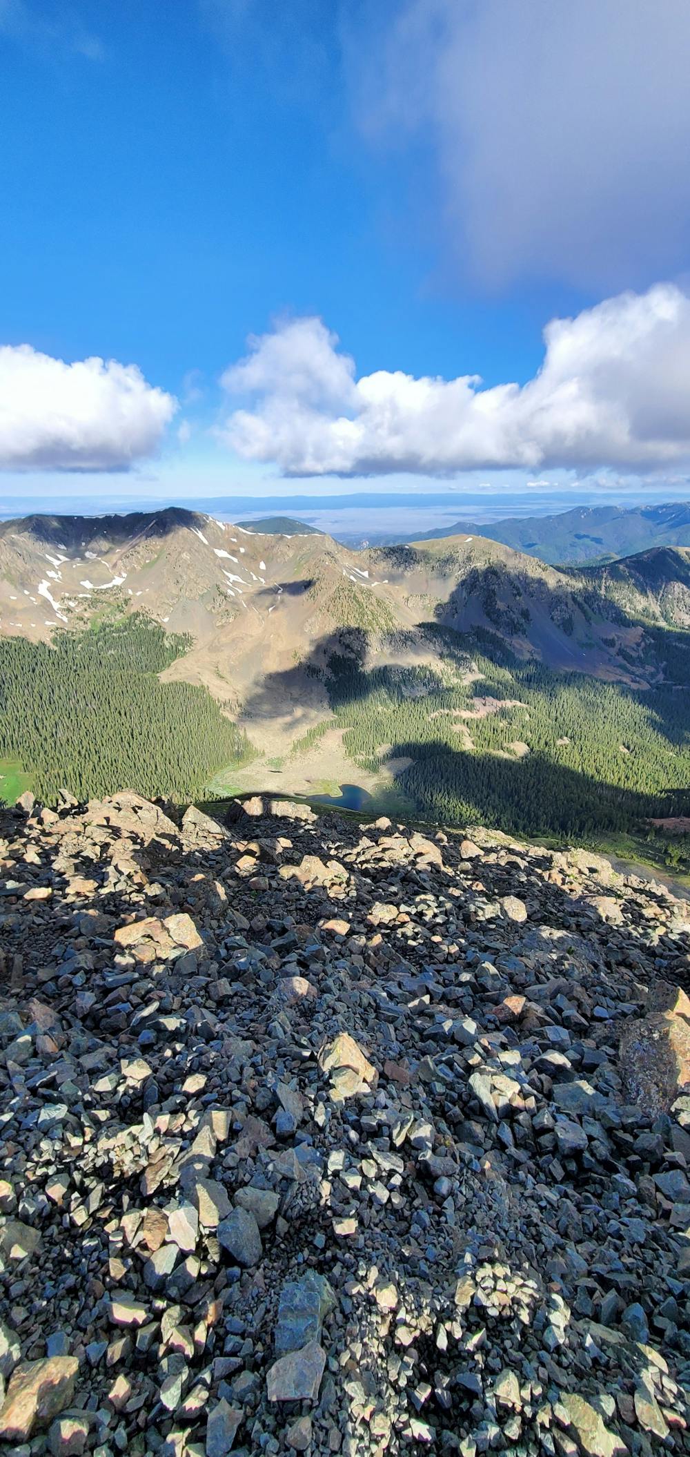
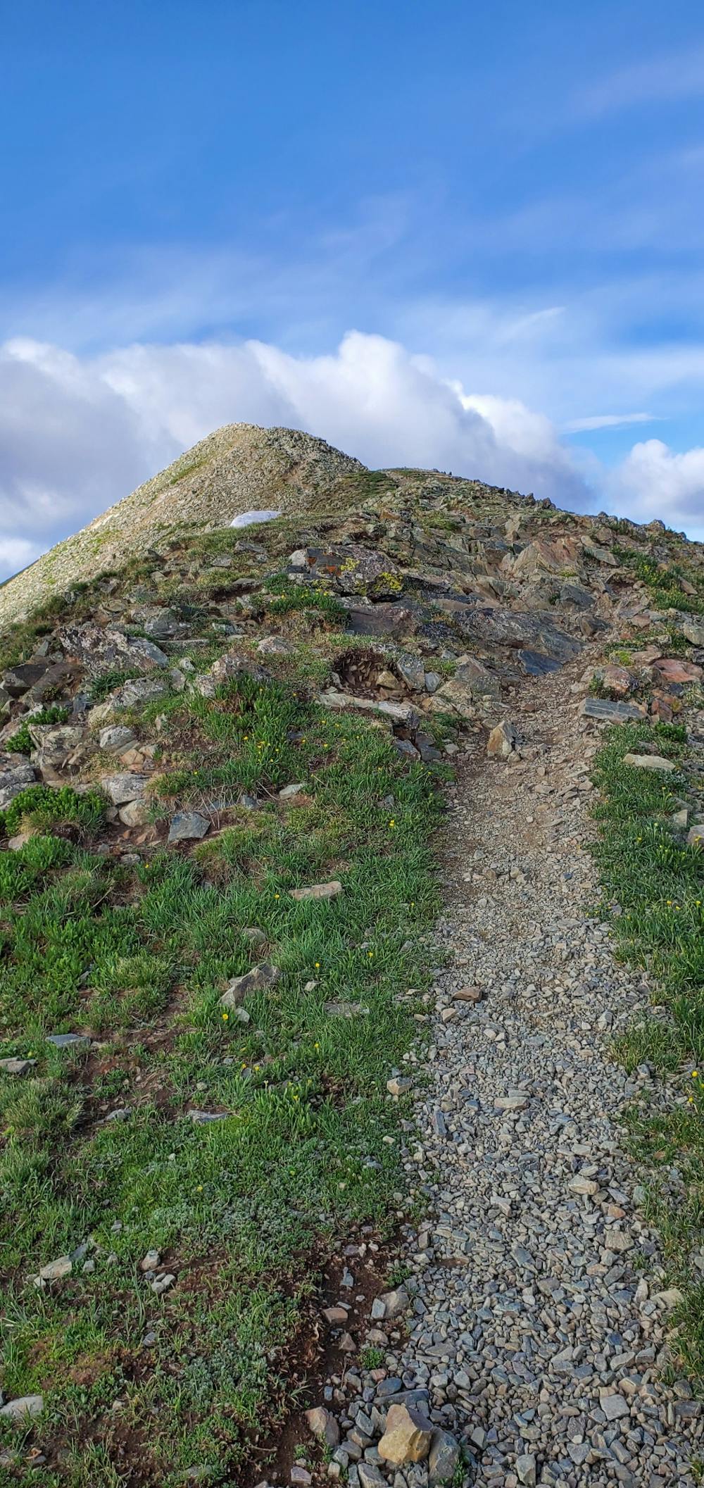
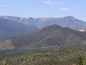
There are several different routes to the top of Wheeler Peak, but the route mapped here, via the Williams Lake trail, is the shortest and most popular option. Even still, it covers 8.4 miles round-trip and climbs about 3,000 vertical feet, according to FATMAP.
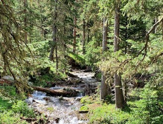
The route begins on the mellow climb toward Williams Lake. You can either choose to do the short spur to the lake, or carry on straight toward the summit of Wheeler.
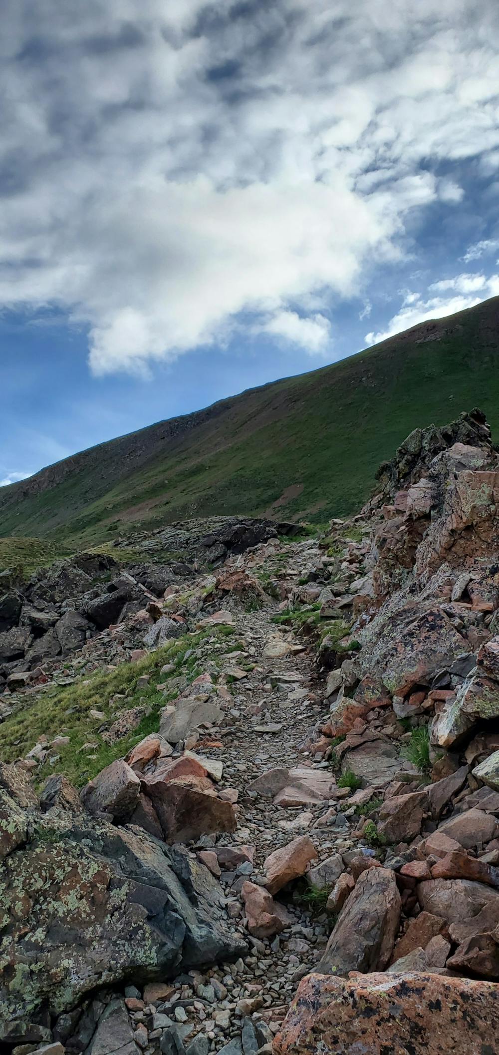
This route to the summit ranks as a class 2 climb. The final 1,000 feet of ascending consists of scree field scrambling, but during the summer, no special equipment is required. The trail is well-trod and the climb is fairly straight forward, but climbers should still take all normal precautions for weather, exposure, and other dangers.
During the winter, the climb gets trickier. Several avalanche chutes cross the summer trail and could prove very dangerous during winter months. A winter summit of Wheeler is only recommended for experienced backcountry winter travelers.
Sources: https://www.summitpost.org/wheeler-peak-nm/150429 https://www.fs.usda.gov/recarea/carson/recreation/hiking/recarea/?recid=44350&actid=50).
Severe
Hiking challenging trails where simple scrambling, with the occasional use of the hands, is a distinct possibility. The trails are often filled with all manner of obstacles both small and large, and the hills are very steep. Obstacles and challenges are often unexpected and can be unpredictable.

The trail contains some obstacles such as outcroppings and rock which could cause injury.

Little chance of being seen or helped in case of an accident.
1 m away
The most popular trail in Taos Ski Valley—but for good reason!
Moderate Hiking
2.1 km away
The best way to the highest point in New Mexico
Severe Hiking
2.1 km away
A beautiful above-alpine peak in the Sangres.
Difficult Hiking
4.3 km away

Steep climb to beautiful views of the Sangres.
Difficult Hiking
7.1 km away
A non-technical but steep climb to Lobo Peak
Difficult Hiking
5 routes · Alpine Climbing · Hiking
7 routes · Hiking
4 routes · Alpine Climbing · Hiking
7 routes · Hiking · Trail Running