9 m away
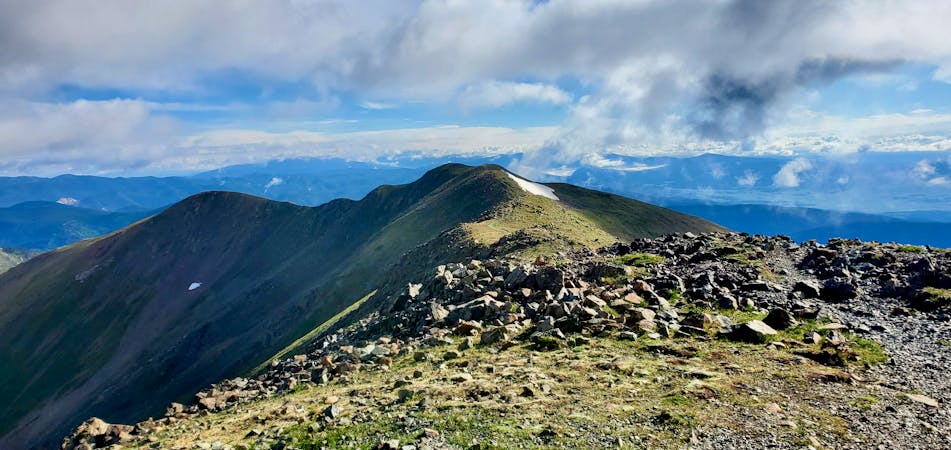
Gold Hill
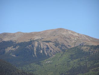
A beautiful above-alpine peak in the Sangres.
Difficult Hiking
- Distance
- 16 km
- Ascent
- 1 km
- Descent
- 1 km
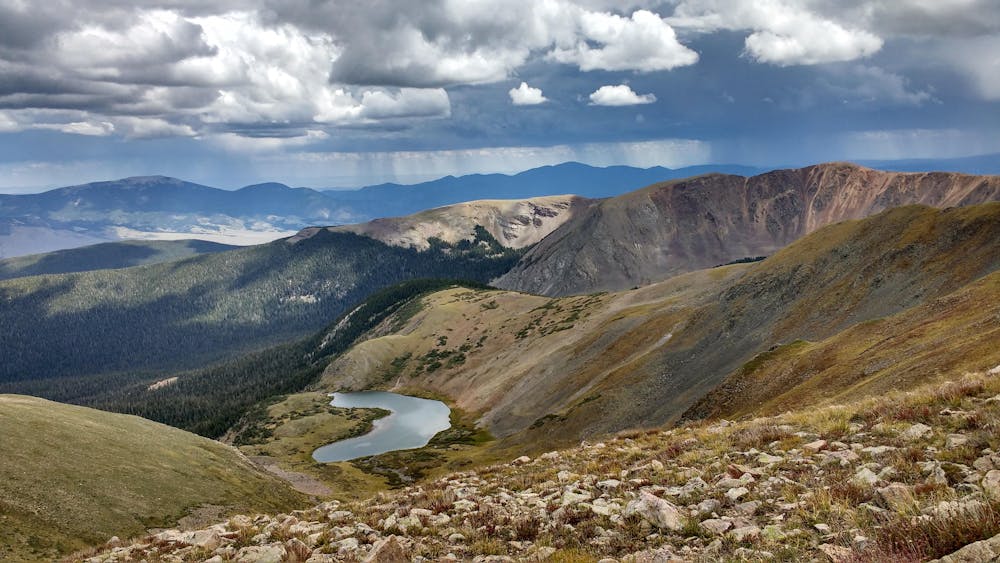
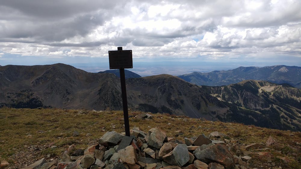
The best way to the highest point in New Mexico
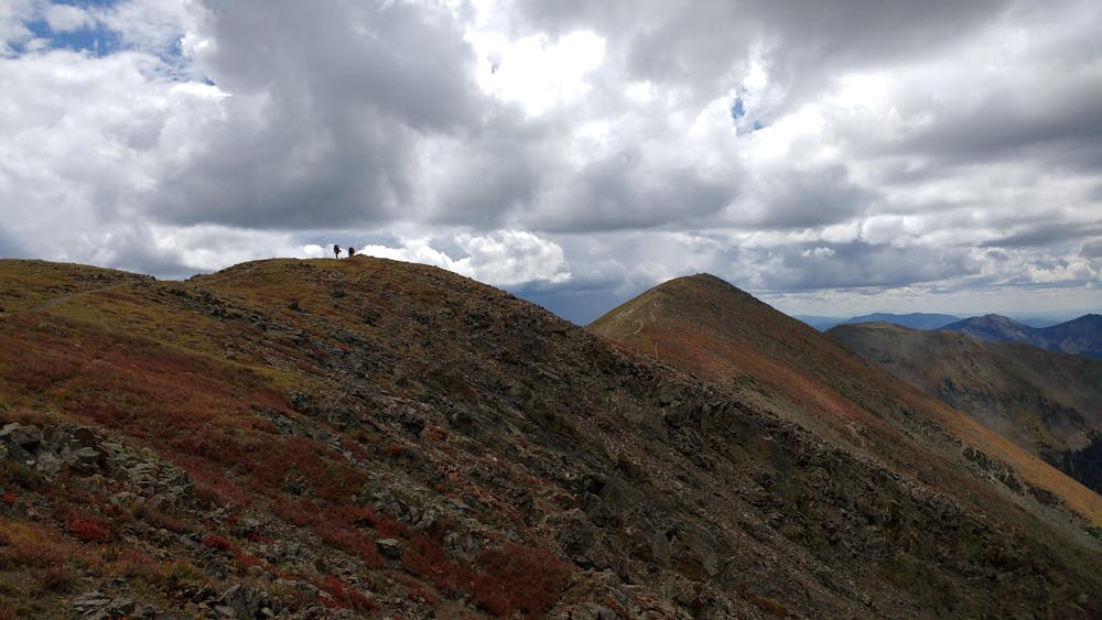
Hiking Severe

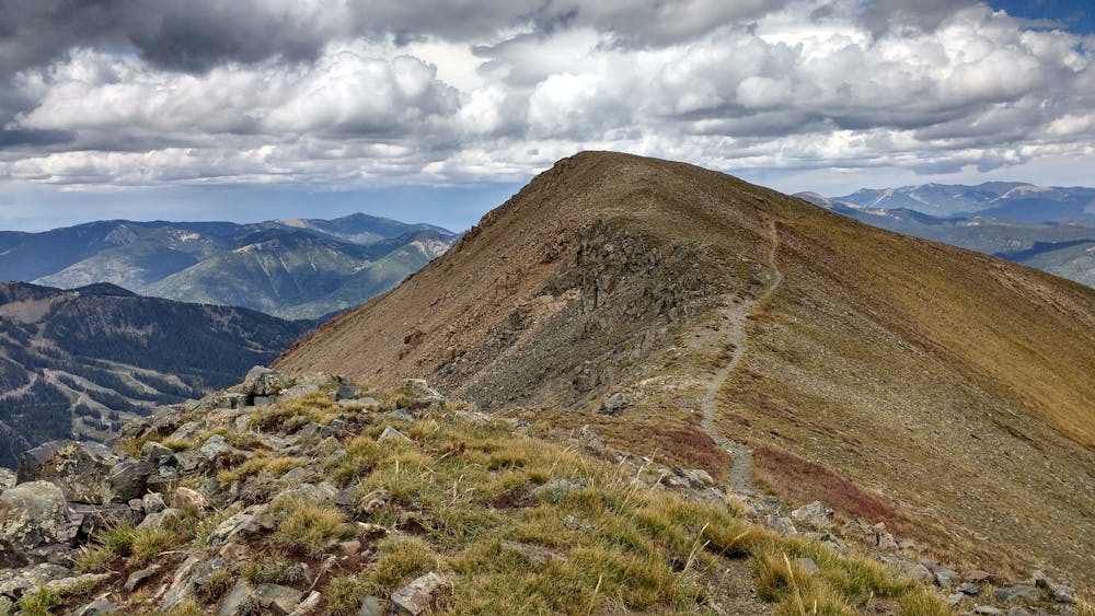
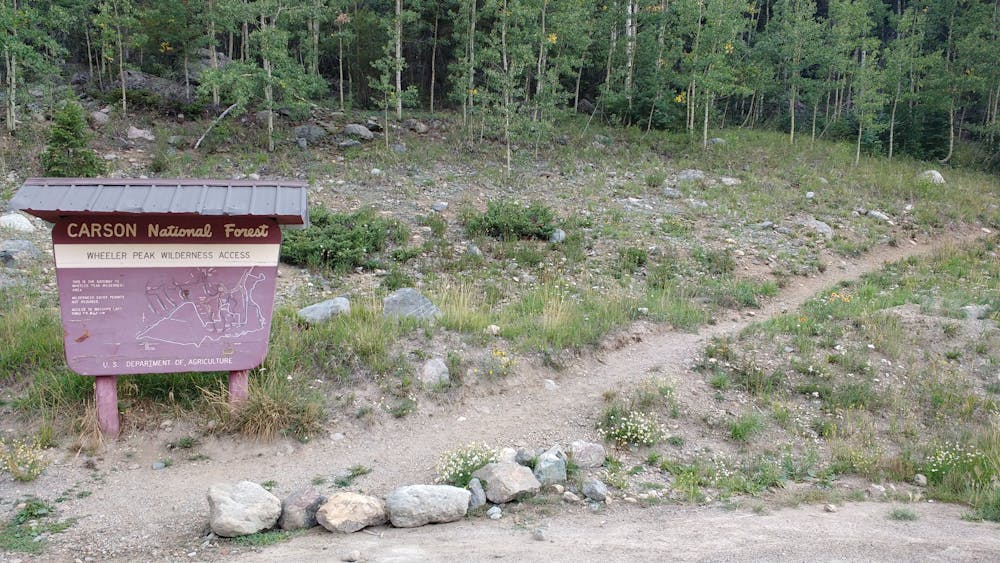
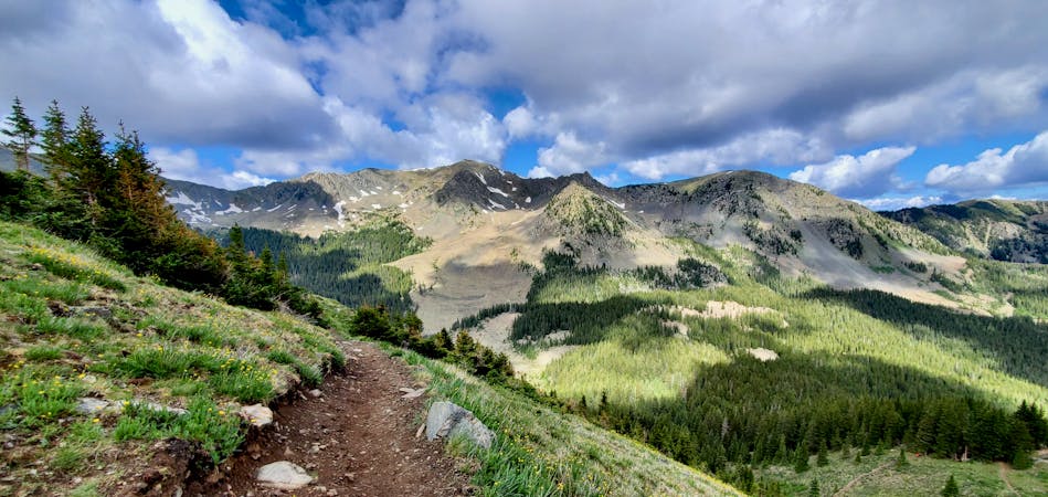
There are several routes to the top of Wheeler Peak. Bull of the Woods is a longer trail but much more pleasant and scenic than the summit trail #67 which switchbacks much more steeply up the side of the mountain. The last time I climbed Wheeler, I took that shorter route down making a loop and regret it. #67, sometimes called the Williams Lake Trail, is very very steep and monotonous. Bull of the Woods and Wheeler Peak Trail #90, by contrast, provides constant changes of scenery and much easier going. Plus, you end up where you parked your car instead of having to walk through the entire ski area - several additional miles - at the bottom.
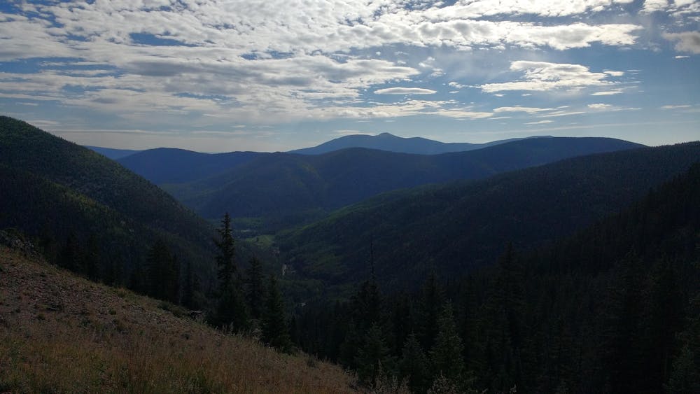
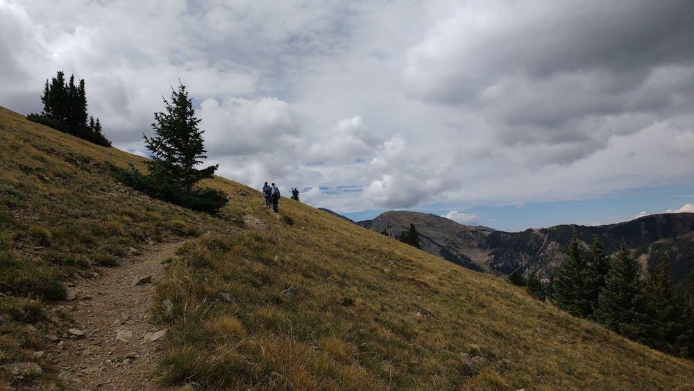
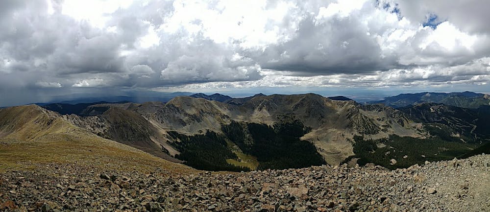
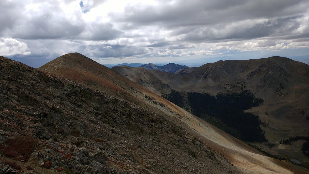
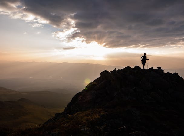
Leave early. It often takes twelve or more hours to climb Wheeler Peak. Bring plenty of water and warm clothes even in the height of summer. It drops below freezing year round above 13,000 feet. Watch for thunderstorms and turn around or seek shelter at lower elevation if you see lightning. Don't attempt this trail if you're from sea-level until you'd had some time to adjust to the elevation. Wheeler peak is much higher than Taos.
Severe
Hiking challenging trails where simple scrambling, with the occasional use of the hands, is a distinct possibility. The trails are often filled with all manner of obstacles both small and large, and the hills are very steep. Obstacles and challenges are often unexpected and can be unpredictable.

Some trail sections have exposed ledges or steep ascents/descents where falling could cause serious injury.

Away from help but easily accessed.
9 m away
A beautiful above-alpine peak in the Sangres.
Difficult Hiking
2.1 km away
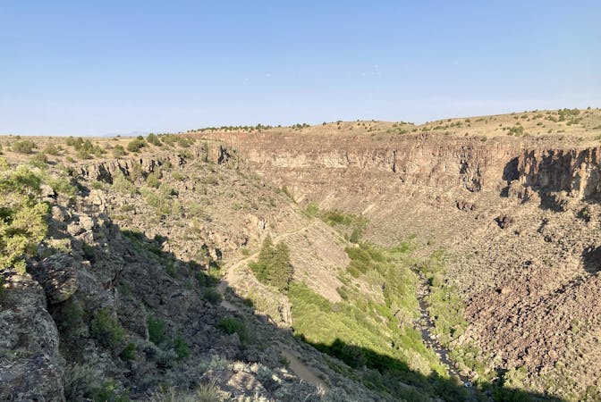
The most direct route to New Mexico's 13,161-foot high point.
Severe Hiking
2.1 km away
The most popular trail in Taos Ski Valley—but for good reason!
Moderate Hiking
3.1 km away

Steep climb to beautiful views of the Sangres.
Difficult Hiking
6.8 km away
A non-technical but steep climb to Lobo Peak
Difficult Hiking
5 routes · Alpine Climbing · Hiking
7 routes · Hiking
4 routes · Alpine Climbing · Hiking
7 routes · Hiking · Trail Running