6 m away
Devinci's Code
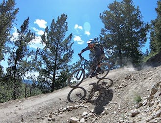
Flowy, steep, and scenic.
Difficult Mountain Biking
- Distance
- 3 km
- Ascent
- 5 m
- Descent
- 278 m
A long, winding track down the left boundary of the resort
Mountain Biking Severe

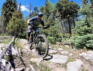
Angel's Plunge often gets mixed reviews. Parts of this trail are amazing, and others are often very sketchy and harrowing. It's worth noting this trail is very long, and requires a steep climb. Sharp 180 degree berms with no room for error, as well as high speed sections with tabletops along steep grades, make up roughly fifty percent of this track. The other fifty is a mix of more comfortable and exciting berms, tabletops and flow.
Severe
Widely variable, narrow trail tread with steeper grades and unavoidable obstacles of 15in/38cm tall or less. Obstacles may include unavoidable bridges 24in/61cm wide or less, large rocks, gravel, difficult root sections, and more. Ideal for advanced-level riders.
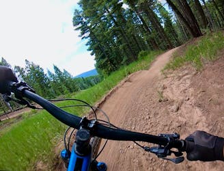
6 m away
Flowy, steep, and scenic.
Difficult Mountain Biking
7 m away

An entertaining connector trail along the top of the bike park.
Difficult Mountain Biking
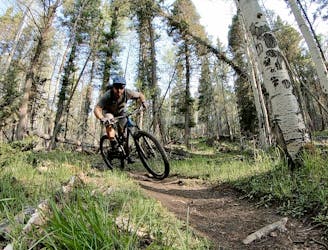
3.2 km away
A loop incorporating the only climbing trail at Angel Fire Resort.
Difficult Mountain Biking
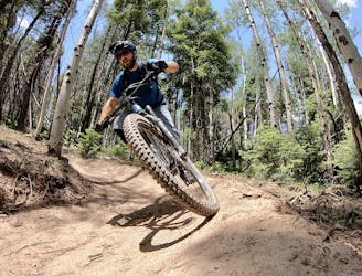
4.5 km away
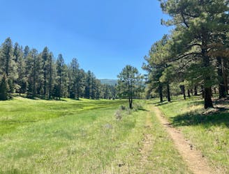
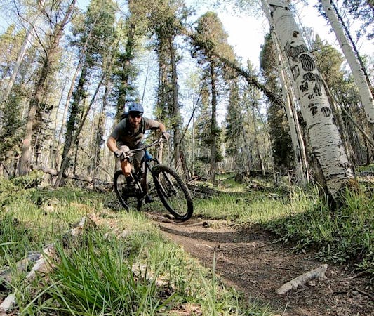
A quick pedal from Angel Fire leads to a beautiful aspen grove.
Moderate Mountain Biking
4.8 km away
An epic loop ride from downtown Angel Fire.
Difficult Mountain Biking
4.8 km away
A convenient beginner loop that's rideable directly from downtown Angel Fire.
Easy Mountain Biking
9.3 km away
An epic, challenging backcountry loop on little-ridden singletrack.
Difficult Mountain Biking
28 routes · Mountain Biking
5 routes · Mountain Biking