981 m away
Ziggy

An entertaining connector trail along the top of the bike park.
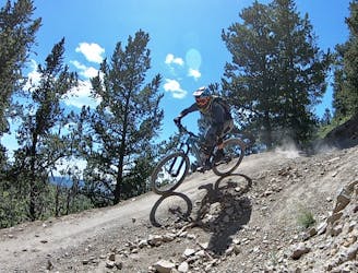
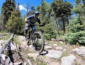
Difficult Mountain Biking
- Distance
- 1.1 km
- Ascent
- 0 m
- Descent
- 100 m
A local favorite, with a mix of everything
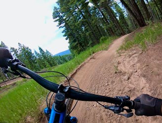
Mountain Biking Moderate

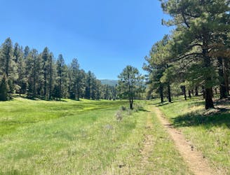
Lemonade is one of the easier, but still very exciting, blue runs on the mountain. With mixed terrain, from small rocky sections to fast flowing straightaways to tight technical singletrack, this trail has a little something for everyone.
The first section of lemonade after dropping in contains a few tight twisting corners and small rocky technical portions, but nothing too serious. Later the trail turns to high speed, wide open and slightly loose descents. Small tabletops litter the trail so be cautious and definitely don't hit them full speed! The final section of this trail begins after a large left-hand berm following a slightly precarious ride on the side of what will feel like a small cliff to the right. This section contains tightly wound singletrack through the trees that avid cross country and trail riders will likely feel at home in. Finally, after this tight portion in the trees, Lemonade ends with a quick descent into a large left-hand berm, over a medium-sized tabletop and down into the lift line.
Moderate
Mostly stable trail tread with some variability, with unavoidable obstacles 8in/20cm tall or less. Other obstacles such as rock gullies and steep sections may exist. Ideal for lower intermediate riders.
981 m away
An entertaining connector trail along the top of the bike park.
Difficult Mountain Biking
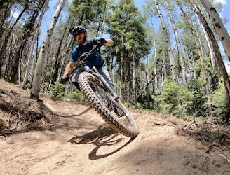
982 m away
Flowy, steep, and scenic.
Difficult Mountain Biking
2.2 km away
A loop incorporating the only climbing trail at Angel Fire Resort.
Difficult Mountain Biking
3.5 km away
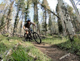
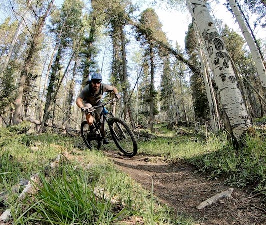
A quick pedal from Angel Fire leads to a beautiful aspen grove.
Moderate Mountain Biking
3.8 km away
An epic loop ride from downtown Angel Fire.
Difficult Mountain Biking
3.8 km away
A convenient beginner loop that's rideable directly from downtown Angel Fire.
Easy Mountain Biking
8.4 km away
An epic, challenging backcountry loop on little-ridden singletrack.
Difficult Mountain Biking
28 routes · Mountain Biking
5 routes · Mountain Biking