3 m away
Mount Algonquin & Iroquois Peak | C'est Notre Monde
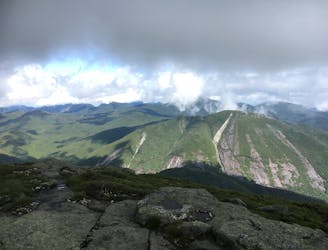
A Magnificent View of the Adirondacks
Severe Hiking
- Distance
- 19 km
- Ascent
- 1.2 km
- Descent
- 1.2 km
A hike in the heart of the High Peaks!
Hiking Difficult

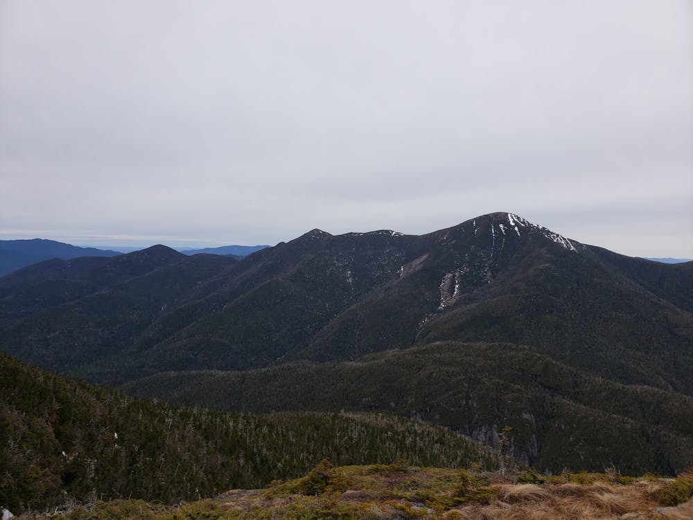
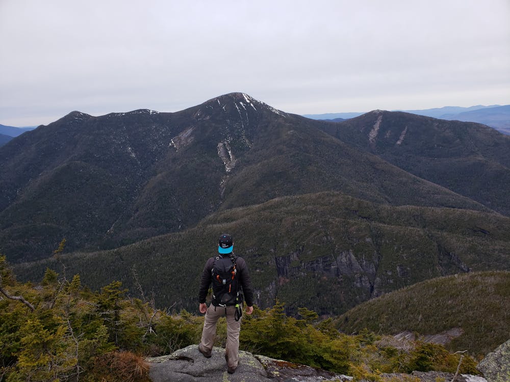
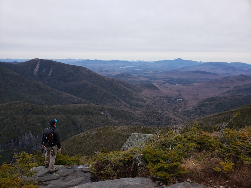
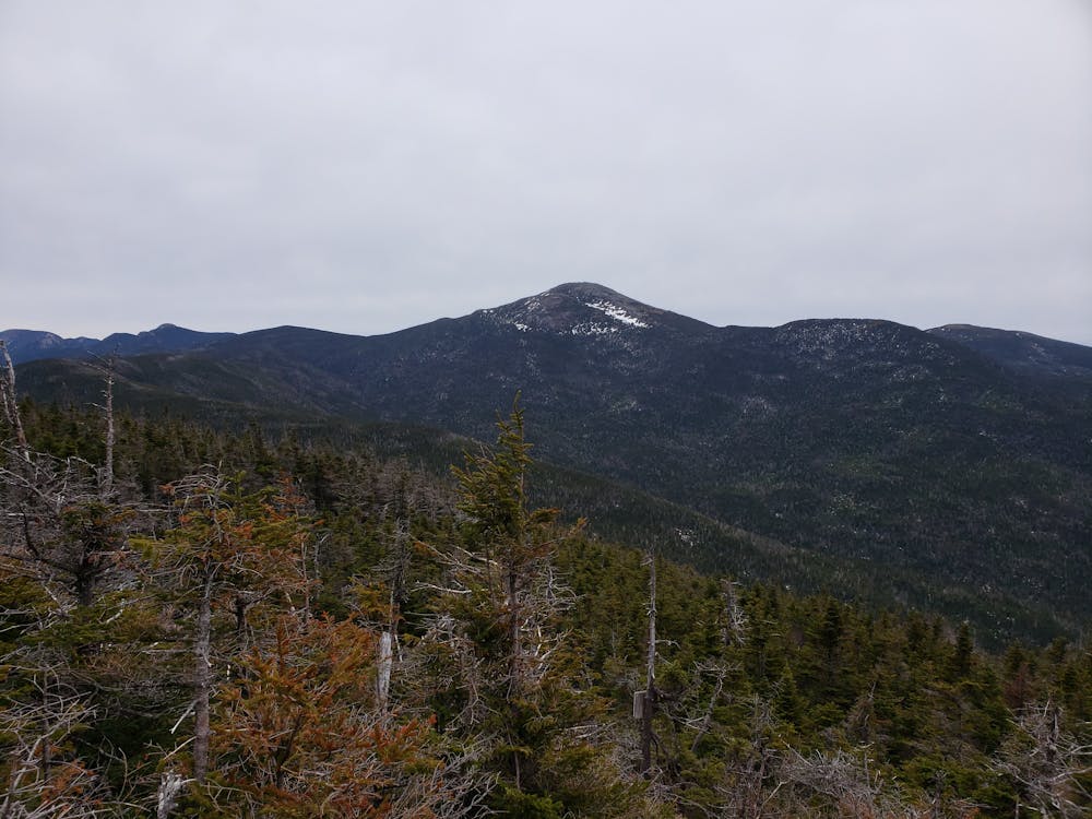
Located in the middle of the High Peaks, Mount Colden is the 11th highest peak in the Adirondacks. At its 1437 meters (4714 ft), you will have a breathtaking view the most popular mountains in the region: Mount Marcy and Mount Algonquin. In fact, Mount Colden is situated just in between the two. The path we recount will take you through charming forests, rivers and lakes and includes two peaks, which will make this hike worth your while.
https://www.cnotremonde.com/new-york/le-mont-colden/
Le mont Colden, situé dans les Adirondacks, dans l’état de New York aux États-Unis est le 11ème plus haut sommet du massif. Son ascension est longue et difficile mais les sentiers sont plein de charme. Forêts, rivières et lac sont au rendez-vous. Son sommet vous permet d’apercevoir les plus belles montagnes des Adirondacks.
Difficult
Hiking trails where obstacles such as rocks or roots are prevalent. Some obstacles can require care to step over or around. At times, the trail can be worn and eroded. The grade of the trail is generally quite steep, and can often lead to strenuous hiking.

The trail contains some obstacles such as outcroppings and rock which could cause injury.

Little chance of being seen or helped in case of an accident.
3 m away
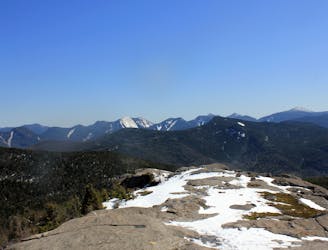
A Magnificent View of the Adirondacks
Severe Hiking
7.2 km away

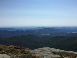
A unique panorama of the High Peaks
Moderate Hiking
7.2 km away
An easier hike bagging 2 of the 46 High Peaks.
Moderate Hiking
9.3 km away
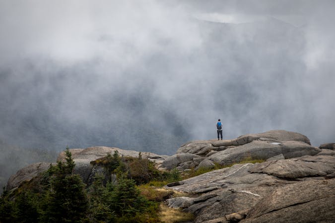
A spur connecting the Adirondack Great Range to Mount Marcy.
Difficult Hiking
9 routes · Hiking