2.9 km away
The Devil's Path
A rugged trail run bagging five of the Catskill High Peaks.
Severe Trail Running
- Distance
- 35 km
- Ascent
- 2.6 km
- Descent
- 2.6 km
A challenging trail run connecting three trails and summiting Sugarloaf Mountain.
Trail Running Severe

This popular but challenging trail run links the Pecoy Notch Trail to the Mink Hollow Trail, summiting Sugarloaf Mountain via the infamous Devil's Path.
Begin your run at the DEC Trailhead located along Dale Lane. Including nearby pull-offs, there is space for fewer than 10 vehicles. In the winter months, road closures make this trailhead inaccessible.
While some would suggest running the mountain from east to west, it can be done either way. Clockwise, the climbing is gradual but more sustained. Reversed, a relentless climb leads up Mink Hollow Trail and will put your legs and lungs to the test.
Keeping left at the first junction, follow the Pecoy Notch Trail as it climbs towards the Devil's Path. Along the way, you'll pass through an area known for its rock "chairs." Catskill Mountaineer even suggests they are "...the most elaborate rock structures in the Catskill Mountains." This elaborately constructed area even offers some partial views over Platte Clove Valley.
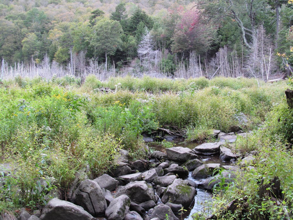
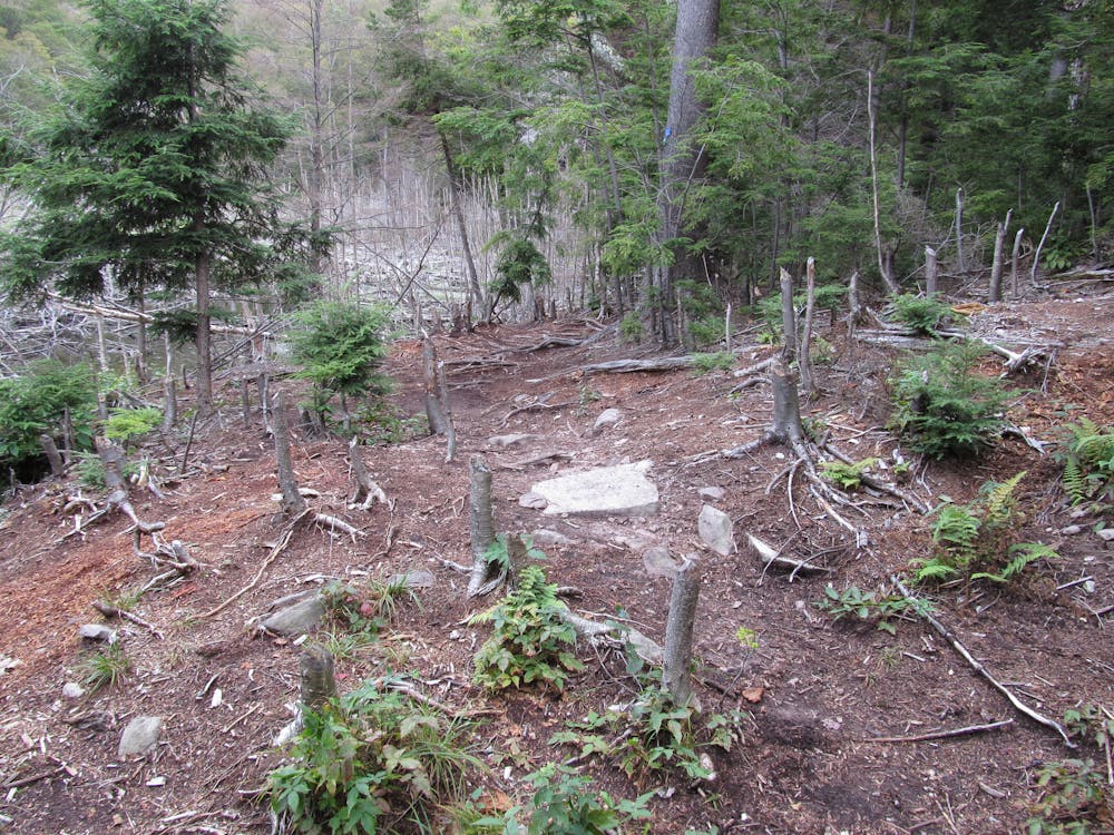
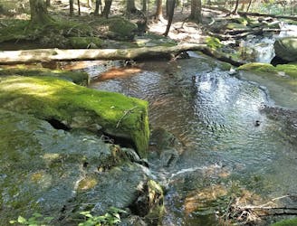
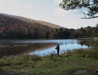
As you near the notch, you will cross over a wooden bridge before reaching a picturesque beaver pond. The entire area is riddled with beaver activity and the serene pond offers a beautiful backdrop for a photo.
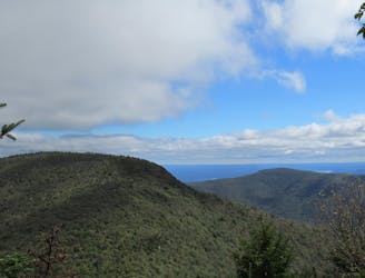
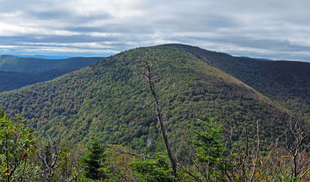
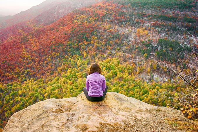
The Pecoy Notch Trail terminates at the Devil's Path, arguably one of the most challenging trails in the Catskills, if not the entire state. For an optional addition to this route, make the short—though steep—trek to the summit of Twin Mountain. Sweeping views of the Catskills' dramatic terrain make this one of the best overlooks in the region. It also offers a vantage to view both Sugarloaf Mountain and nearby Indian Head Mountain.
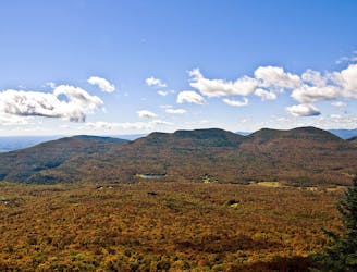
A final climb separates the notch from the 3,800-foot summit of Sugarloaf Mountain. As you are now on the Devil's Path, know that there is no easy portion ahead of you. The relentless rocky, rooted terrain makes hiking slow, often demanding three points of contact. Around 3,400', look for a short spur trail leading to a partial overlook. It's worth the view, and a reward for your efforts thus far.
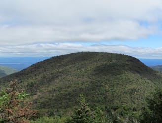
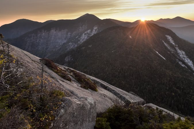
Expect no views from the official summit, but continue and look for a short spur trail denoted by yellow blazes. It's easy to miss, but offers a nice vista that sees few visitors.
Ahead, you have one of the most difficult stretches of the Devil's Path to traverse. Rocks and roots form an almost alien landscape as you descend off the western face of the mountain. The trail is extremely steep: watch your footing and use three points of contact when necessary.
Finish your run by returning on the Mink Hollow Trail. Though the brunt of the elevation change is over, this portion is still demanding, making you earn every step.
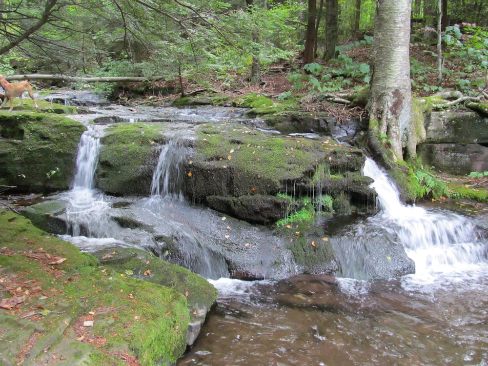
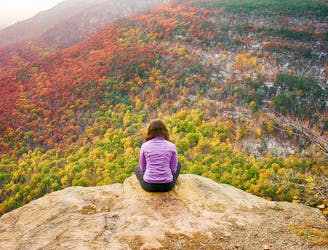
Mind the trail blazes closely as it can become easy to leave the trail as it follows a creek. A quaint stream cascades its way below a bridge and one final overlook denotes the run is nearly over. At the junction with the Pecoy Notch Trail, keep left and return to the trailhead to round out your run.
Sources: http://www.catskillmountaineer.com/IH-sugarloaf.html
Severe

Some trail sections have exposed ledges or steep ascents/descents where falling could cause serious injury.
Little chance of being seen or helped in case of an accident.
2.9 km away
A rugged trail run bagging five of the Catskill High Peaks.
Severe Trail Running
2.9 km away
A relentless trail run to the summit of Indian Head Mountain.
Severe Trail Running
4.5 km away
A popular route to summit the Kaaterskill High Peak.
Difficult Trail Running
4.5 km away
A short run in the Catskills to an killer vista at Huckleberry Point.
Moderate Trail Running
8.9 km away
An intense, lesser-traveled approach to the Kaaterskill High Peak.
Severe Trail Running
8.9 km away
A trail run in the Catskills with a historic fire tower and serene lake.
Difficult Trail Running
7 routes · Trail Running
11 routes · Trail Running