19 m away
Curtis Creek -> Buck Creek Loop
A steep gravel grind paired to a long road descent down NC-80.
Difficult Gravel Biking
- Distance
- 57 km
- Ascent
- 1.5 km
- Descent
- 1.5 km
A steep lollipop loop up Curtis Creek and down to the South Toe River.
Gravel Biking Severe

A quick look at the elevation profile for this loop, and you'll quickly understand why this route has been rated as severe. Unless you prefer hiking your bike to riding it, low gearing is a must to ride this loop. Many locals have completed this on a gravel bike, but this would also be a great loop on a hardtail—or even a full suspension bike if the trails are too muddy to ride.
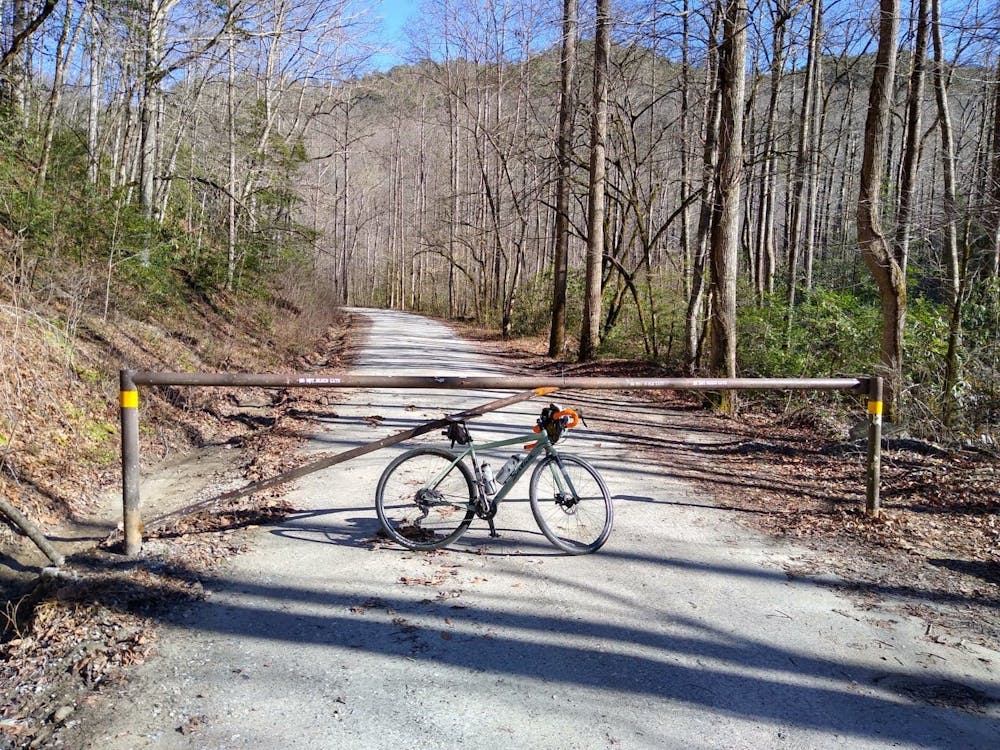
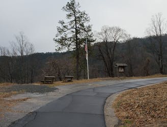
This start/finish of this route is located approximately at the forest service gate at the bottom of Curtis Creek Road. Even if the gate is closed, there is room for a couple of cars. Both Marion and Old Fort have plenty of options to start this ride as well. Near the gate, you'll find a placard recognizing the Curtis Creek as the first official tract of Pisgah National Forest purchased under the 1911 Weeks Act. In many ways, the area laid the foundation for how the government both creates and manages public lands across the country.
Curtis Creek is closed to vehicles during the winter and early spring due to freeze/thaw cycles that affect the condition of the road. Though you could attempt this loop any time of year, its best left alone during the winter unless there is a stretch of unseasonably warm weather. Keep in mind that the Blue Ridge Parkway could be 10 - 20 degrees colder (without wind chill) than the surrounding cities of Asheville, Charlotte, or Raleigh.
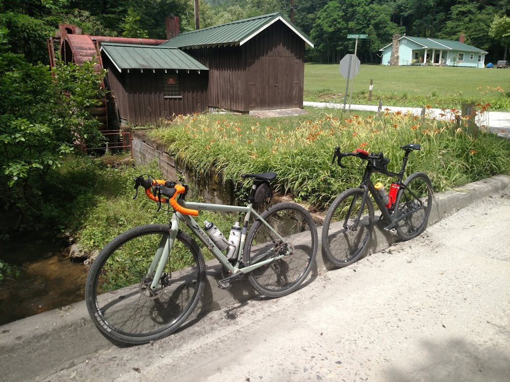
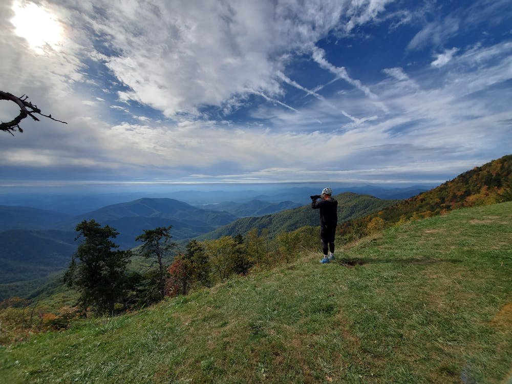
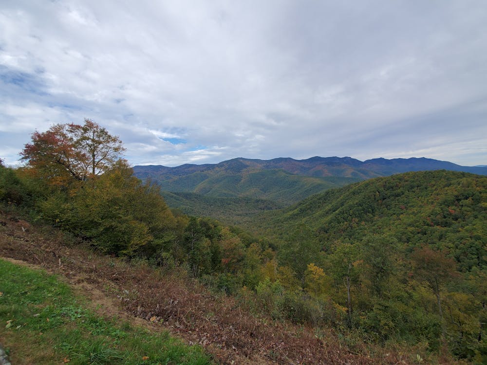
After the long climb up Curtis creek, the loop portion of the lollipop is best ridden counter-clockwise. Cross the Parkway and prepare for a fast, steep descent down to the South Toe River. The Black Mountain Campground is located at the bottom and a great option if you're looking to turn this into an overnight bikepacking trip. If not, keep climbing up South Toe River Road back to the Parkway. It's somewhat gradual at first, then gets steeper as you get to the top.
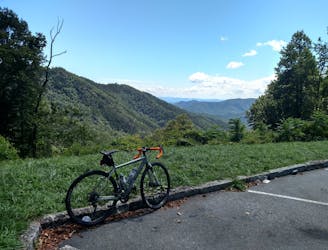
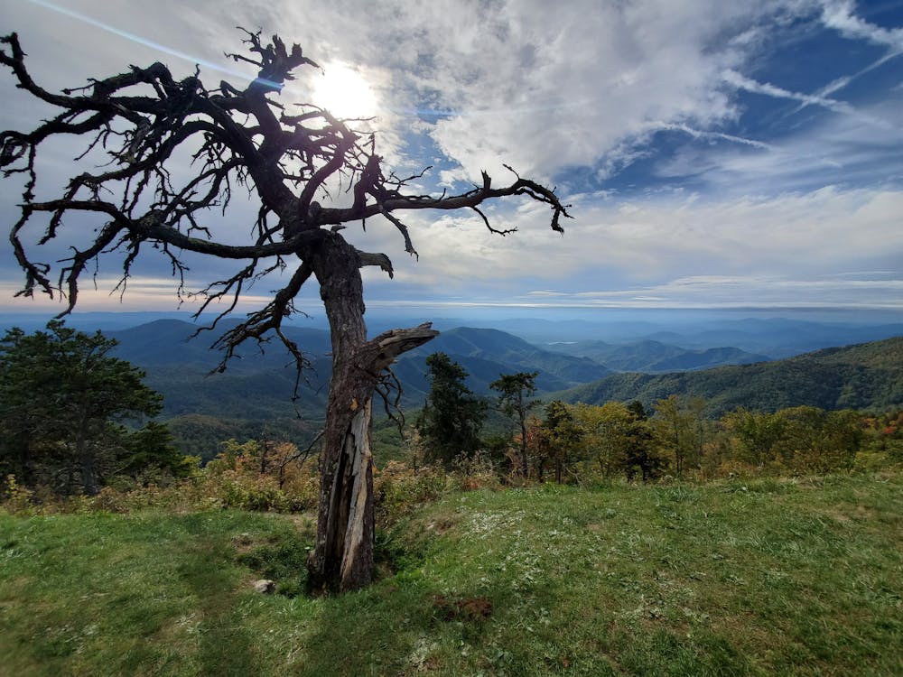
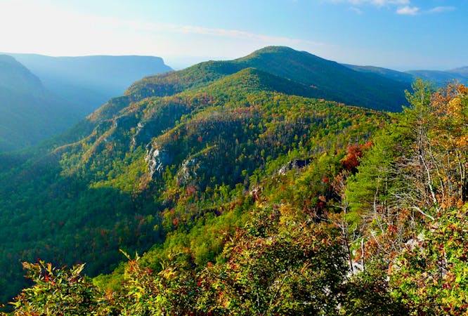
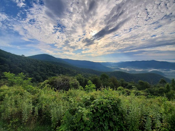
This segment of the BRP offers several beautiful overlooks, including Laurel Knob and a view of Mount Mitchell. Bear in mind, however, that the roadway is considered to be one of the top scenic drives anywhere in America, so both front and rear blinking lights are always recommended since many drivers are often directing their attention at views along the roadway - instead of ahead of them as they should be.
Severe

Little chance of being seen or helped in case of an accident.
19 m away
A steep gravel grind paired to a long road descent down NC-80.
Difficult Gravel Biking
4.8 km away
A half-gravel, half-greenway loop near Old Fort.
Moderate Gravel Biking
7 routes · Gravel Biking
10 routes · Gravel Biking