4.8 km away
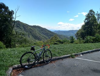
Curtis Creek -> South Toe Gravel Loop
A steep lollipop loop up Curtis Creek and down to the South Toe River.
Severe Gravel Biking
- Distance
- 41 km
- Ascent
- 1.3 km
- Descent
- 1.3 km
A half-gravel, half-greenway loop near Old Fort.
Gravel Biking Moderate

This half-gravel, half-greenway loop is a great alternative when the Kitsuma Loop is too muddy, snowy, or wet. Though Pisgah is renowned as an all-seasons destination, Kitsuma is composed heavily of clay and is one of the worst options to ride during or immediately after wet weather. Don't let the wet weather sway you though, this ride is loaded with plenty of views and is never too challenging!
As mapped, this route begins at Andrew's Geyser along Mill Creek Road. You could also begin at the Old Fort Picnic Area. Since few understand the historical significance of the Geyser, we've included the following excerpt from this Wikipedia article:
"The fountain was constructed in 1885 with a dual purpose: it was a feature of the Round Knob Hotel, and a tribute to the approximately 120 men who died building the railroad through this particularly treacherous stretch of land, that culminates with the crossing of the Eastern Continental Divide through the Swannanoa Tunnel." The railroad can be seen throughout this ride, and you will even cross over one of its many tunnels while on the Point Lookout Greenway.
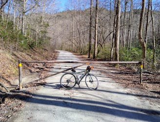
Clockwise is the best way to ride the loop. Begin by riding down Mill Creek Road, then keep right on Old Highway 70 - look for the Old Fort Picnic Area. From here, the road continues for a few minutes before ending at a gate to the Point Lookout Greenway (sometimes listed as the Point Lookout Trail).
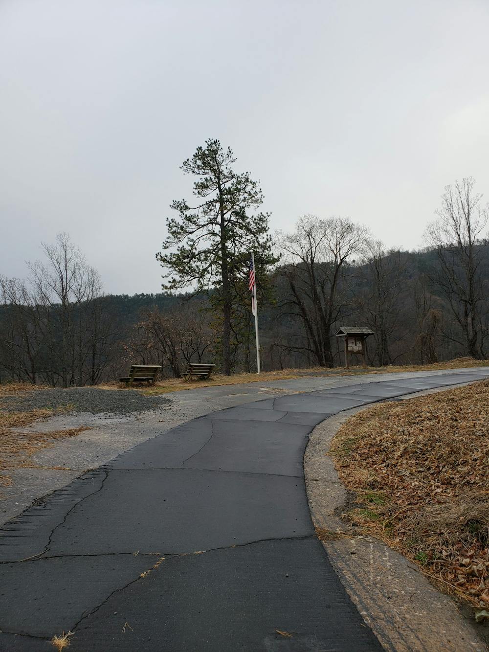
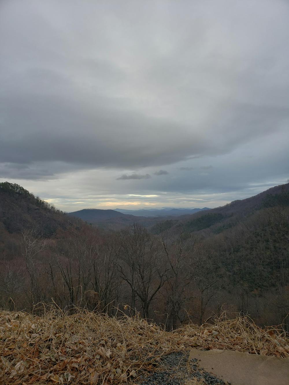
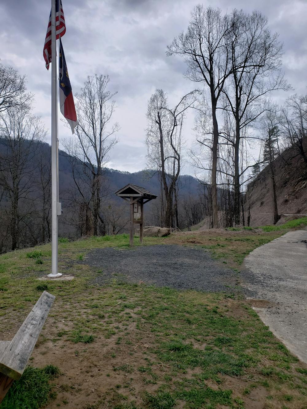
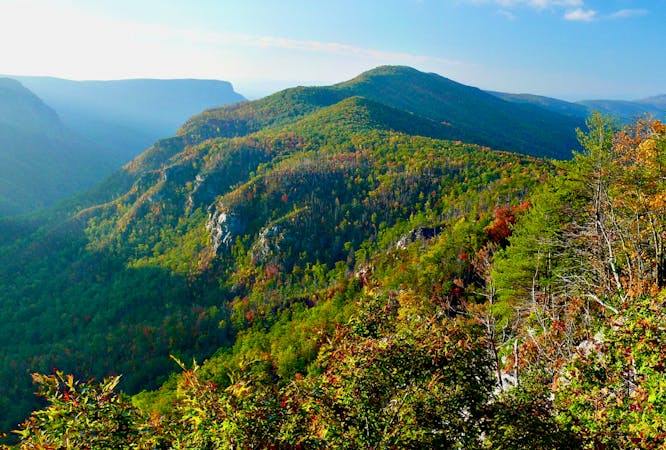
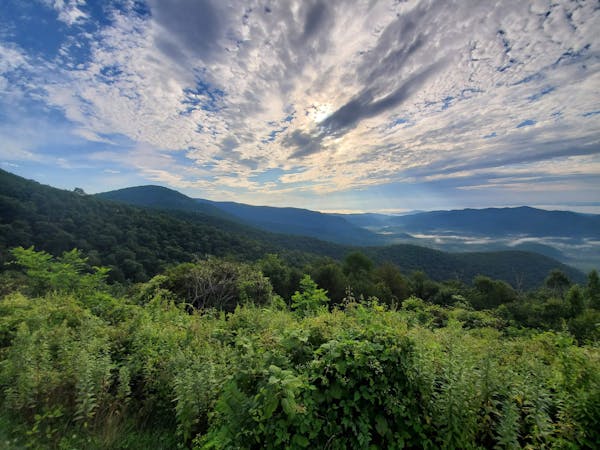
The climb is somewhat gradual but still challenging. Several overlooks line the way, including one prominent one near the top with a bench so you can stop to catch your breath. The view to the east is stunning.
As you near the very top, the greenway passes over the aforementioned railroad tunnel, then levels out before reaching the upper gate. Keep an eye out for a sharp, near 180-degree turn to get onto Mill Creek Road. This section of the ride is unpaved and only suitable for a gravel or mountain bike. It's also entirely downhill, so sit back, relax, and enjoy the ride all the way back to your vehicle.
Moderate

Away from help but easily accessed.
4.8 km away
A steep lollipop loop up Curtis Creek and down to the South Toe River.
Severe Gravel Biking
4.8 km away
A steep gravel grind paired to a long road descent down NC-80.
Difficult Gravel Biking
7 routes · Gravel Biking
10 routes · Gravel Biking