8.5 km away
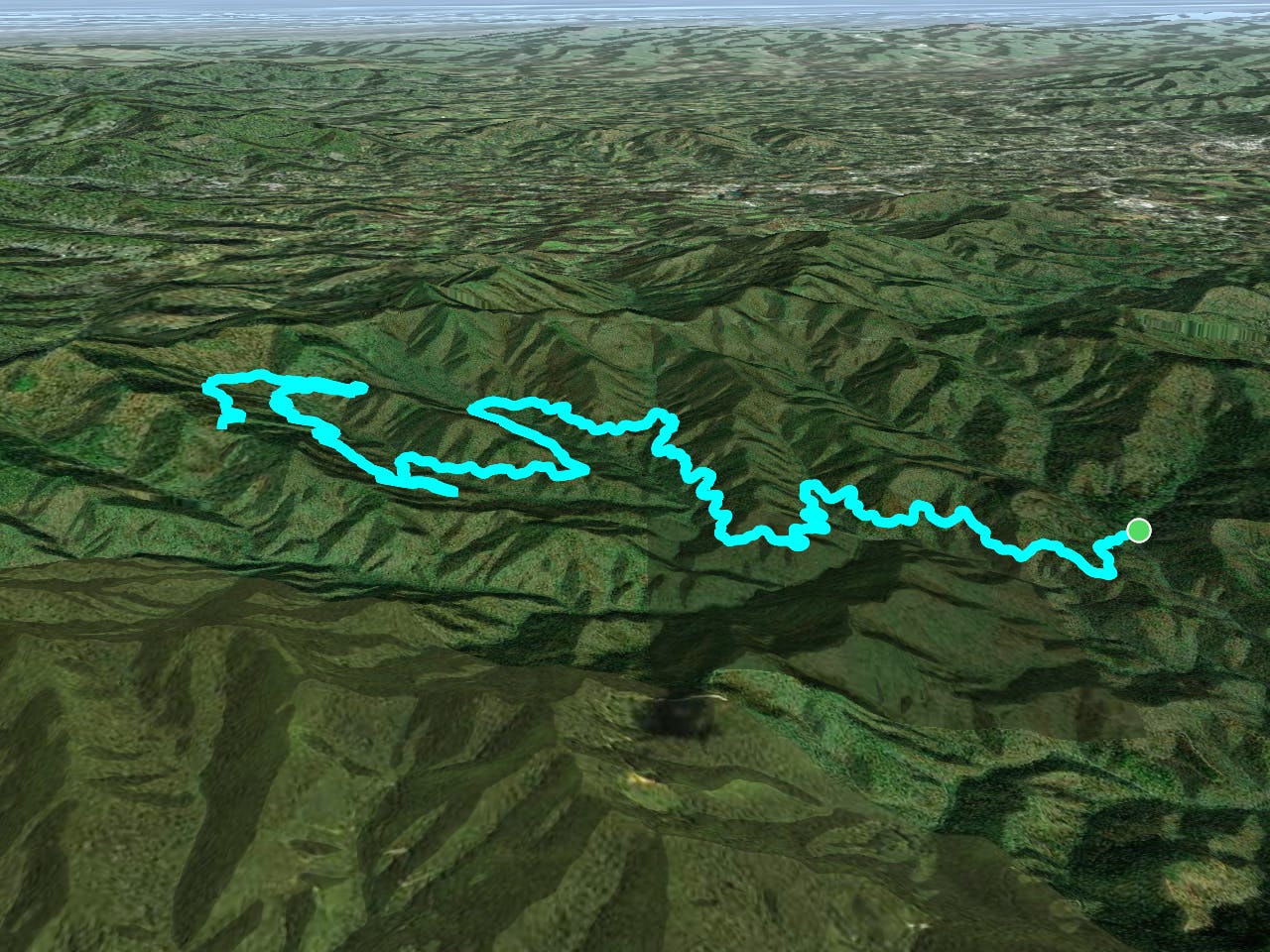
Bent Creek / Arboretum Gravel Tour
A gravel tour of Bent Creek Experimental Forest and the NC Arboretum.
Moderate Gravel Biking
- Distance
- 29 km
- Ascent
- 537 m
- Descent
- 537 m
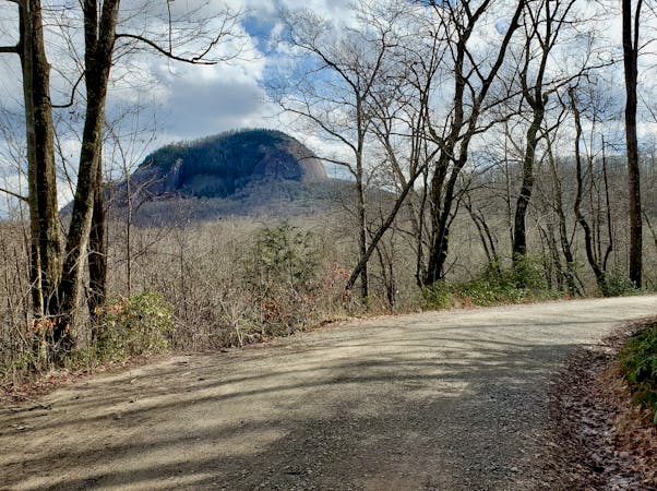
A gated, dead-end road perfect as a gravel grind or overnight bikepacking trip.
Gravel Biking Moderate
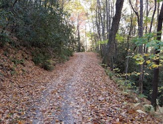
Locals refer to this as "Neverending Road," though its official number designation is FS-5097. It's a great option for a long, quiet out-and-back gravel grind or as an overnight bikepacking trip. The route passes countless streams and gets quieter the further you go. Compared to most Pisgah rides, this route is relatively flat, climbing only 2,200' over ~25 miles total. The gravel road hugs the contours of the mountains and steers clear of any steep climbs.
As mapped, this route begins on Wash Creek Road at the bottom of Bear Branch Trail. This is widely recognized as the start of Neverending Road, but not every map references it that way. There is a gate on Wash Creek Road that typically closes during the winter during freeze and thaw cycles, but there are no exact dates listed. Parking is available for less than a dozen cars. Alternatively, you could park anywhere along Wash Creek Road or North Mills River Road to begin your ride.
Neverending Road intersects several trails, including Trace Ridge, Spencer Gap, Fletcher Creek, and Middle Fork. The first of those three are extremely popular as downhill mountain bike trails, so it's likely you may cross paths with a few of them starting or ending their ride. Should the singletrack be too muddy to ride, this route makes a great alternative to still bag some miles without damaging the trails. Though Pisgah has earned a reputation as an all-seasons destination, many trails are still susceptible to erosion and damage if ridden during or immediately after rain.
Moderate

Little chance of being seen or helped in case of an accident.
8.5 km away
A gravel tour of Bent Creek Experimental Forest and the NC Arboretum.
Moderate Gravel Biking
7 routes · Gravel Biking
10 routes · Gravel Biking