2.6 km away
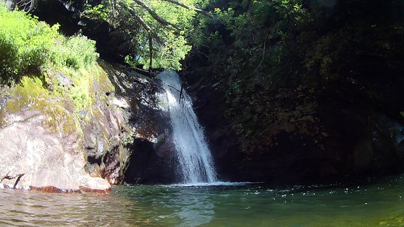
Catawba Falls
A family-friendly hike to one of North Carolina's best waterfalls.
Moderate Hiking
- Distance
- 3.4 km
- Ascent
- 98 m
- Descent
- 98 m
A local classic with epic views and easy access from town.
Hiking Difficult

Kitsuma is arguably one of the best trails within Pisgah National Forest. Located just a few minutes off of Interstate 40, it's easily-accessible for both locals and those traveling in from the eastern half of the state.
There are two ways to tackle this loop—one beginning at the top of Kitsuma, and the other at the bottom. Beginning at the bottom, you'll have a 4+ mile climb up the Point Lookout Trail, followed by another mile or so to the Kitsuma Trailhead.
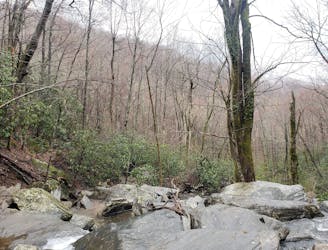
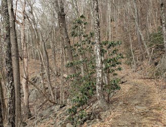
A few landslides have damaged the paved path over the years, but everything can still be traversed on foot. As you near the top, you'll pass by an overlook with a bench just before crossing over an active railroad tunnel.
At the end of the greenway, continue straight onto the road until taking the left onto Royal Gorge Road. At the end of this dead-end road, you'll be at the Kitsuma Trailhead. This is the other parking area that you could begin at.
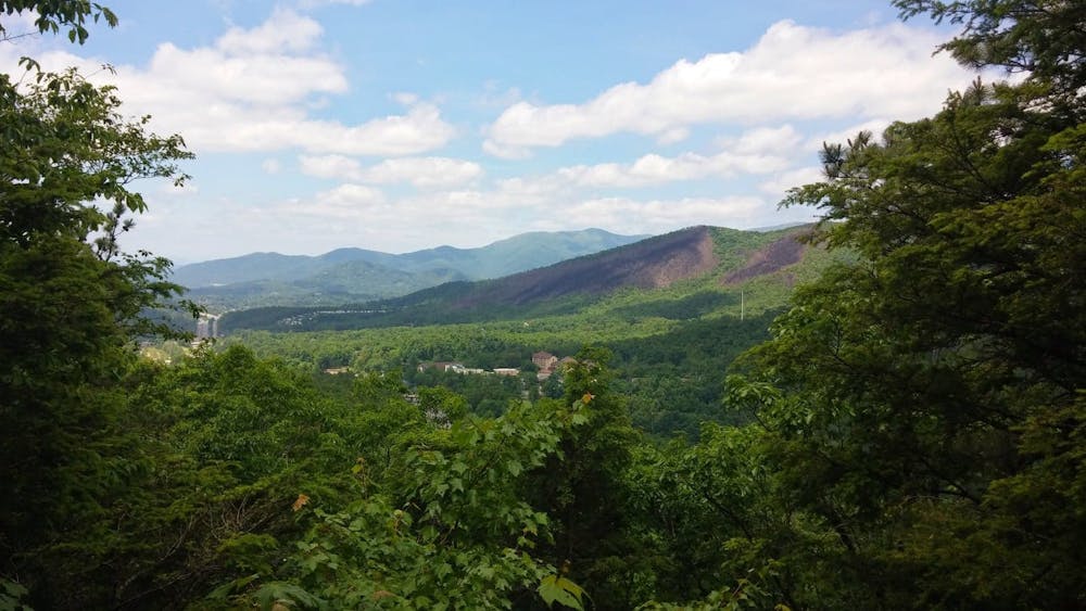
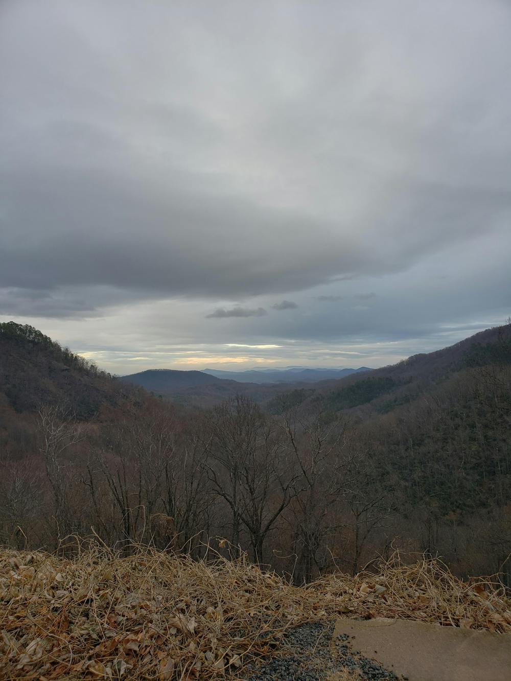
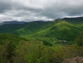
The first bit of the trail is tight as you ascend a series of switchbacks up to Kitsuma Peak. Just below the summit, a popular overlook serves a great place to take a quick break before beginning the descent. After a short descent from the overlook, you'll have one final push up to another high point before continuing along the ridge. A few vantage points to the north will give you views of the distant Mount Mitchell, the highest mountain east of the Mississippi River.
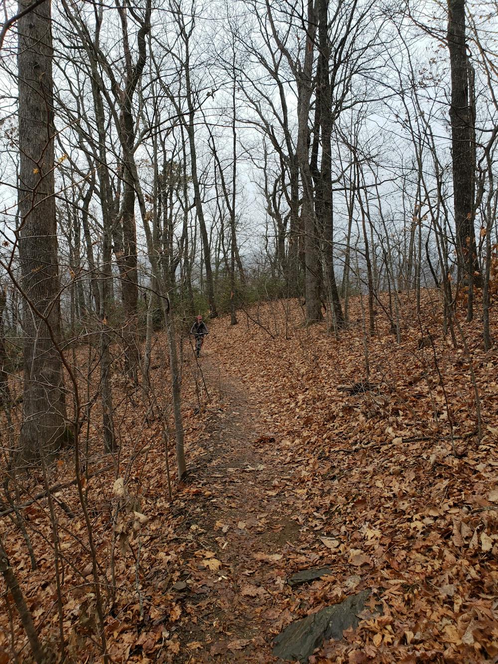
As you get further down the ridge, the trail begins to steepen as you approach the Old Fort Picnic Area, the end of the loop. Watch your footing and be mindful of other trail users, particularly mountain bikers, who also frequent this trail.
Difficult
Hiking trails where obstacles such as rocks or roots are prevalent. Some obstacles can require care to step over or around. At times, the trail can be worn and eroded. The grade of the trail is generally quite steep, and can often lead to strenuous hiking.

The trail contains some obstacles such as outcroppings and rock which could cause injury.

Close to help in case of emergency.
2.6 km away
A family-friendly hike to one of North Carolina's best waterfalls.
Moderate Hiking
6.5 km away
A scenic, yet demanding, loop highlighting some of the best views in Montreat.
Difficult Hiking
7.4 km away
A must-do summit hike not far from Asheville.
Difficult Hiking
6 routes · Hiking
8 routes · Hiking · Trail Running