1.9 km away
Graybeard Mountain Trail
A must-do summit hike not far from Asheville.
Difficult Hiking
- Distance
- 15 km
- Ascent
- 727 m
- Descent
- 727 m
A scenic, yet demanding, loop highlighting some of the best views in Montreat.
Hiking Difficult

This route is one of the best ways to experience some of Montreat's premier views. Located about 15 minutes from Interstate 40, and just north of Black Mountain, this area is a favorite among many. According to Montreat.org, the extensive, yet elusive, trail network includes 20 trails and over 40 miles as of 2019.
Begin your hike at the trailhead along Lookout Road. There are a couple of small unpaved parking areas, with plenty of additional parking along the road.
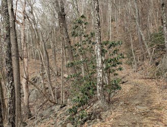
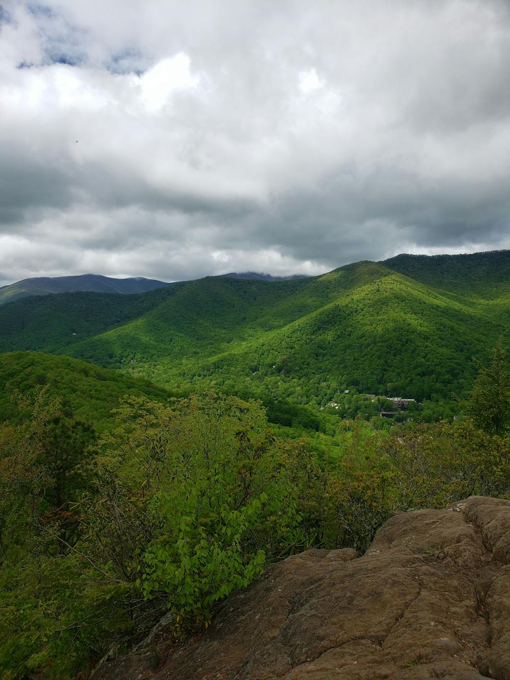
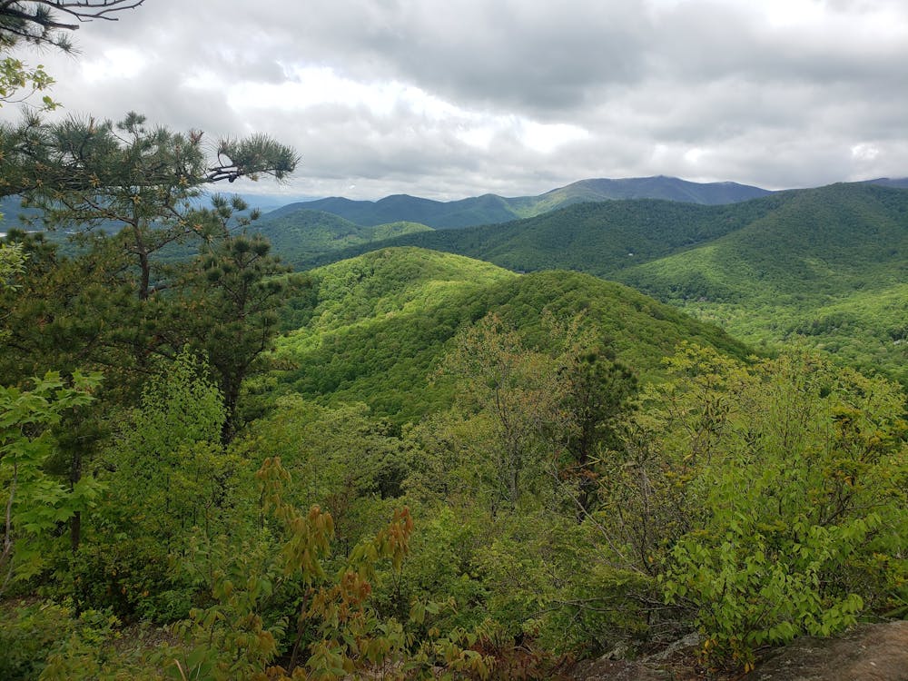
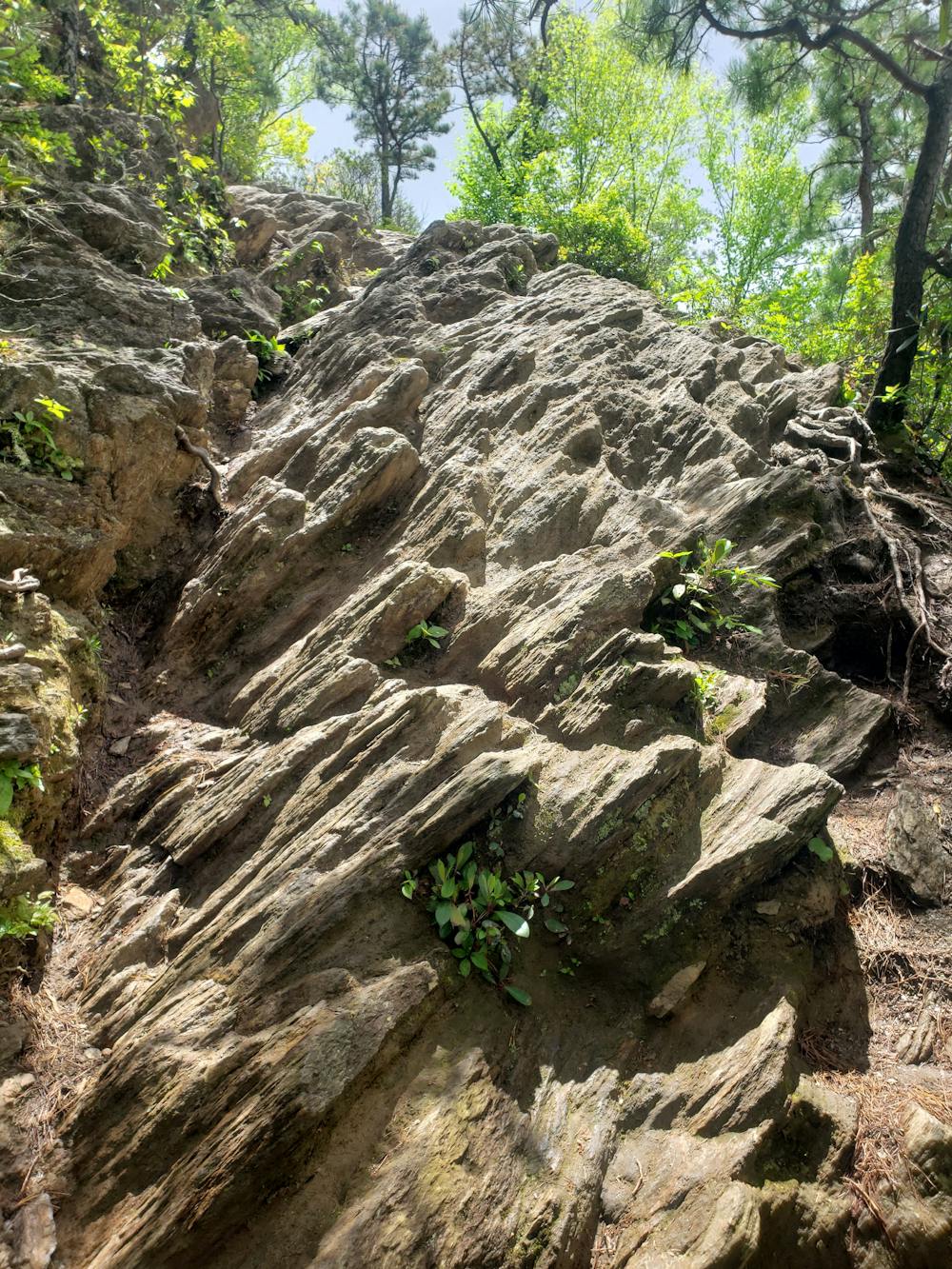
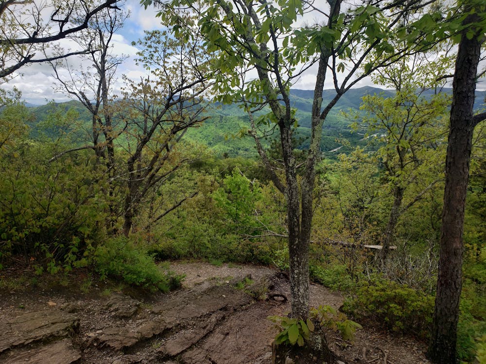
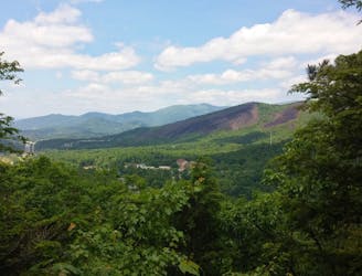
The loop begins with a steep, demanding hike to the summit of Lookout Mountain. As you near the peak, the trail ascends in a stair-like manner before scrambling up a rock outcropping. Atop the summit, soak in the incredible views to the west—an excellent reward for your effort. While there are plenty more views on this route, many opt for an out-and-back to this viewpoint for a shorter hike.
Ahead, the loop follows rugged, narrow singletrack across a ridgeline on the East Ridge Trail. Passing Boggs Bunion, the trail heads north to Brushy Mountain, where you'll be welcomed with even more views. At times, you may be able to catch a glimpse of Mount Mitchell to the north, the highest peak east of the Mississippi River.
The return trip follows Old Trestle Road in a steady descent back to the junction with the Lookout Mountain Trail. Head downhill to return to the trailhead and end your hike.
Difficult
Hiking trails where obstacles such as rocks or roots are prevalent. Some obstacles can require care to step over or around. At times, the trail can be worn and eroded. The grade of the trail is generally quite steep, and can often lead to strenuous hiking.

Some trail sections have exposed ledges or steep ascents/descents where falling could cause serious injury.
Little chance of being seen or helped in case of an accident.
1.9 km away
A must-do summit hike not far from Asheville.
Difficult Hiking
6.4 km away
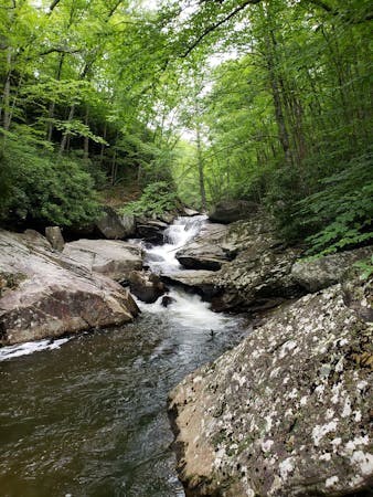
A family-friendly hike to one of North Carolina's best waterfalls.
Moderate Hiking
6.5 km away
A local classic with epic views and easy access from town.
Difficult Hiking
6 routes · Hiking
8 routes · Hiking · Trail Running