2.7 km away
Mile High Swinging Bridge
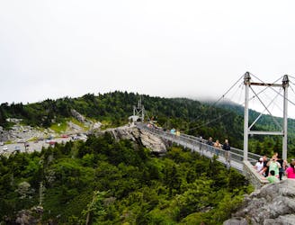
An out-and-back with stunning views from the Mile High Swinging Bridge in Grandfather Mountain SP.
Moderate Hiking
- Distance
- 1.7 km
- Ascent
- 82 m
- Descent
- 82 m
A difficult and steep path connecting NC-105 to the highest point on Grandfather Mountain, Calloway Peak.
Hiking Difficult

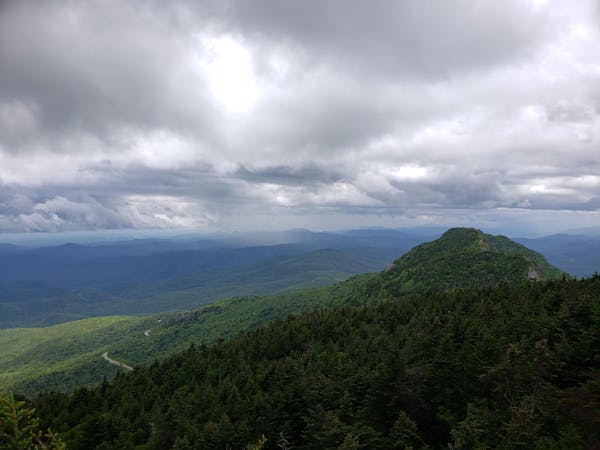
The Profile Trail is an incredibly difficult route to the highest point on Grandfather Mountain. It's a popular—but equally challenging—hike via the Daniel Boone Scout Trail, and two named overlooks near the trail's midpoint offer excellent views along the trail. Of course, those who push all the way to the 5,919-foot summit will enjoy standing beneath dark stands of spruce and fir, plus stunning views from Calloway Peak!
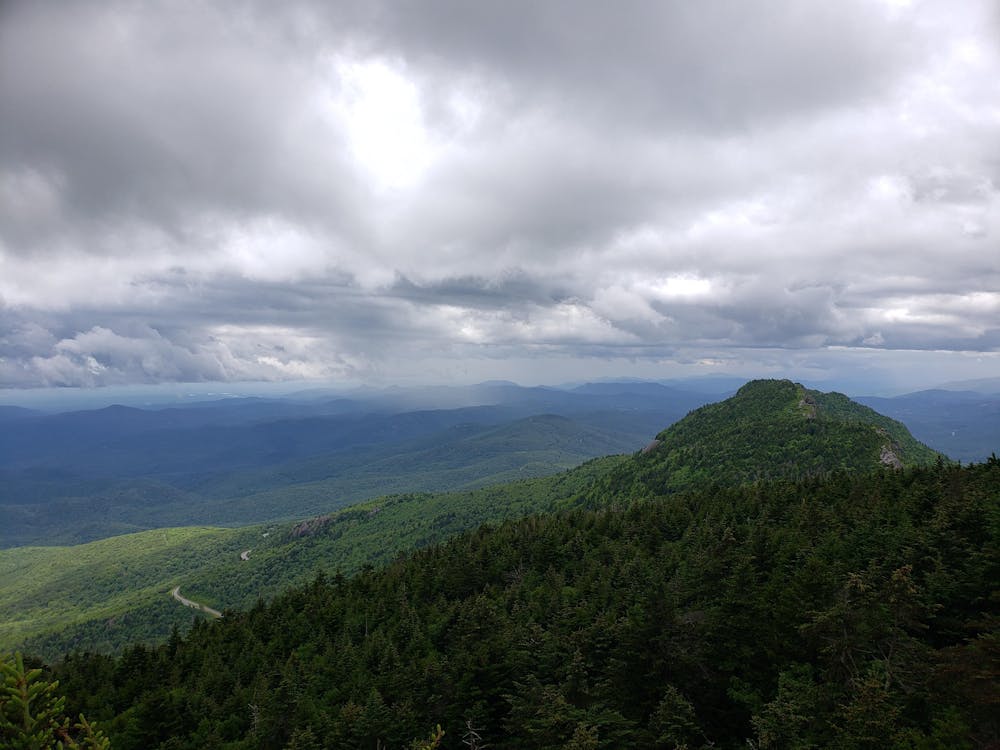
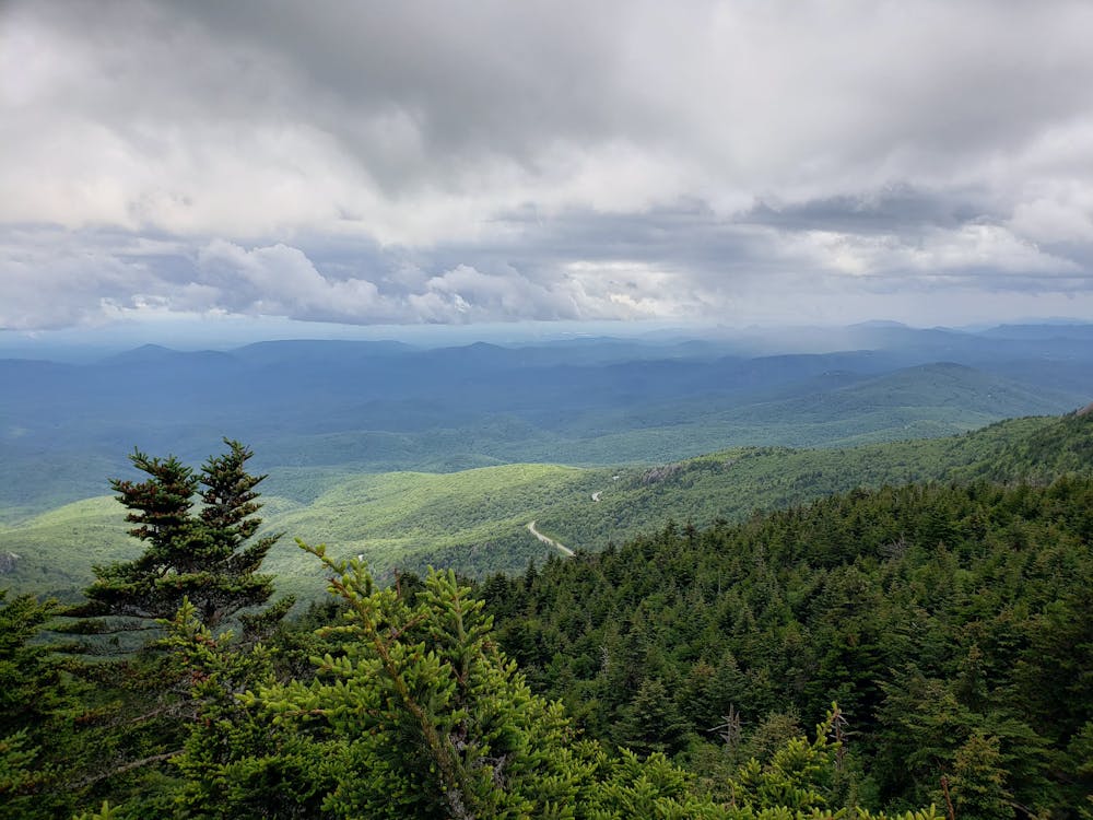
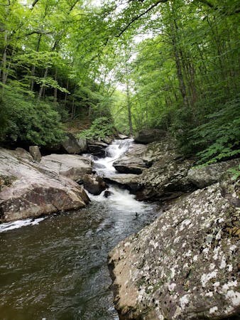
As one of the classic hikes in the state park, the trail climbs a stout ~1,800' in just 3.6 miles. A rolling climb also means you'll have a little bit of climbing on the way back down. Longer point-to-point hikes are a great option if you have two vehicles and the park notes the array of seasonal wildflowers you can observe through the warmer months. Fall colors begin to arrive between October and November and add another layer of beauty to this difficult hike.
Parking is available on NC-105 on the northern slopes of the mountain. Due to steep and rocky terrain, pets are not recommended on the upper section of the trail, but are not entirely prohibited. High water is also a possibility at the lower creeks, so save this hike for another day if it's been raining recently.
Difficult
Hiking trails where obstacles such as rocks or roots are prevalent. Some obstacles can require care to step over or around. At times, the trail can be worn and eroded. The grade of the trail is generally quite steep, and can often lead to strenuous hiking.
2.7 km away
An out-and-back with stunning views from the Mile High Swinging Bridge in Grandfather Mountain SP.
Moderate Hiking
3.5 km away
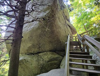
A short hike to a unique rock formation, and a great opportunity to stretch your legs after a drive.
Moderate Hiking
3.9 km away
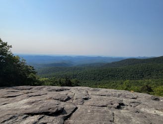
A short hike beneath Grandfather Mountain with spectacular views of the surrounding Blue Ridge.
Moderate Hiking
4 km away
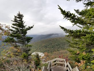
A scenic short hike to a rocky overlook with sweeping views.
Moderate Hiking
4.7 km away
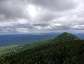
A classic - yet difficult - hike to Calloway Peak in Grandfather Mountain State Park.
Difficult Hiking
9.8 km away
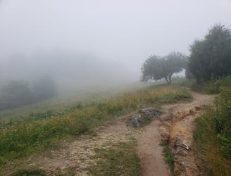
A beautiful loop including a high country meadow and pristine waterfalls.
Difficult Hiking

10 routes · Hiking

16 routes · Hiking
8 routes · Hiking · Trail Running
6 routes · Hiking