3.9 km away
Wilderness & Frolicktown Falls
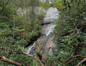
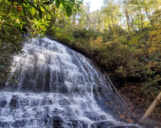
A short hike in Panthertown with two waterfalls and an impressive overlook of the valley.
Difficult Hiking
- Distance
- 3.2 km
- Ascent
- 112 m
- Descent
- 112 m
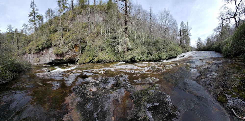
A long, steady waterfall with a cavernous overhang, deep potholes, and unique flora - deep in Panthertown Valley.
Hiking Moderate

Red Butt Falls is one of Pantertown Valley's most elusive waterfalls, and one that would leave your bottom red if you tried to slide down it. Though it could be fun to explore the falls and its numerous "potholes" in detail during low water, a cavernous overhang at the base of the falls offers the best view to enjoy the falls. Gnarled hemlocks, killed by the hemlock woody adelgid, can be seen towering along the banks of the river, though recent conservation efforts have produced a healthy habitat for hemlocks in nearby sections of the valley.
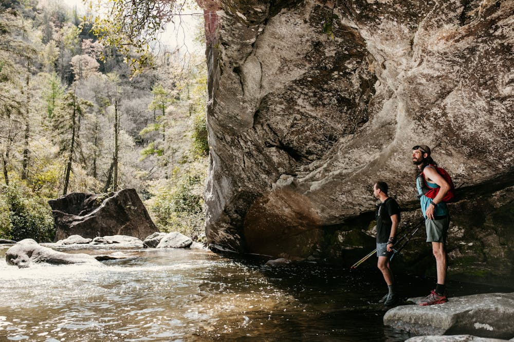
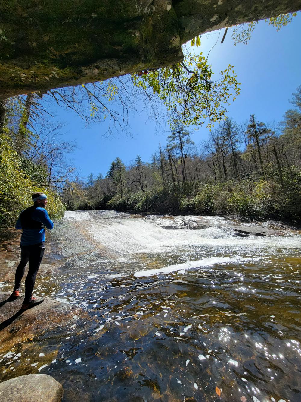
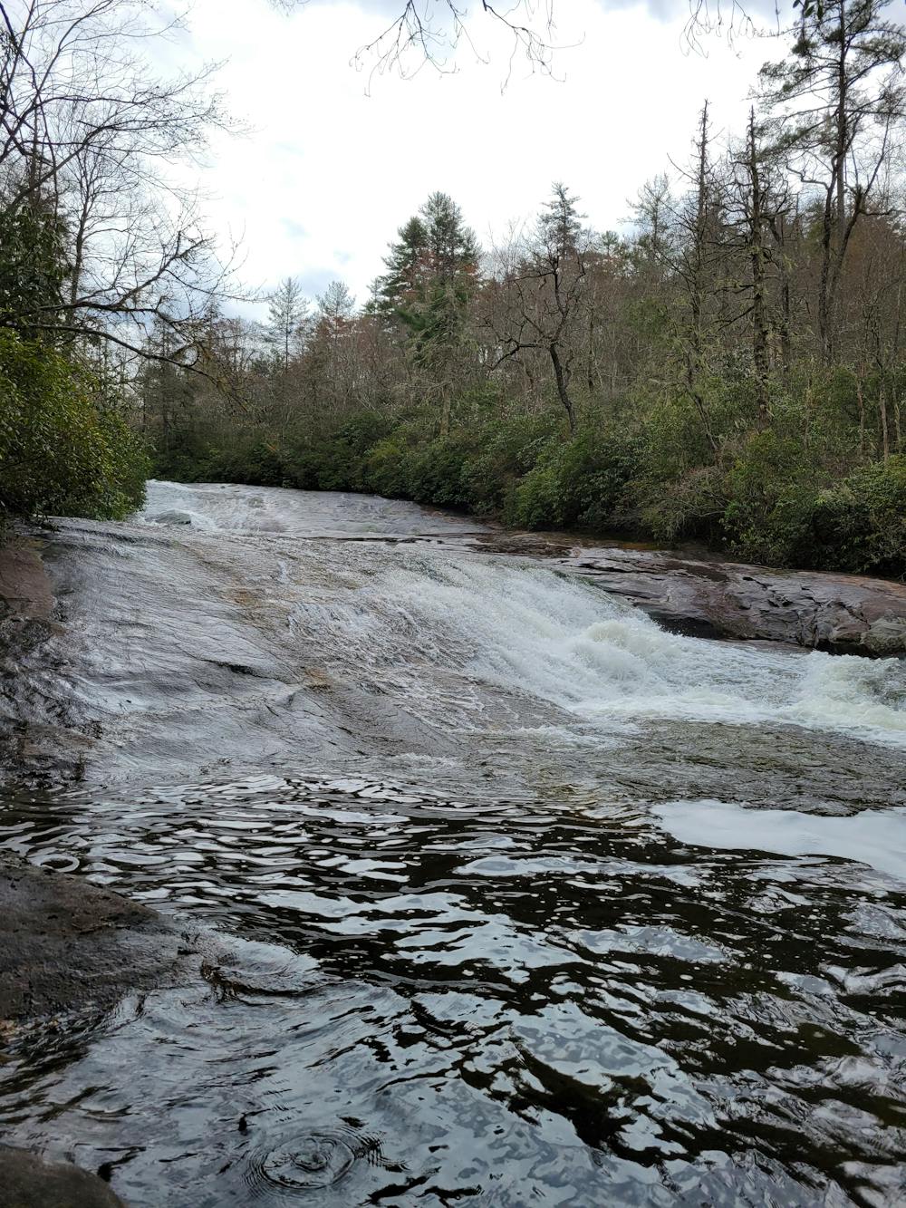
Most of the hike is downhill, so know that the return trip will be more difficult than you expect. A unique selection of wild flora and fauna also accompany this hike, including liverwort, a non-vascular plant that grows on the underside of the cavernous overhang. As you stand there, also note how the rhododendron and mountain laurel are growing along the rock at unsuspecting angles and along cracks, paying homage to the plants' versatility and resilience in harsh conditions.
Panthertown Valley has two main trailheads: Cold Mountain and Salt Rock. Cold Mountain offers the best and most direct access to the falls, which is how it is mapped here. There are no restrooms or potable water at the trailhead, and it is a deceivingly long drive from town - so make sure you bring everything you need with you.
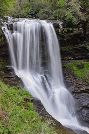
Should you have the time, and a copy of the Burt Kornegay's Map, other nearby waterfalls to consider include Schoolhouse Falls, Warden Falls, Riding Ford Falls, and the aforementioned Elbow Falls. If you'd like to explore Panthertown with a local guide, reach out to White Dot Adventures to inquire about guided excursions in the valley.
Moderate
Hiking along trails with some uneven terrain and small hills. Small rocks and roots may be present.

The trail contains some obstacles such as outcroppings and rock which could cause injury.

Little chance of being seen or helped in case of an accident.
3.9 km away
A short hike in Panthertown with two waterfalls and an impressive overlook of the valley.
Difficult Hiking
7.5 km away
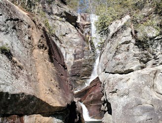
A steep trail with fixed ropes leading to one of the most spectacular waterfalls in Western North Carolina.
Difficult Hiking
5 routes · Hiking
10 routes · Hiking