3 km away
Appalachian Trail: Winding Stair Gap to Nantahala Outdoor Center
A beautiful trek across Wayah and Wesser Balds.
Difficult Hiking
- Distance
- 43 km
- Ascent
- 1.9 km
- Descent
- 2.5 km
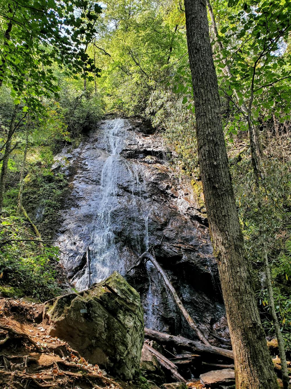
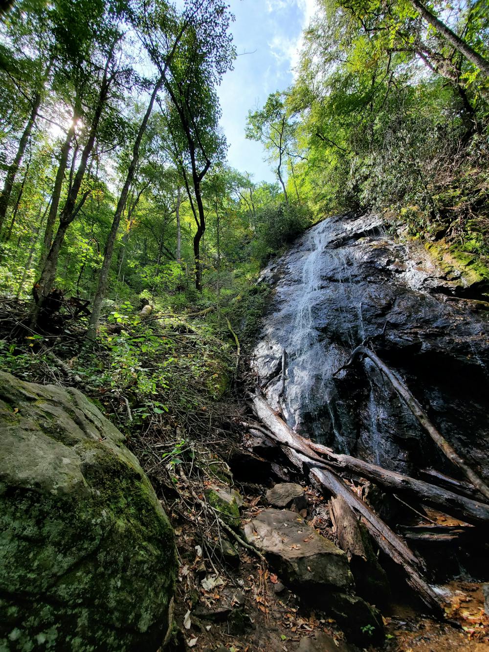
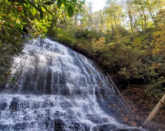
A short day hike west of Franklin to a quiet 70' waterfall.
Hiking Moderate

Rufus Morgan Falls is a nice, quiet hike west of Franklin that sees far less traffic than you'd expect. The falls, which measure upwards of 70', are best enjoyed on this moderate ~1-mile loop, and the ease of the trail makes it a destination that everyone in the family will enjoy. In April and May, the spring wildflowers are absolutely stunning, while the changing colors of fall paint the forest with vibrant hues of red, orange, and yellow.
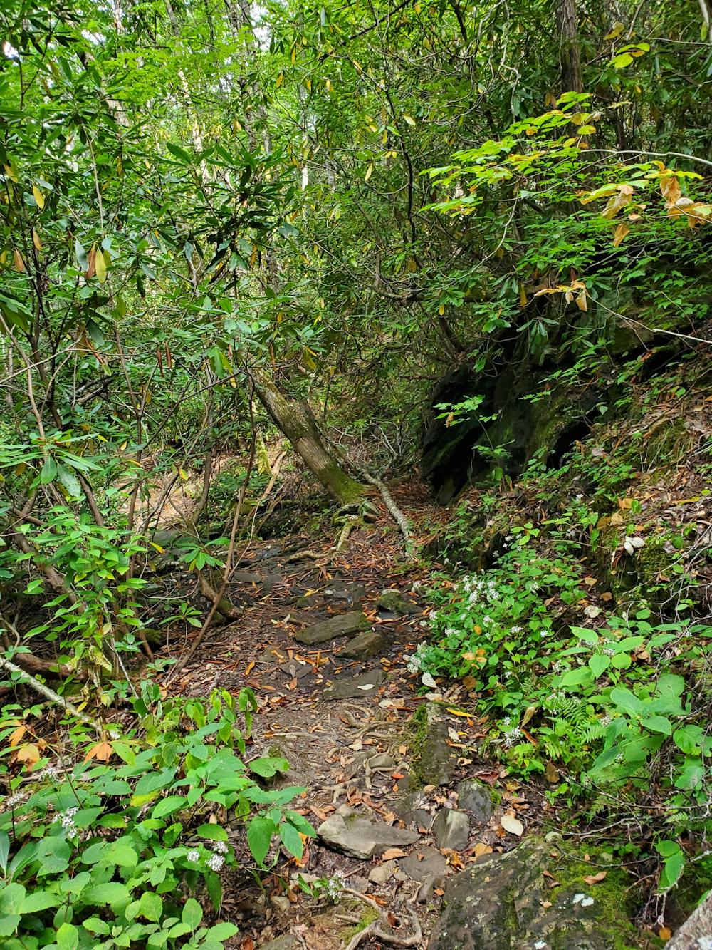
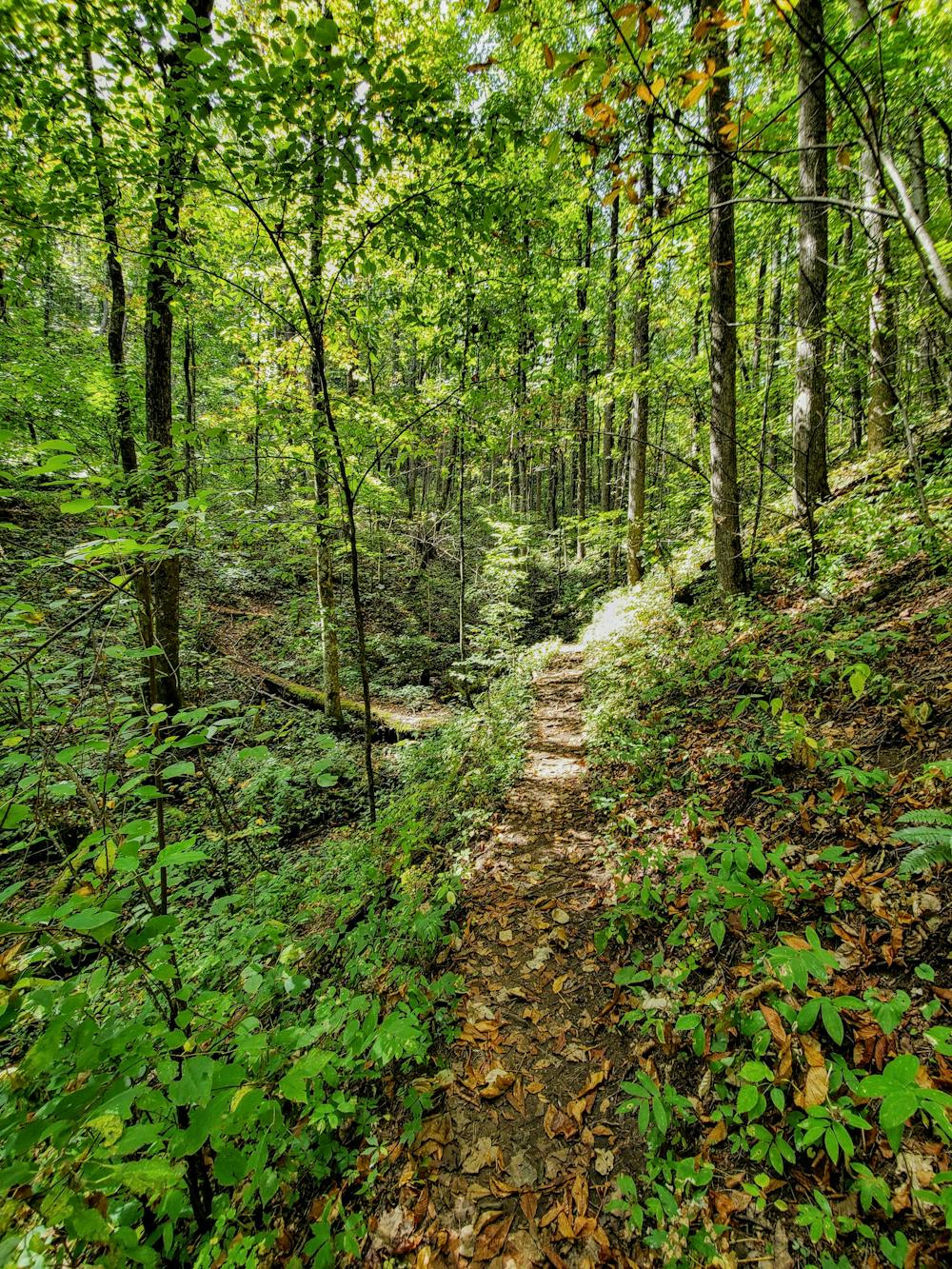
The trailhead is off Forest Service Road 388 (FS-388), about 30 minutes from Franklin. The road is gravel for the last few miles, but maintained to a point that most 2wd vehicles with moderate clearance shouldn't have any issues. There are no facilities at the trailhead, other than a blaze marking the trail.
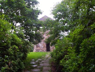
Should you find the time, the nearby section of the Appalachian Trail leads north from the state highway bound for Siler Bald and Wayah Bald as nearby destinations. Wayah, in particular, is noted for its historic stone lookout tower, offering stunning views from just above 5,300'.
Moderate
Hiking along trails with some uneven terrain and small hills. Small rocks and roots may be present.

The trail contains some obstacles such as outcroppings and rock which could cause injury.
Away from help but easily accessed.
3 km away
A beautiful trek across Wayah and Wesser Balds.
Difficult Hiking

58 routes · Hiking
10 routes · Hiking