11 m away
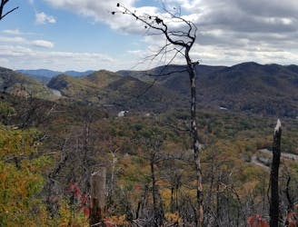
Kitsuma Loop
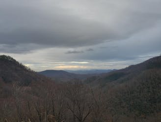
One of the fastest descents in Pisgah with easy access from town.
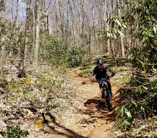
Difficult Mountain Biking
- Distance
- 15 km
- Ascent
- 570 m
- Descent
- 569 m
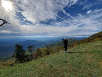
Kitsuma via Old US 70, then Heartbreak Ridge via Curtis Creek Road
Mountain Biking Severe

This is a popular mountain biking route which is generally considered to be severe. It's very remote, it features high exposure and is typically done all year round. From a low point of 451 m to the maximum altitude of 1.5 km, the route covers 74 km, 2618 vertical metres of ascent and 2618 vertical metres of descent.
Long backcountry old-style Pisgah ride with long climbs and epic world-class descents
Severe
Widely variable, narrow trail tread with steeper grades and unavoidable obstacles of 15in/38cm tall or less. Obstacles may include unavoidable bridges 24in/61cm wide or less, large rocks, gravel, difficult root sections, and more. Ideal for advanced-level riders.

Some trail sections have exposed ledges or steep ascents/descents where falling could cause serious injury.
Little chance of being seen or helped in case of an accident.
11 m away
One of the fastest descents in Pisgah with easy access from town.
Difficult Mountain Biking
4.6 km away
Arguably the most epic loop in Pisgah National Forest
Severe Mountain Biking
5.2 km away
A steep lollipop loop up Curtis Creek and down to the South Toe River.
Easy Mountain Biking
8 routes · Mountain Biking