2.6 km away
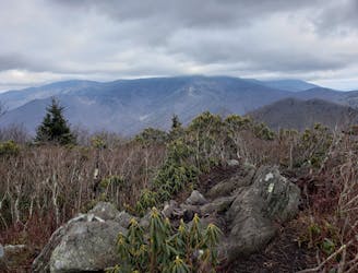
Kitsuma
A local favorite trail running loop with epic views and easy access from town.
Difficult Trail Running
- Distance
- 15 km
- Ascent
- 571 m
- Descent
- 571 m
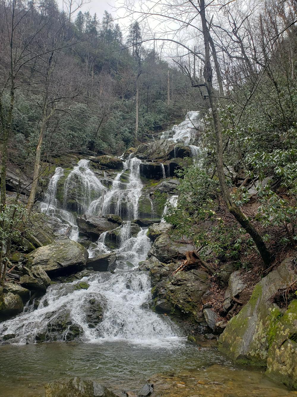
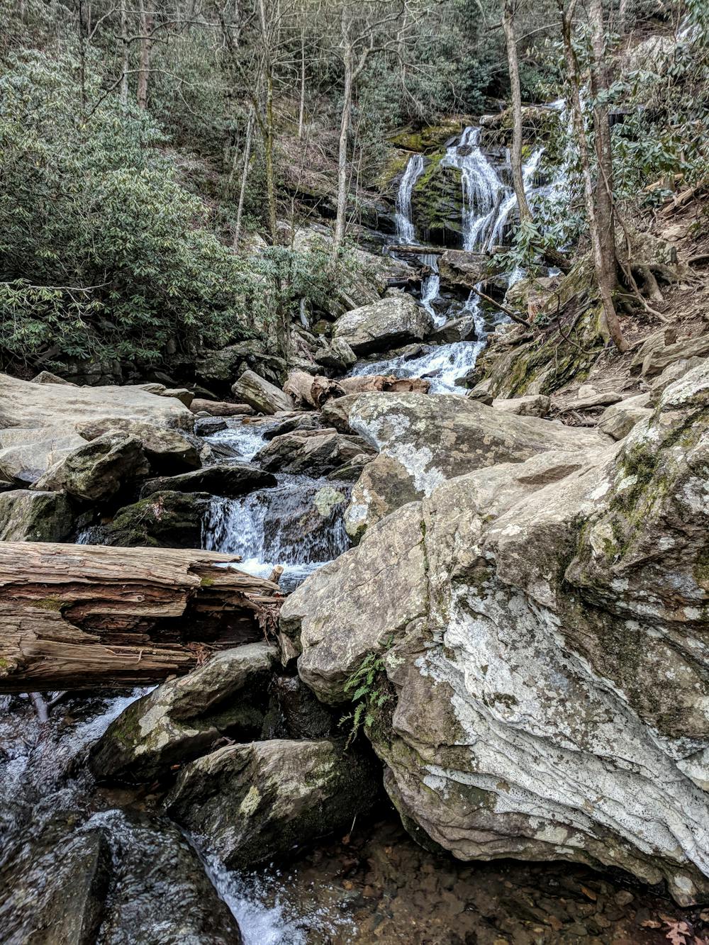
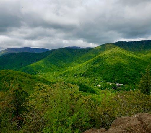
A quick run to one of North Carolina's best waterfalls.
Trail Running Easy

Just a short drive from Asheville, this run is an excellent opportunity to experience one of North Carolina's premier waterfalls. Most would consider the trail easy, though as you approach the base of the falls, off-camber rocks and roots may pose challenging obstacles to some.
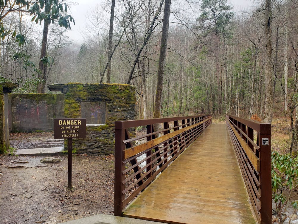
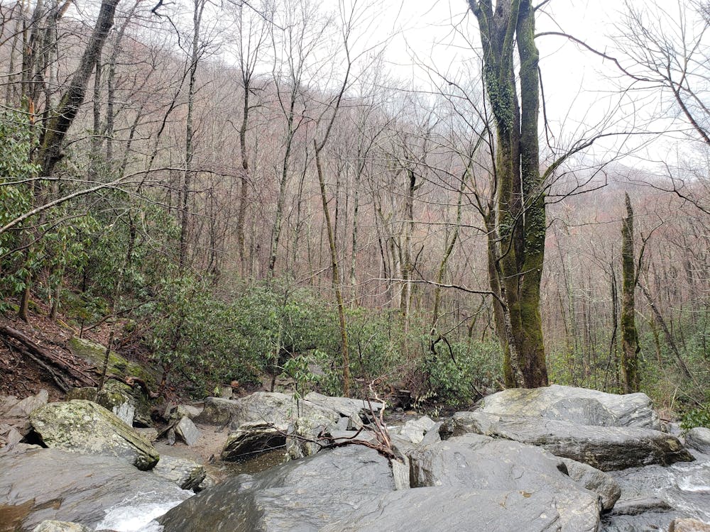
From the Old Fort exit on Interstate 40, follow Catawba Falls Drive southwest three miles to the large gravel parking lot. For those in larger vehicles or with small trailers, there is plenty of parking as well as a turnaround to ensure anyone can enjoy the falls. At the trailhead, you will find a kiosk with information, as well as a vault toilet.
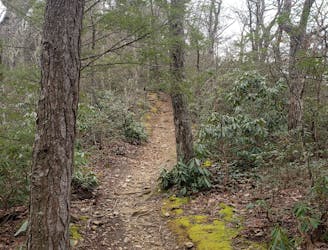
According to the National Forest, the trail is 1.2 miles to lower Catawba falls. Much of the path is an old two-track originally used to access a hydropower dam that powered nearby Old Fort in the early 1900s. Today, only remnants remain, offering a glimpse into the area's rich history. What many don't know is that Pisgah National Forest was the first official National Forest under the 1911 Weeks Act. Not far away along Curtis Creek Road, a placard denotes the first official tract of land acquired—one that laid the foundation for modern-day public lands.
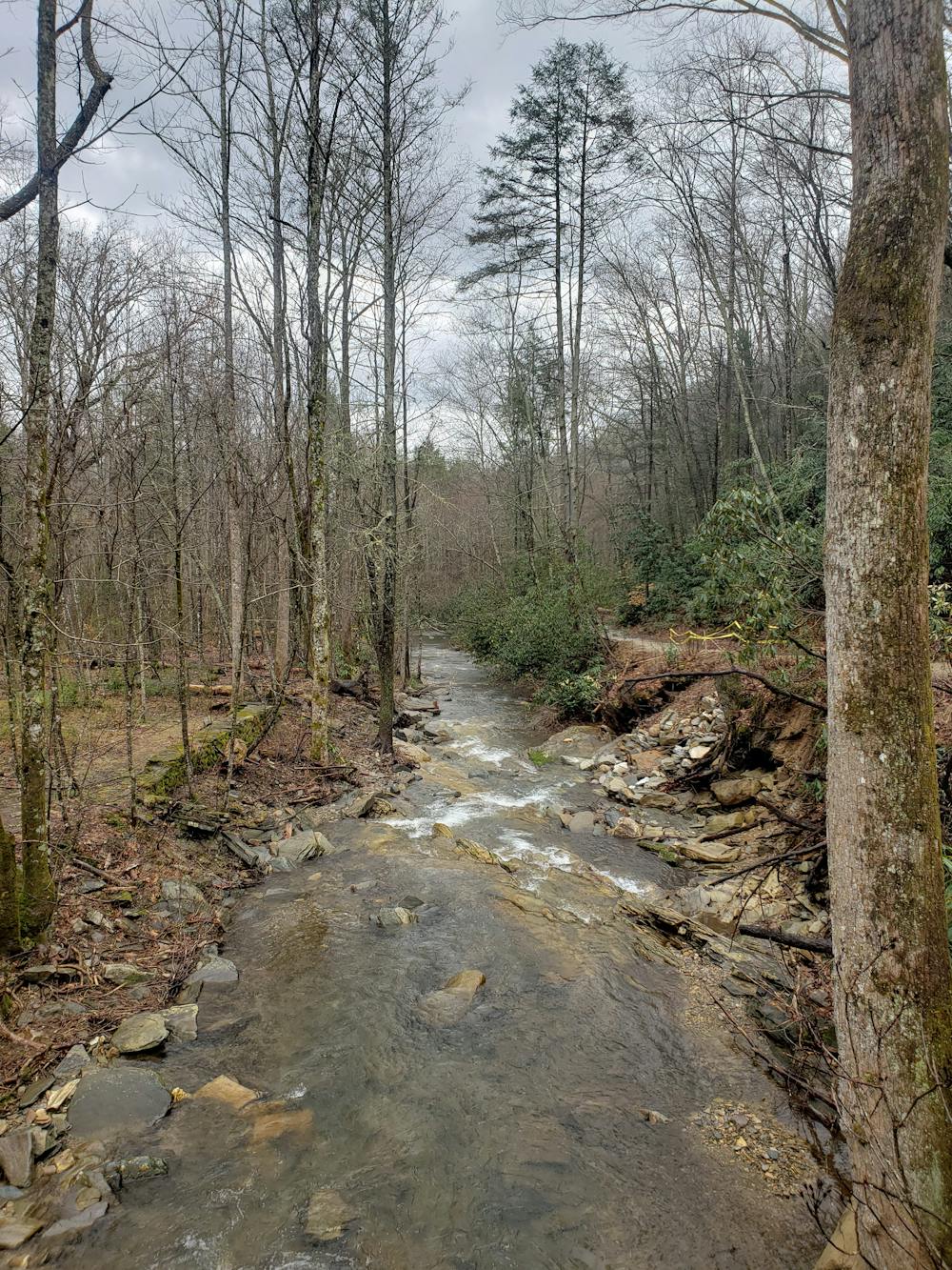
From the trailhead, the path climbs gradually to the falls. Along the way, you will pass over a couple of newer bridges, as well as streams that might require you to get your feet wet.
The two-track degenerates into a rough singletrack just short of the falls. Watch your footing as you complete the final portion to lower Catawba Falls—the namesake of the trail. Enjoy the beauty of this 100-foot waterfall and take the opportunity to cool off in the headwaters on a hot summer day.
Sources: https://www.fs.usda.gov/recarea/nfsnc/recarea/?recid=81789 https://www.fs.fed.us/land/staff/Documents/ASEH%20-%20NFs%20in%20the%20South.docx
Easy

The trail contains some obstacles such as outcroppings and rock which could cause injury.
Away from help but easily accessed.
2.6 km away
A local favorite trail running loop with epic views and easy access from town.
Difficult Trail Running
5.1 km away
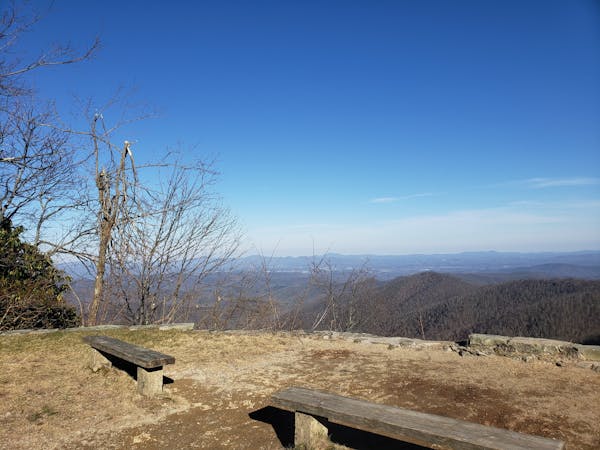
A punishing out-and-back trail run to the Blue Ridge Parkway with killer views along the way..
Severe Trail Running
6.4 km away
A scenic, yet demanding, trail run to some of the best views in Montreat.
Difficult Trail Running
7.8 km away
A must-do trail run in the Montreat Wilderness.
Difficult Trail Running
12 routes · Trail Running
6 routes · Trail Running