1.9 km away
Graybeard Mountain Trail
A must-do trail run in the Montreat Wilderness.
Difficult Trail Running
- Distance
- 15 km
- Ascent
- 727 m
- Descent
- 727 m
A scenic, yet demanding, trail run to some of the best views in Montreat.
Trail Running Difficult

This route is one of the best ways to experience some of Montreat's premier views. Located about 15 minutes from Interstate 40, and just north of Black Mountain, this area is a favorite among many. According to Montreat.org, the extensive, yet elusive, trail network includes 20 trails and over 40 miles as of 2019.
Stage your run at the trailhead along Lookout Road. There are a couple of small unpaved parking areas, with plenty of additional parking along the road.
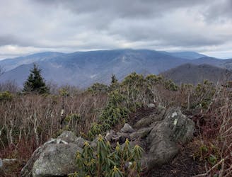
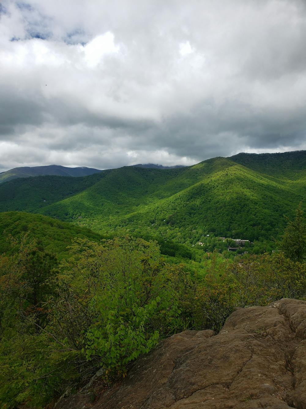
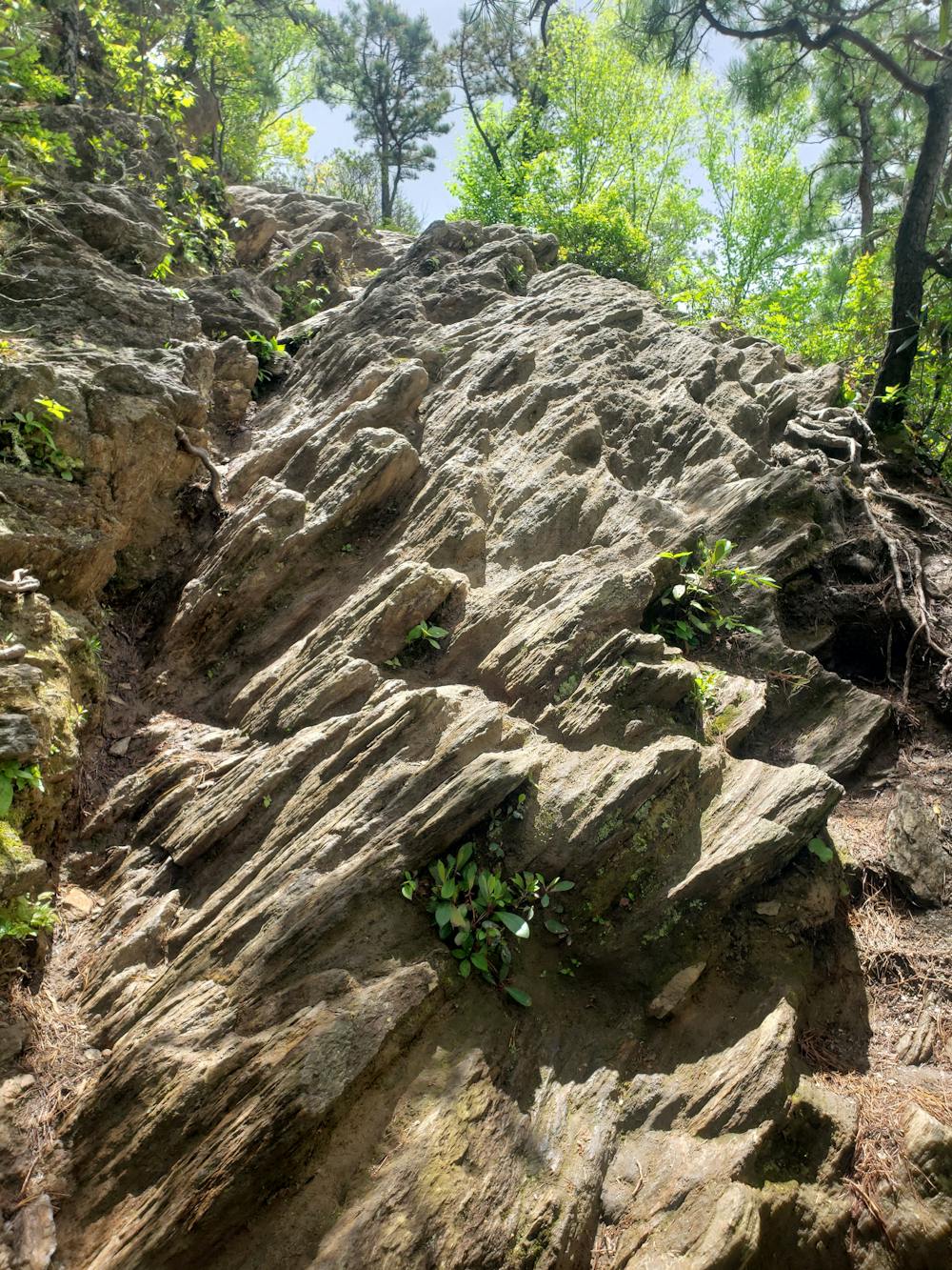
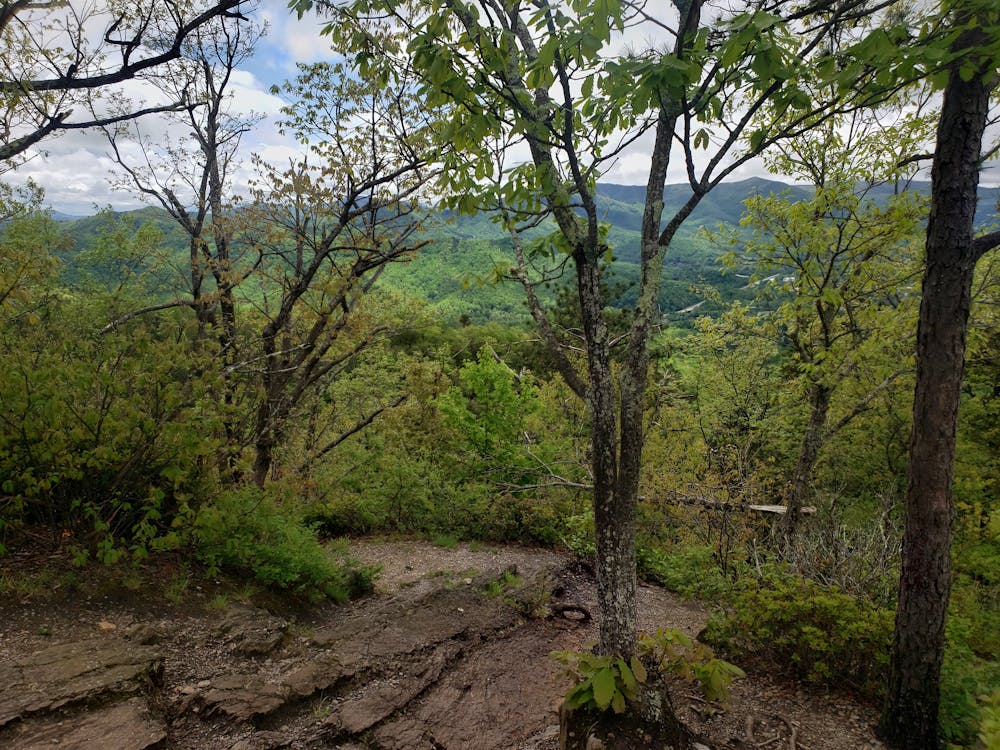
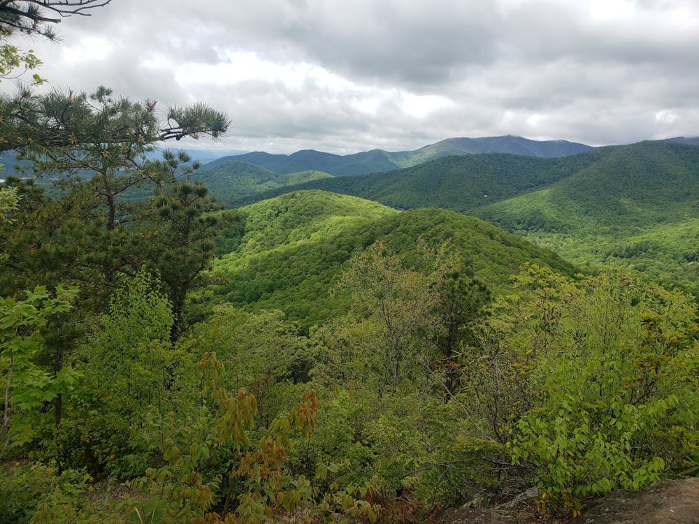
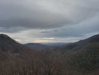
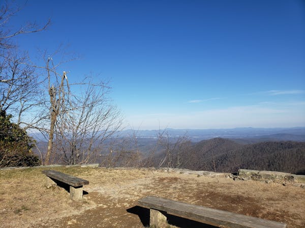
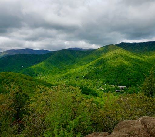
The run begins with a steep, demanding climb to the summit of Lookout Mountain. As you near the peak, the trail ascends in a stair-like manner before scrambling up a rock outcropping. Atop the summit, soak in the incredible views to the west—an excellent reward for your effort.
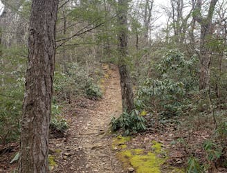
Ahead, the loop follows rugged, narrow singletrack across a ridgeline on the East Ridge Trail. Passing Boggs Bunion, the trail heads north to Brushy Mountain, where you'll be welcomed with even more views. At times, you may be able to catch a glimpse of Mount Mitchell to the north, the highest peak east of the Mississippi River.
The return trip follows Old Trestle Road in a steady descent back to the junction with the Lookout Mountain Trail. Head downhill to return to the trailhead and end your run.
Difficult

Some trail sections have exposed ledges or steep ascents/descents where falling could cause serious injury.
Little chance of being seen or helped in case of an accident.
1.9 km away
A must-do trail run in the Montreat Wilderness.
Difficult Trail Running
4.1 km away
A punishing out-and-back trail run to the Blue Ridge Parkway with killer views along the way..
Severe Trail Running
6.4 km away
A quick run to one of North Carolina's best waterfalls.
Easy Trail Running
6.5 km away
A local favorite trail running loop with epic views and easy access from town.
Difficult Trail Running
12 routes · Trail Running
6 routes · Trail Running