3.2 km away
Mount Pisgah
A short, yet challenging run with spectacular views from the summit of Mount Pisgah.
Difficult Trail Running
- Distance
- 3.8 km
- Ascent
- 214 m
- Descent
- 214 m
A short jog to a historic fire tower with breathtaking panoramic views.
Trail Running Easy

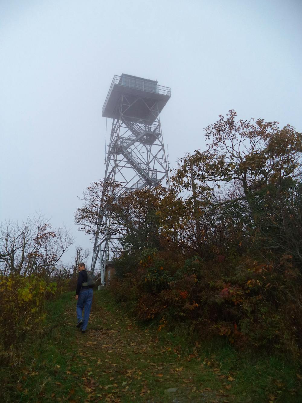
Commissioned in 1941, the 70' tall fire tower on Fryingpan Mountain is the perfect destination for a short run. The panoramic views from it's perch also make it the perfect spot to watch the sunrise or sunset. To many, this overlook offers considerably better views compared nearby Mount Pisgah, with much less effort to get there.
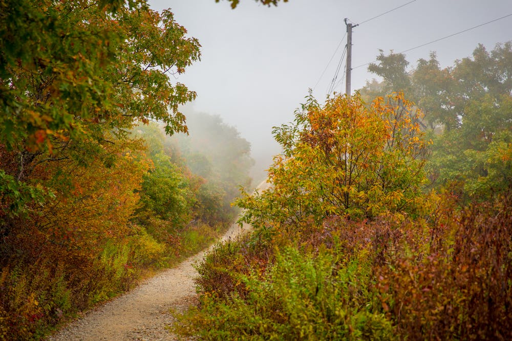
The path begins at an unmarked pull-off on the Blue Ridge Parkway. In the winter months, this portion of road is frequently closed due to ice and snow. Should the parking area be full, an overlook lies just east on the road and is often utilized for overflow or larger vehicles that can't fit at the trailhead.
As you make your way up the trail, keep left at the first intersection. An old trail leads to the right but has no real destination. The entire run follows a gated access road to the fire tower and the first half climbs steadily to a ridgeline before tapering into a steady grade.
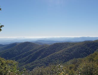
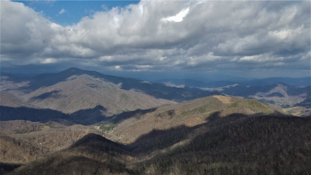
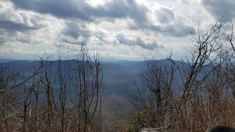
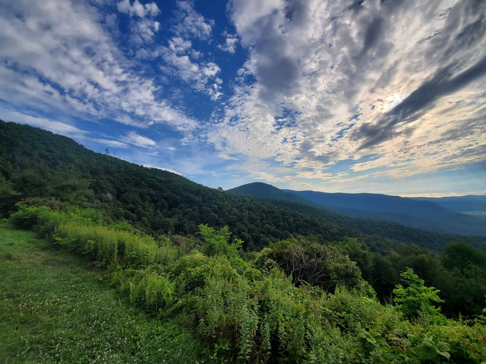
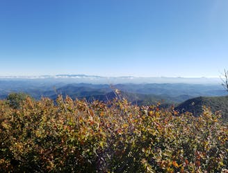
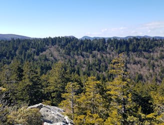
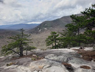
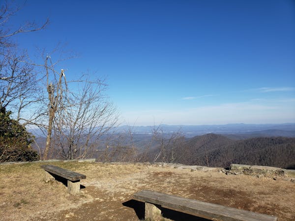
Upon reaching the top, climb the stairs of the tower and soak in the incredible 360-degree views of the surrounding Blue Ridge. The very top of the tower is closed to the public, but the views are still incredible. From the summit, Mount Pisgah can be seen to the north and the distant summits of the Great Balsam Range can be seen to the southwest. To the southeast, the fire tower stands tall above the historic Pink Beds Valley and the Cradle of Forestry. Directly to the south, the iconic Looking Glass Rock can also be seen on a clear day.
Sources: https://www.romanticasheville.com/fryingpantower.htm
Easy

The trail contains some obstacles such as outcroppings and rock which could cause injury.
Away from help but easily accessed.
3.2 km away
A short, yet challenging run with spectacular views from the summit of Mount Pisgah.
Difficult Trail Running
3.5 km away
A highly-acclaimed trail run starting at the top of Mount Pisgah, and ending at Mount Mitchell, the highest point east of the Rockies.
Difficult Trail Running
4.7 km away
A beautiful, relatively flat run through the historic Pink Beds Valley.
Easy Trail Running
5.5 km away
A challenging and incredibly-steep approach to Shining Rock.
Severe Trail Running
7 km away
A gem of a trail run showcasing some of the best features in Pisgah National Forest.
Difficult Trail Running
12 routes · Trail Running

10 routes · Trail Running