2 m away
Bandersnatch -> Red Queen
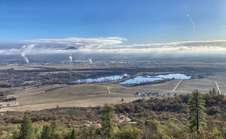
A popular hike high into the Ashland Watershed.
Moderate Hiking
- Distance
- 9 km
- Ascent
- 388 m
- Descent
- 388 m
A beautiful figure-8 hiking route.
Hiking Moderate

To avoid the dreaded monotony of the stereotypical out-and-back hike, try this figure-8 hike on for size!
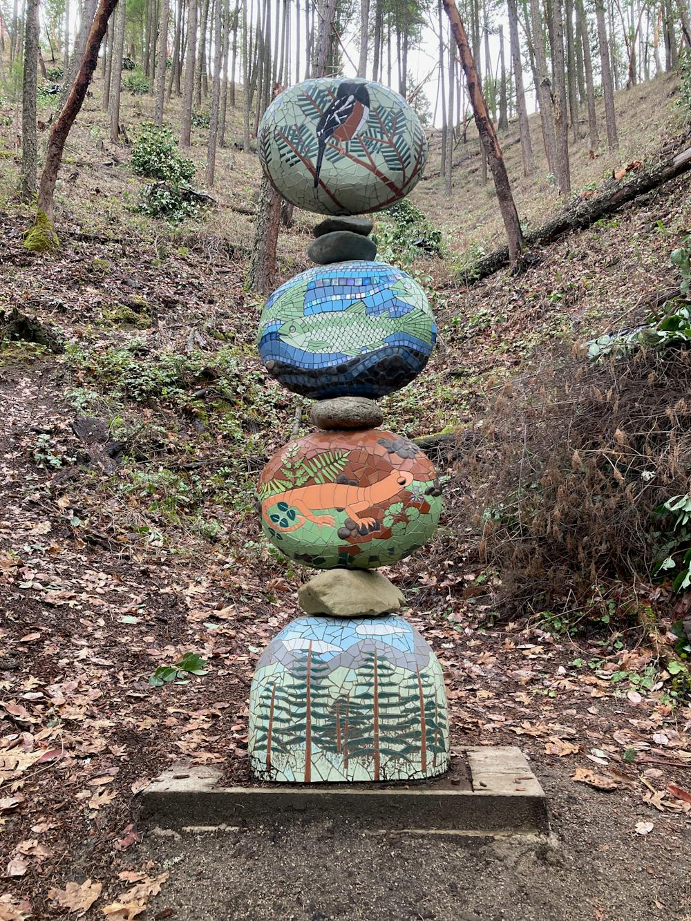
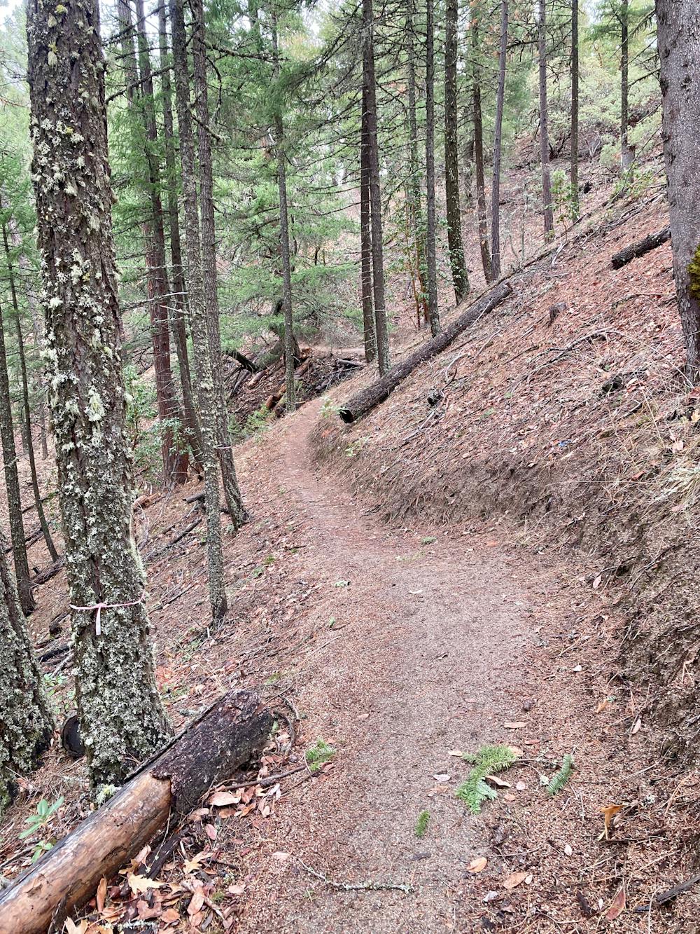
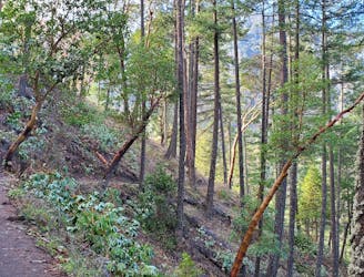
The route shown here covers some of the most popular trails in the Ashland Watershed and some that receive very little traffic. First, start by climbing the popular Bandersnatch trail past beautiful trailside artwork, quickly gaining elevation on the steep, switchbacked singletrack.
While the climb up the mountain is steep and arduous, switchbacking up a steep side slope, the trail tread itself is smooth and non-technical, which accounts for the "moderate" FATMAP rating. While you might have to step across a few roots or rocks, most of the trail is a smooth decomposed granite surface. In the middle of the hot and dry Southern Oregon summer, this surface can get a little slippery, but it still doesn't pose a significant challenge for most hikers.
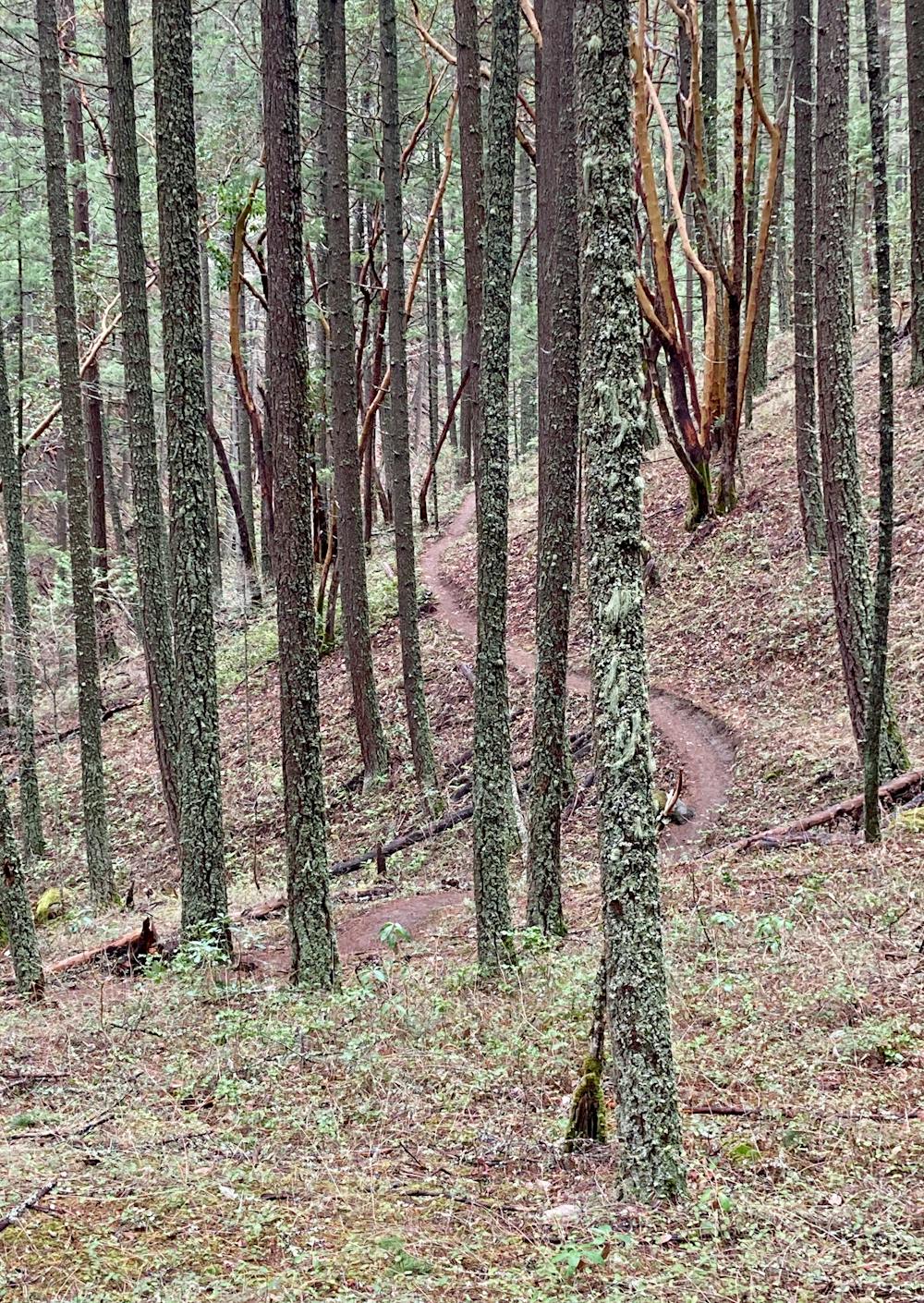
At a junction with Red Queen, begin following that marked benchcut trail until the junction with Gryphon. Here, the climbing resumes in earnest, pushing steeply up the mountainside until regaining another bench. Congratulations, the bulk of your climbing is now complete!
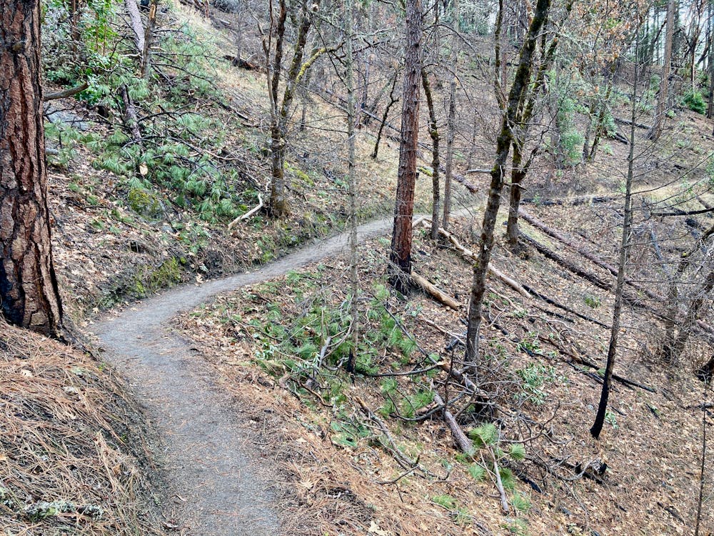
After meandering back across the upper bench, the route re-joins Bandersnatch and descends a steep series of switchbacks back to the junction with Red Queen. Near the same junction, look for signs for the Snark Trail.
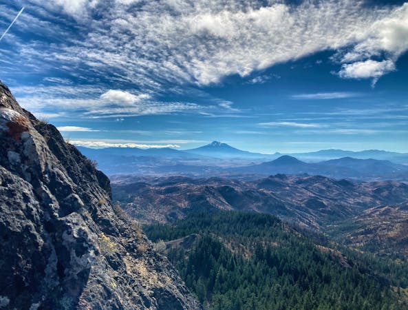
Snark swings deep into a beautiful, isolated valley. This is one of the few multi-use trails in the Ashland Watershed and is thus shared with mountain bikes, but even so, you'll leave the vast majority of the trail traffic behind. Enjoy the towering trees and lush undergrowth in this corner of the watershed.
You'll finish the hike with the sounds of the stream rushing below you, eventually joining the Waterline trail to return to the trailhead.
Moderate
Hiking along trails with some uneven terrain and small hills. Small rocks and roots may be present.

The path is on completely flat land and potential injury is limited to falling over.

Away from help but easily accessed.
2 m away
A popular hike high into the Ashland Watershed.
Moderate Hiking
1.3 km away
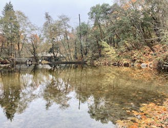
An easy out-and-back hike to a beautiful reservoir.
Easy Hiking
1.5 km away
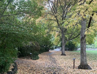
An easy loop walk with gorgeous fall colors!
Easy Hiking

52 routes · Mountain Biking · Freeride Skiing · Gravel Biking · Hiking · Road Biking
7 routes · Hiking
11 routes · Hiking